Obermoos - Zugspitze (Stopselziehersteig)
Starting point: Obermoos (1220 m)
| Lat/Lon: | 47,42653°N 10,94211°E |
| |
Name of path: Stopselziehersteig
Time of walking: 5 h
Difficulty: very difficult marked way
Ferata: A/B
Altitude difference: 1742 m
Altitude difference po putu: 1750 m
Map:
Recommended equipment (summer): helmet, self belay set
Recommended equipment (winter): helmet, self belay set, ice axe, crampons
Views: 10.413
 | 3 people like this post |
Access to the starting point:
Drive through the Karavanke Tunnel into Austria, then continue to Spittal and on to Lienz (the motorway ends a little after Spittal). We continue along a relatively nice and wide road through the Drava Valley, which leads us into Itali. The road continues past Dobbiaco/Toblach and Brunico/Bruneck. We continue on the main road and then join the motorway towards Austria (direction Brenner, Innsbruck). In Innsbruck, follow the motorway westwards along the Inn River (direction Innsbruck-West at the motorway junction). Leave the motorway at the exit for the Fernpaß Pass. Continue over the pass and when the road starts to descend, turn right towards Ehrwald (there are also signs for Zugspitze at the exit). As you pass through Ehrwald, the road to the Ehrwalder Almbahn first turns right. Continue straight on at the junction and you will soon come to a crossroads where you turn right towards the Tiroler Zugspitzbahn. Park in the parking lot at the bottom station of the gondola.
Path description:
From the parking lot, continue past the lower cable car station past the signs "Zugspitze / Wiener Neustädter Hütte". At the beginning, the path turns slightly to the right and then to the left to cart track, which runs along a grassy slope next to a forest. Climb for a while and then reach a crossroads where signs direct you left to dwarf pines. On the way through dwarf pines there is more and more torrential sand and soon a sign on a rock directs us slightly right onto a slightly better path on grassy terrain. From the path we have a fine view of the mountains to the west of Ehrwald, but the view of the nearby precipitous cliffs of the Schneefernerkopf is also getting better.
The path then soon leads to scree and begins to climb a little more steeply. The path then turns slightly to the left and briefly climbs again on a slightly more vegetated slope. Higher up, the scree once again becomes scree, which is climbed for some time in switchbacks. To the left of the path, you will also see a few buildings of the old cableway.
Further on, the path leads us to the slopes below the cableway where there is also a marked crossroads. At the crossroads, continue straight on, and the path to the left leads down towards Lake Eibsee. The path, which is occasionally protected by a steel cable, then crosses the slightly steeper northern slopes. Later, the path turns right and there is only a short climb to the Wiener Neustädter Hütte.
At the hut, turn left to the east and then climb up the scree slope to the entrance to the protected part of the trail.
The sheltered path first climbs moderately along a steel cable and then ascends through a natural vent. The path continues to climb steeply for some time, with the help of a number of scrambles. Higher up, the slope becomes slightly less steep but still mostly protected by a steel cable. In between there are also some unprotected sections, but they are not too difficult. This route then goes all the way to the ridge, along which there is also the abandoned building of the old gondola lift. At the ridge where the crossroads are, a slightly easier route from the Zugspitze ski area joins from the right. The ski slope is connected to the summit by a gondola lift, but there is also a train to the ski slope.
At the crossroads, continue left and then climb along a well-maintained protected path along the ridge. From the path along the eastern side of the ridge, you have a good view of the ski resort and the nearby peaks above the ski resort. Climb along the ridge for a while and then climb the stairs to the upper gondola stations.
If you want to go to the top where the cross stands, continue on the German side past the Münchener Haus hut and take the short sheltered path to the top. The trail first descends a little and then climbs up a ladder to a ridge where it joins the more difficult sheltered trails on the German side. There is only a short climb up the ridge to the summit, from which you have a view of the Höllentalferner glacier and the ridge towards the Alpspitze summit.

Pictures:
 1
1 2
2 3
3 4
4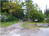 5
5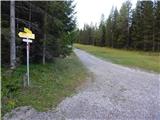 6
6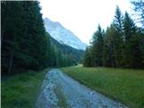 7
7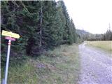 8
8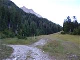 9
9 10
10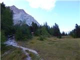 11
11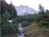 12
12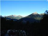 13
13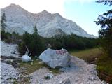 14
14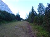 15
15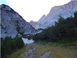 16
16 17
17 18
18 19
19 20
20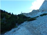 21
21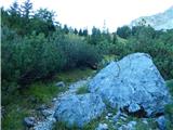 22
22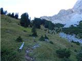 23
23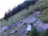 24
24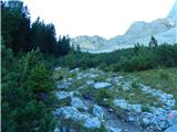 25
25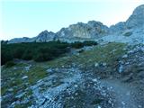 26
26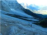 27
27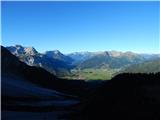 28
28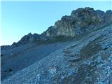 29
29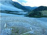 30
30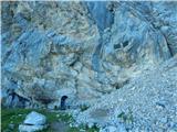 31
31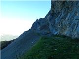 32
32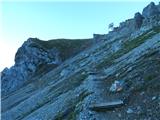 33
33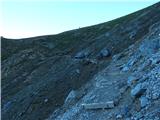 34
34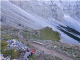 35
35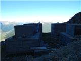 36
36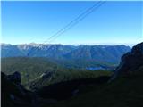 37
37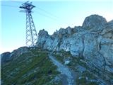 38
38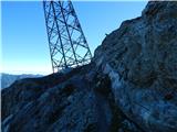 39
39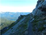 40
40 41
41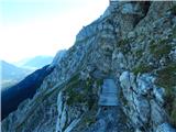 42
42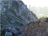 43
43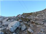 44
44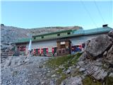 45
45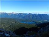 46
46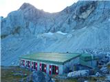 47
47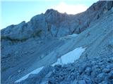 48
48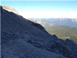 49
49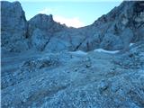 50
50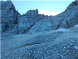 51
51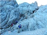 52
52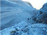 53
53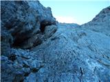 54
54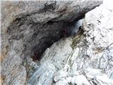 55
55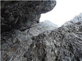 56
56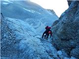 57
57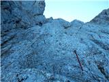 58
58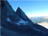 59
59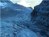 60
60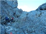 61
61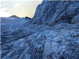 62
62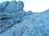 63
63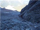 64
64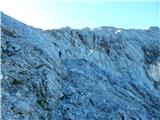 65
65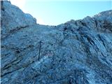 66
66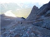 67
67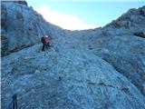 68
68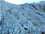 69
69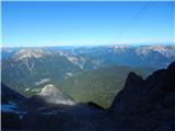 70
70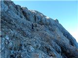 71
71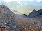 72
72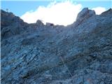 73
73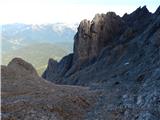 74
74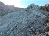 75
75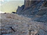 76
76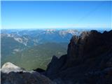 77
77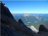 78
78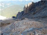 79
79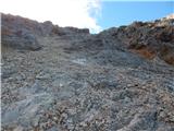 80
80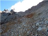 81
81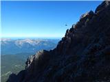 82
82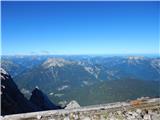 83
83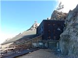 84
84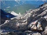 85
85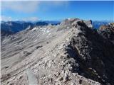 86
86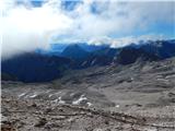 87
87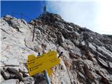 88
88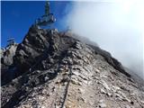 89
89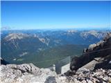 90
90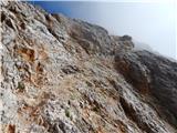 91
91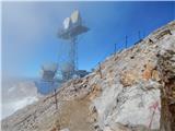 92
92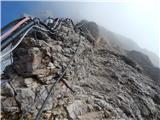 93
93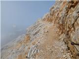 94
94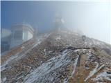 95
95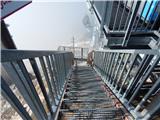 96
96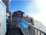 97
97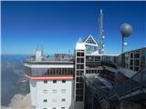 98
98 99
99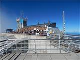 100
100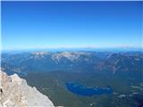 101
101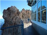 102
102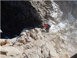 103
103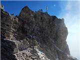 104
104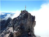 105
105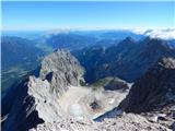 106
106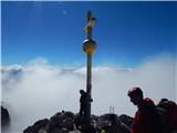 107
107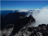 108
108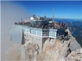 109
109
Discussion about the trail Obermoos - Zugspitze (Stopselziehersteig)
|
| VanSims12. 09. 2013 |
Pot je v redu opisana, tudi slike nazorne, popravil pa bi samo ime poti: "Stopselziehersteig".
Pot opravil v sklopu letošnjega dopusta. Je sicer 'zelo zahtevna' a tehnično po moje sodi v spodnji razred tovrstnih poti, izpostavljenost tudi ni ne vem kako silna. Se pa ne sme podcenjevati v kondicijskem smislu, gre za resen gorniški podvig na ravni recimo Triglava.
Sestopimo lahko z žičnico na tirolsko stran, če smo tam pustili avto. Obstajala naj bi tudi neka peš pot pa nisem točno siguren kje gre, kolikor se spomnim pa ne pripelje direkt do spodnje postaje.
Izkušenejši pa seveda lahko kombinirajo s kakimi zahtevnejšimi potmi(Höllentalsteig - skozi lepo sotessko) ali pa izjemno zahteven Jubileumsgrat(D, -III), ki pripelje na sosednji Alpenspitz.
|
|
|
|
| Rok12. 09. 2013 |
Sem popravil na Stopselziehersteig.
Drugače pa sem bil na Zugspitze 3.9.2013. Sestopil sem po poti, ki jo omenjaš. Ta pot je še malo lažja, vendar nekoliko daljša. Z vrha sem se najprej spustil do smučišča in nato do koče Knorrhütte. Od tam pa proti kraju Ehrwald. Malo pod vrhom Zugspitze je tabla "Ehrwald - übers Gatterl - 6h".
Dol prideš na parkirišče pri žičnici Ehrwalder Almbahn. Nazaj do avta pa je potem še približno uro in pol hoje.
|
|
|
|
| cvetonmk6. 08. 2021 12:00:31 |
Sem šel iz Eibsee na vrh, mimo Wiener Neustädter Hütte. Pot je fizično zahtevna, saj narediš 2000 v.m. Pot se malo pred Wiener Neustädter Hütte priključi tisti iz Ehrwalda in nadaljuje po zgoraj opisani poti.
|
|
|