Starting point: Ocinje (292 m)
| Lat/Lon: | 46,82254°N 16,00183°E |
| |
Time of walking: 15 min
Difficulty: easy unmarked way
Altitude difference: 60 m
Altitude difference po putu: 60 m
Map: Pomurje 1:40.000
Recommended equipment (summer):
Recommended equipment (winter):
Views: 207
 | 1 person likes this post |
Access to the starting point:
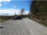
Drive to Gederovci (to get here from Murska Sobota or Radenci), then continue to Kuzma. After Rogašovci we arrive at Nuskova, and a little further on at Serdica, where the signs for Ocinje direct us to the left. Further on, we climb a small pass, from which we descend to Ocinje. There is a more distinct left turn, then go right to park in the parking lot below the cemetery.
Path description:
From the parking lot, continue along the dirt road, which continues north-westwards. At first you climb along the pine forest, and then, after the beehive, you arrive among the fields, from where you have a beautiful view of Goričko. Higher up, the road flattens out, and at a fork, take the road to the right. There are a few more minutes of scenic climbing, and when the road reaches its highest point, you arrive at Apneni breg.
Description and pictures refer to April 2021.
Pictures:
 1
1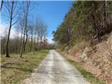 2
2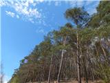 3
3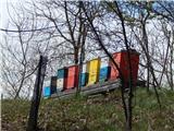 4
4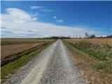 5
5 6
6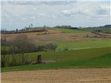 7
7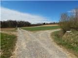 8
8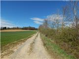 9
9 10
10 11
11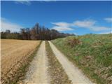 12
12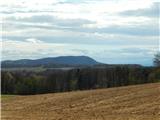 13
13
Discussion about the trail Ocinje - Apneni breg