Okrog pri Motniku - Vivodnik (via Oseke and peak Drč)
Starting point: Okrog pri Motniku (784 m)
| Lat/Lon: | 46,2274°N 14,832°E |
| |
Name of path: via Oseke and peak Drč
Time of walking: 2 h 15 min
Difficulty: easy unmarked way
Altitude difference: 724 m
Altitude difference po putu: 735 m
Map: Zgornja Savinjska dolina 1:50.000
Recommended equipment (summer):
Recommended equipment (winter): ice axe, crampons
Views: 2.652
 | 1 person likes this post |
Access to the starting point:
a) First drive to Kamnik, then continue along the regional road through the Tuhinj valley. Just after the village Laze v Tuhinju, you will reach a petrol station, at which the road to the left turns off towards the villages Golice, Češnjice v Tuhinju and Okrog pri Motniku. Turn left here and follow the slightly narrower road quickly to the village of Češnjice v Tuhinju and a few 100 m after this village to the village of Okrog at Motnik, where the route described above begins. Park in a suitable place on the roadside in front of or behind the village.
b) From the motorway Maribor - Ljubljana, take the exit Vransko and then continue in the direction of Kamnik. At Špitalič, take the second exit to the right, where you will see the signs for Menino mountain pasture and Okrog pri Motniku. After the nearby church, turn left and then follow the narrower road up towards Okrog pri Motniku. When you reach the main road leading from Češnjice v Tuhinju towards Menina mountain pasture, you are at the beginning of the route described above. Park in a suitable place on the main road, above or below the village.
Path description:
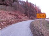
From Okrog pri Motniku, at the part where the main road from Češnjice v Tuhinju joins the steep road from Špitalič (at the junction there are signs for Around house Nos 1, 2 and 3), turn left off the main road onto the local road, which climbs between the houses. There is a marker on one of the houses, and we continue above the village at an unmarked fork in the track on the left, which ascends crosswise above the village. For a short time we climb crosswise to the left, then the track turns right and after a few minutes leads us to the road leading to Menina mountain pasture, and we follow it to the left, and quickly arrive at a marked crossroads, where we see the first mountain signs along the way.
From this junction, follow the road to the left in the route Dom na Menini planini via Oseke and Drč Peak (to the right Biba mountain pasture and Dom na Menini planini via Biba mountain pasture). The road, which continues to climb crosswise, quickly leads us into the lane of the forest, and then after a few minutes we leave it and move onto a grassy slope which opens up a view which, in good weather, reaches all the way to Bjelolasica and Snežnik (Snežnik). When the grazing fence on the left ends, the track from Češnjice v Tuhinju joins us on the left, and we continue to the right on a fairly steep track, which quickly leads to the Kovran hut, where the track turns slightly to the left. There is a cross-climb to the left and then a crossroads, where a short path continues straight ahead to a nearby hut on the edge of a larger mountain pasture, and we continue to the right and continue climbing along a pasture fence. Higher up, at the trestle, take the second turning to the right and continue to climb along the pasture fence, and a fine view opens up from the path towards Kumu. After a few minutes of steep climbing, cross the pasture fence and the track widens and lays down. Continue along the wider cart track, which continues between pastures, crossing several fences that are placed over the cart track. A little further on, we even see some old waymarks along the way, and we join a minor road behind them, which we follow upwards. After a minute or so of further walking, we reach a wider road, and we follow it to the left in the direction of Tuhinj (on the right Biba mountain pasture). We walk along the wider road for a few minutes, and then at the beginning of a left bend, we continue slightly to the right onto a forest road, which we follow moderately uphill through the forest. When the road leads us out of the forest, we arrive at Česensko poljano, where the road turns into a cart track, which leads us in a slight downhill to a crossroads, where we join the marked trail Golice - Dom na Menini mountain pasture. Follow the trail to the right, then follow the signs at several crossroads. When the forest thins out again higher up, you arrive at a marked crossroads where the trail splits into two parts. The right path leads to Vivodnik, while the left one bypasses the summit and leads directly to Doma na Menini mountain pasture. Continue along the right-hand path, which, with occasional views, quickly leads to the highest peak of the Menina mountain pasture, where there is a small wooden lookout tower.
Description and pictures refer to the situation in 2015 (December).

Pictures:
 1
1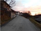 2
2 3
3 4
4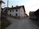 5
5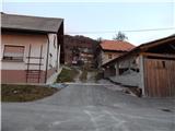 6
6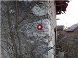 7
7 8
8 9
9 10
10 11
11 12
12 13
13 14
14 15
15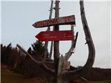 16
16 17
17 18
18 19
19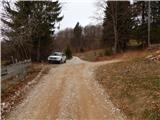 20
20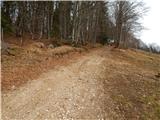 21
21 22
22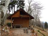 23
23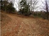 24
24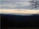 25
25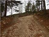 26
26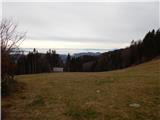 27
27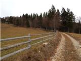 28
28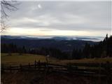 29
29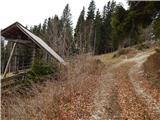 30
30 31
31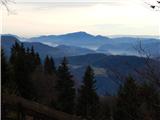 32
32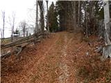 33
33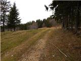 34
34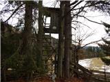 35
35 36
36 37
37 38
38 39
39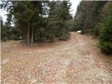 40
40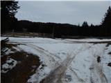 41
41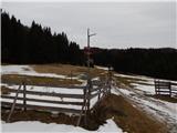 42
42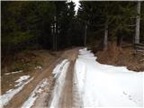 43
43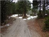 44
44 45
45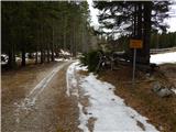 46
46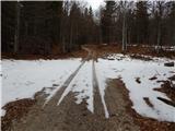 47
47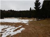 48
48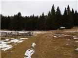 49
49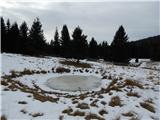 50
50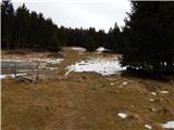 51
51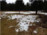 52
52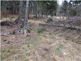 53
53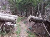 54
54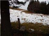 55
55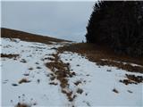 56
56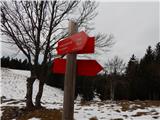 57
57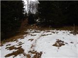 58
58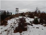 59
59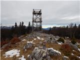 60
60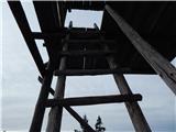 61
61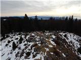 62
62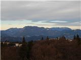 63
63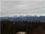 64
64
Discussion about the trail Okrog pri Motniku - Vivodnik (via Oseke and peak Drč)