Olimje - Sveti Andrej above Olimje
Starting point: Olimje (264 m)
| Lat/Lon: | 46,1496°N 15,5628°E |
| |
Time of walking: 15 min
Difficulty: easy marked way
Altitude difference: 87 m
Altitude difference po putu: 87 m
Map: Posavsko hribovje Boč - Bohor 1:50.000
Recommended equipment (summer):
Recommended equipment (winter):
Views: 2.946
 | 2 people like this post |
Access to the starting point:
The starting point is definitely Podčetrtek, today already an important tourist/tourism destination in Slovenia, perfectly accessible from several directions. . .
a) From the route of Celje, or Maribor, head towards Podčetrtek at Mestinje. Via Pristava pri Mestinju and Sodna vas, you will soon reach Podčetrtek, where at the roundabout follow the signs for Olimje. After three or four kilometres, reach Olimje and park safely by the church/monastery complex.
b)From the route of Brežice or Bistrica ob Sotli, reach Podčetrtek, where at the roundabout follow the signs for Olimje. After three or four kilometres, reach Olimje and park safely at the church/monastery complex.
Path description:
From the centre of Olimje, continue left up along the monastery complex on the tarmac road and follow the signs for St Andrej. After about 100 metres the path or road turns left, straight ahead is the Cottage of the Witches. Continue and after a good hundred metres you reach the crossroads again. Continue sharp right uphill, on the left is the entrance to Deer Ridge. The path up, or road, winds steeply along the fence of Deer Ridge and this is also the southern end of Rudnica. The Olimje water reservoir is also along the way. Soon after, after a few left turns, right turns. . . we reach the destination, the Church of St. Andrew above Olimje.
The length of the trail is about 800 metres, 90 positive vertical metres and zero negative vertical metres. The route description was done on 12. 10. 2014.
Pictures:
 1
1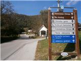 2
2 3
3 4
4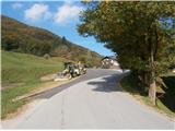 5
5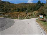 6
6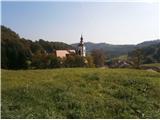 7
7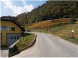 8
8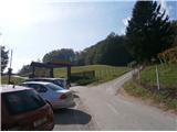 9
9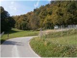 10
10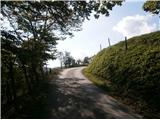 11
11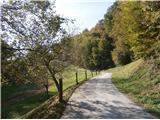 12
12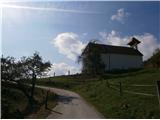 13
13 14
14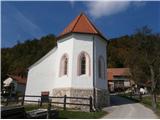 15
15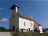 16
16
Discussion about the trail Olimje - Sveti Andrej above Olimje
|
| bruny16. 10. 2014 |
Ja zanimivo je Olimje z bližnjo okolico. Pot je orientacijsko nezahtevna. Do vključno slike št. 9 seveda tudi nekje visoko turistično zadeva. V nadaljevanju in višje nekoliko manj obiskano in navduši predvsem sredozemski pridih podružnične cerkvice. Vprašanje je ali so z njegovo gradnjo hoteli ugajati oglejski cerkveni oziroma posvetni gospodi pred daljnimi stoletji, morda so bili samo graditelji od tam ali pa morda povratniki, domači fantje iz sredozemskih bojišč in so v zahvalo za srečen povratek postavili takšen zvonik v zahvalo, spomin, opomin...Kdo bi videl, ni danes pomembno. Prijetna, nekoliko umirjena točka vsekakor danes v tem dokaj turistično prepoznavnem območju Kozjanskega. GPS zapis poti: Sv. Andrej nad Olimjem iz središča naselja Olimje,12.10.2014.Lep pozdrav
|
|
|