Oplotnica - Sveti Mohor (Lačna Gora)
Starting point: Oplotnica (370 m)
| Lat/Lon: | 46,38692°N 15,44683°E |
| |
Time of walking: 45 min
Difficulty: easy marked way
Altitude difference: 232 m
Altitude difference po putu: 232 m
Map: Pohorje 1:50.000
Recommended equipment (summer):
Recommended equipment (winter): ice axe, crampons
Views: 410
 | 1 person likes this post |
Access to the starting point:
a) From the motorway Ljubljana - Maribor take the exit Slovenske Konjice, then follow the signs for Slovenske Konjice. From the roundabout after the OMV petrol station, take the first exit to the right towards Slovenska Bistrica, and from Slovenska Bistrica take the road to the left to Oplotnica and Osankarici. Turn towards Oplotnica and follow the road to the centre of the town, where you can park in one of the several car parks in the settlement.
b) From the motorway Maribor - Ljubljana, take the exit Slovenska Bistrica - South, then follow the signs for Slovenske Konjice. Shortly after Slovenska Bistrica, turn right towards Oplotnica, then drive to the centre of Oplotnica, where you can park in one of several car parks in the village.
Path description:
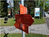
From the centre of the village, follow the path towards Osankarice, Černý jezero and Treh Kraljev, first walking along the pavement past the Mercator shop, the Pohorski Bataljona Oplotnica primary school to the Salama pizzeria, where you turn left and then immediately right, passing the pizzeria on your right.
The way forward begins to climb visibly on a narrower asphalt road, which leads us past occasional houses, and when we arrive in the Lačna Gora settlement, we also have a beautiful view of Oplotnica and the surrounding hills.
Higher up, at the cross, the signs for the Black Lake direct us to the right, where we pass the last house, after which we continue our ascent on the dirt road, soon turning left into the woods on a marked footpath. Climb steeply through the woods, cross the dirt road we have recently left a little higher up, and then climb moderately to reach the Church of Sts.
Description and pictures refer to April 2022.
Pictures:
 1
1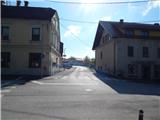 2
2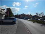 3
3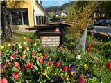 4
4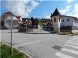 5
5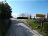 6
6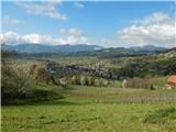 7
7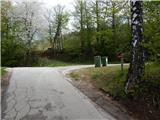 8
8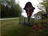 9
9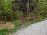 10
10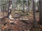 11
11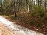 12
12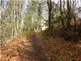 13
13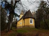 14
14
Discussion about the trail Oplotnica - Sveti Mohor (Lačna Gora)