Starting point: Ortnek (540 m)
| Lat/Lon: | 45,7918°N 14,6792°E |
| |
Time of walking: 40 min
Difficulty: easy marked way
Altitude difference: 225 m
Altitude difference po putu: 225 m
Map:
Recommended equipment (summer):
Recommended equipment (winter):
Views: 8.285
 | 2 people like this post |
Access to the starting point:
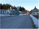
From Ljubljana, we drive to Kočevje, but only as far as Ortnek. Here, turn right at the end of the village, cross the railway line and park at an old petrol station.
From Kočevje, drive towards Ljubljana, but only as far as Ortnek, where you turn left, cross the railway line and then park at the old petrol station.
Path description:
Between the abandoned petrol station and the railway station, you will see a forest road going past the house into the forest by the railway siding. After a few metres of ascent, you will see the first markings and a sign informing you that you are entering a bear area.
After 5 minutes of climbing, the road climbs moderately and leads to the first crossroads, where you continue along the marked road on the right. The road climbs a little steeper at first, but then it flattens out and leads us to a marked crossroads where we continue sharp left in the direction of Ortneškega grad (straight Sveti Gregor). From the road, which is getting worse and steeper, we get a higher view towards the village Sveti Gregor and the surrounding hills. The road, which turns increasingly to the left in the last part, leads us to a spacious summit within a few minutes of further walking. Here you will see the ruins of the Old Ortne Castle on the left and a large meadow on the right, at the end of which is a PTV station with a stamp and a registration box.

Pictures:
 1
1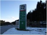 2
2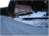 3
3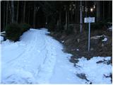 4
4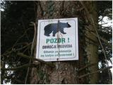 5
5 6
6 7
7 8
8 9
9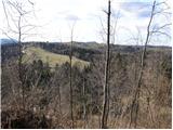 10
10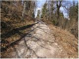 11
11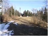 12
12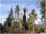 13
13 14
14 15
15
Discussion about the trail Ortnek - Ortnek Castle
|
| milos8231. 05. 2020 |
V vednost: žiga na vrhu žal že dolgo (beri: leta) ni več.
|
|
|