Otovci (football pitch) - Vukova kapela (Vidonci)
Starting point: Otovci (football pitch) (310 m)
| Lat/Lon: | 46,80975°N 16,16524°E |
| |
Time of walking: 45 min
Difficulty: easy unmarked way
Altitude difference: 91 m
Altitude difference po putu: 115 m
Map: Pomurje 1:40.000
Recommended equipment (summer):
Recommended equipment (winter):
Views: 177
 | 1 person likes this post |
Access to the starting point:
We drive to Murska Sobota, then continue our journey to Hodoš. A little after Mačkovci, turn left towards Otovcim. Follow the main road through Otovce, or keep slightly to the right. There is a bit of a climb and two longer bends, then from the junction behind the bus station continue right towards the Smodiš tourist farm (Vidonci on the left), at which you turn left downhill and then immediately right. Follow the road downhill to the football field, where you park in a suitable place.
Path description:
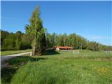
From the crossroads by the football field, take the road heading north-west towards Šebdjanovo Breg. Before you reach the village, turn left onto the dirt road that continues along the Bezjakovski brook. After a few minutes, we reach a crossroads, and we go left (right Miškin Breg) and after five steps right up (straight Mijalni Breg), onto the road that climbs towards Benkine Breg and Vučkine Breg. After the hamlet of Vučkin Breg, the road turns into a forest, through which it climbs moderately, but gently higher up to meet an asphalt road, which is followed to the left.
The asphalt road then leads past a hunting observation post, and when you leave the forest, turn right onto a side road, which quickly ascends to Vukova kapela, which offers a beautiful view.
Description and pictures refer to May 2022.
Pictures:
 1
1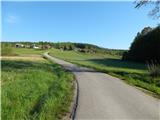 2
2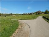 3
3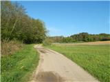 4
4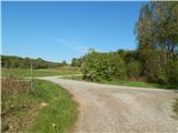 5
5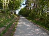 6
6 7
7 8
8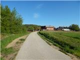 9
9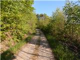 10
10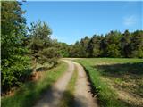 11
11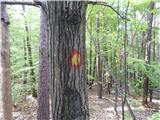 12
12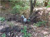 13
13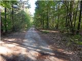 14
14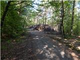 15
15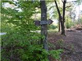 16
16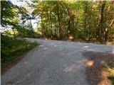 17
17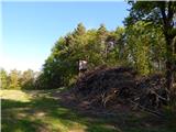 18
18 19
19 20
20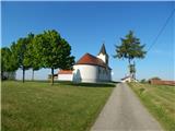 21
21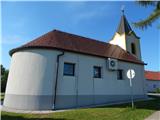 22
22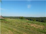 23
23
Discussion about the trail Otovci (football pitch) - Vukova kapela (Vidonci)