Starting point: Ozeljan (95 m)
| Lat/Lon: | 45,941°N 13,7329°E |
| |
Time of walking: 1 h 55 min
Difficulty: easy unmarked way
Altitude difference: 509 m
Altitude difference po putu: 535 m
Map: Goriška - izletniška karta 1:50.000
Recommended equipment (summer):
Recommended equipment (winter):
Views: 1.170
 | 1 person likes this post |
Access to the starting point:
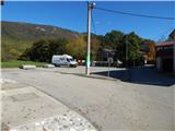
a) From the Vipava expressway, take exit Vogrsko and then continue in the direction of Tolmin and Ozeljana. When you reach the old Ajdovščina - Nova Gorica road, turn right at the traffic lights towards Ajdovščina. When you reach Ozeljan, in the hamlet of Otava, turn left onto a slightly narrower road that leads between houses. After a few 100 metres, when you reach a small crossroads by Zavarovalnici Triglav, Pošta Slovenije and Ozlinka, continue straight ahead and park in the parking lot by the ecological island. You can also park in the cemetery parking lot about 100 metres away, to the left of the junction.
b) From Nova Gorica, take the old road towards Ajdovščina, and then at the hamlet of Tri Hiše (the hamlet is located at the semaphoreised crossroads where the road to Vogrsko branches off to the right), continue straight ahead. When you reach Ozeljan, in the hamlet of Otava, turn left onto a slightly narrower road that leads between houses. After a few 100 metres, when you reach a small crossroads by Zavarovalnici Triglav, Pošta Slovenije and Ozlinka, continue straight ahead and park in the parking lot by the ecological island. You can also park in the cemetery parking lot about 100 metres away, to the left of the junction.
Path description:
From the starting point, continue east (in the route of the description to the starting point from the junction where we parked on the right), where the path leads us past the Konem Color company, and then we arrive at the junction where we continue left (right Lepenje) on the ascending asphalt road. The road continues past a few more houses, and then continues along the "main" road at the next few junctions. When you reach a crossroads higher up, near the hamlet of Opade, you continue straight up onto a dirt road, with a road sign "telling" you that you will continue along the fire road. Continue along the dirt road, which climbs gently to moderately, occasionally offering some views of the surrounding hills. Higher up, at the next sign for the firebreak, continue straight ahead or slightly to the right. Some 10 paces further on, the road starts to descend, and we continue left at this point on cart track, which climbs to a marked crossroads.
From the crossroads go right (left Vodice), and then quickly reach the next worse macadam road, where you reach the path from Vitovlje (the path from Križišče).
This road is reached at the 7th stop of the crossroads, and we follow the road up through the forest. At a left turn a few minutes away, we pass a beautiful view of Vitovski hrib, and we follow the road to the next crossroads, which is located just before the 12th station of the Stations of the Cross.
From this crossroads we continue straight on (left Skozno, Kopitnik, Veliki Rob, Čaven. . . ), and we follow the deteriorating road all the way to the top of the Vitovski hrib lookout, where the Church of St. Mary stands.
Description and pictures refer to the situation in 2016 (October).

Pictures:
 1
1 2
2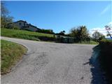 3
3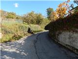 4
4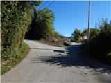 5
5 6
6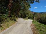 7
7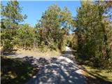 8
8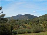 9
9 10
10 11
11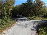 12
12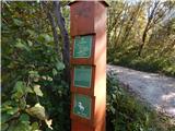 13
13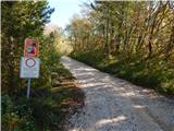 14
14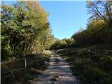 15
15 16
16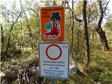 17
17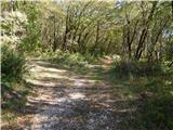 18
18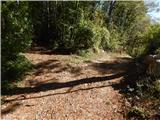 19
19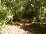 20
20 21
21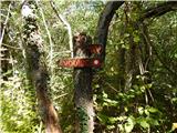 22
22 23
23 24
24 25
25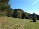 26
26 27
27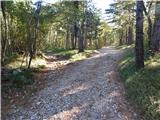 28
28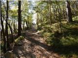 29
29 30
30 31
31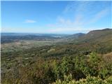 32
32
Discussion about the trail Ozeljan - Vitovski hrib