Pamschbauer - Weiße Wand (via Sveta peč)
Starting point: Pamschbauer (1068 m)
| Lat/Lon: | 46,4454°N 14,2533°E |
| |
Name of path: via Sveta peč
Time of walking: 2 h 55 min
Difficulty: easy pathless terrain
Altitude difference: 616 m
Altitude difference po putu: 665 m
Map: Karavanke - osrednji del 1:50.000
Recommended equipment (summer):
Recommended equipment (winter): ice axe, crampons
Views: 3.656
 | 1 person likes this post |
Access to the starting point:
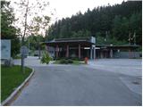
From the motorway Ljubljana - Jesenice take the exit Ljubelj (Tržič) and then continue in the direction of Klagenfurt / Klagenfurt. After the Ljubelj tunnel, turn left and park in the marked parking lot next to the former border crossing.
Path description:
On the western side of the abandoned border crossing, you can see an asphalt road that begins to climb gently towards the Pamž farm. Follow the asphalt road to the nearby torrent, where you continue along the lower macadam road (straight ahead to the Pamž farm). The road first descends gently, then turns left and continues with a few short ascents and descents. After a while the road turns to the right and starts to climb more steeply. The road, which has a few side branches, offers beautiful views of the surrounding mountains. Higher up, we reach a more distinct ridge, where, just after a sharp left turn, a less well-trodden hunting track branches off to the left and continues along the ridge to a hunting lodge, while we continue straight ahead and follow the road, which again gently descends, mainly to the north. Higher up, the road, which crosses several avalanche slopes, turns sharply to the left, and we follow it in a moderate ascent to the aforementioned hunting lodge (the road is about half an hour longer than the hunting track).
From the hunting lodge, continue along the forest road, and we follow it in a moderate ascent to its end.
From the end of the road, where a temporary forestry cableway is currently (May 2011) located, continue left up the easier but overgrown trackless path to the nearby ridge. Once on the ridge, follow it to the left, and we will climb along it to the top of Helige Wand, a peak located in the middle of a sparse forest.
At the top of Helige Wand, we catch a less well-trodden path that starts to descend to the south-west. The path initially leads over a scenic slope and then into a sparse forest, where it quickly reaches a grazing fence. Cross the fence and walk across a larger meadow to the other side of the fence, where you will come out on a marked path leading from Žabnica / Bodental towards Rjavca.
Follow the path marked No 12 to the left, as we follow it, first gently and then steeply uphill. The steepness quickly eases and the path passes Belo Peć on the left. After a short crossing, you come to a faint saddle, where a less well-trodden path branches off sharply to the right, which takes you to the top of Bela Peć in 3 minutes of further walking.

Pictures:
 1
1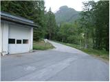 2
2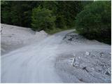 3
3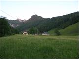 4
4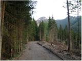 5
5 6
6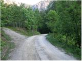 7
7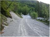 8
8 9
9 10
10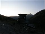 11
11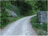 12
12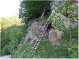 13
13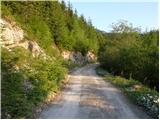 14
14 15
15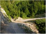 16
16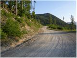 17
17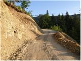 18
18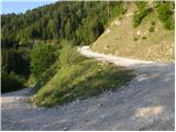 19
19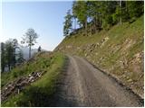 20
20 21
21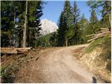 22
22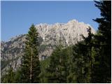 23
23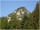 24
24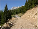 25
25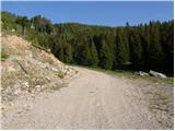 26
26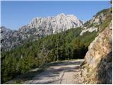 27
27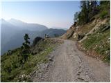 28
28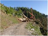 29
29 30
30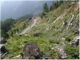 31
31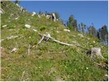 32
32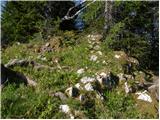 33
33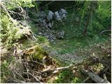 34
34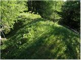 35
35 36
36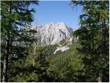 37
37 38
38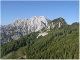 39
39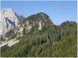 40
40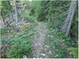 41
41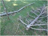 42
42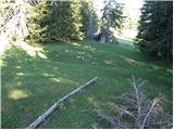 43
43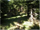 44
44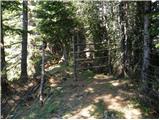 45
45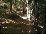 46
46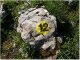 47
47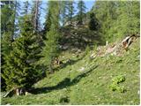 48
48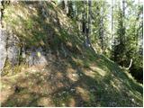 49
49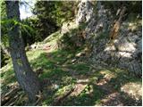 50
50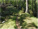 51
51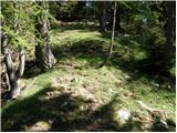 52
52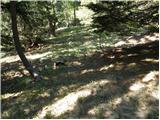 53
53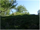 54
54 55
55 56
56
Discussion about the trail Pamschbauer - Weiße Wand (via Sveta peč)