Parking Alpspitzbahn - Alpspitze (Alpspitz Ferrata)
Starting point: Parking Alpspitzbahn (760 m)
| Lat/Lon: | 47,47154°N 11,06208°E |
| |
Name of path: Alpspitz Ferrata
Time of walking: 6 h 15 min
Difficulty: very difficult marked way
Ferata: B
Altitude difference: 1868 m
Altitude difference po putu: 1900 m
Map:
Recommended equipment (summer): helmet, self belay set
Recommended equipment (winter): helmet, self belay set, ice axe, crampons
Views: 4.193
 | 2 people like this post |
Access to the starting point:
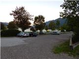
Drive through the Karavanke Tunnel into Austria, then continue to Spittal and on to Lienz (the motorway ends a little after Spittal). We continue along a relatively nice and wide road through the Drava Valley, which leads us into Itali. The road continues past Dobbiaco/Toblach and Brunico/Bruneck. We continue on the main road and then join the motorway towards Austria (direction Brenner, Innsbruck). In Innsbruck, continue on the motorway westwards along the Inn River (direction Garmisch at the motorway junction). The motorway is then shortly exited at the exit for Garmisch. The road then begins to climb towards the Scharnitz Pass where the border between Austria and Germany is located. From the pass, descend to the German side and follow the signs for Garmisch-Partenkirchen. As you pass through this town, follow the signs for Austria and Ehrwald. Just before the end of Garmisch-Partenkirchen, turn left to the "Alpspitze" signs. Follow this road to the large parking lot at the bottom station of the Alpspitze and Kreuzeckbahn cable cars.
Path description:
From the parking lot, head towards the lower station of the Alpspitze cable car, first crossing the railway line and then turning onto the dirt road that runs between the two cable cars. At the beginning of the gravel road you will pass a few houses and along the way you will also see signs indicating the way to the Kreuzeck hut. The road then turns left and starts to climb steeply through the forest. The road continues along the occasional ski slope, from which you can look out towards Garmisch-Partenkirchen and then through the woods again.
Later, the path leads to a wider dirt road, which you follow to the right after the "Kreuzeck" signs. Follow the wide, sloping road for only a short distance, as signs soon direct you left onto a steeper road by the ski resort. Here the path leads past the artificial lake Speichersee and then rejoins the wider road. Walk along the road again for a while and then the signs for Kreuzeck direct you to the right onto a footpath.
Here we then climb in switchbacks through the forest, and soon we come out of the forest again and the view opens up towards the Zugspitze summit. There is a short climb along the ski slope and the trail leads to the Trögelhütte private hut.
At the hut, continue right along a narrow dirt road, which you then leave after a short climb and continue along the footpath. As you continue to climb through the forest, you will also see signs along the way with various verses written on them. Higher up, the path leads to mountain pasture Kreuzalm where you rejoin the dirt road. At mountain pasture, where a fine view opens up towards the top of Alpspitze, continue to the right along the dirt road and you will soon reach the Kreuzeckhaus hut, which is also the top station of the Kreuzeckbahn cable car.
At the crossroads just below the hut, turn left towards mountain pasture Hochalm. From the crossroads, the path descends slightly and leads past a viewpoint with various signposts. Here, first the footpath from the ski jumps in Garmisch-Partenkirchen joins from the left and then the path from Hammersbach joins from the right. We continue along the dirt road, which soon leads to another crossroads.
At the crossroads, continue left along the gravel road to mountain pasture Hochalm, and right up a slightly longer path over the top of Längenfelder also to mountain pasture Hochalm. From the crossroads the road heads south and the Bernadeinsteig trail from the Stuibenhütte hut joins from the left. The road continues to climb slightly and leads to the hut at mountain pasture Hochalm.
At the crossroads at mountain pasture continue slightly left along the road after the "Osterfelderkopf" signs, and to the right is the road to the Längenfelder cable car and a slightly steeper footpath to the top of Osterfelderkopf where the top station of the Alpspitze gondola is also located. From the crossroads, the road begins a slightly steeper climb southwards and leads past the small Bergwachthütte hut. The road becomes more level and soon we have a view of the precipitous north face of the Bernadeinkopf peak, which is also the route of an extremely difficult protected path (difficulty D/E). The level road then leads us to a marked crossroads. First, the path from the Reintal valley and the Bockhütte hut joins us from the left, and shortly afterwards we reach another crossroads. This time, the Schöngänge trail to the Alpspitzee summit branches off to the left, as does the already mentioned extremely difficult protected climbing route to the Bernadeinkopf. At the crossroads, we continue slightly to the right on the dirt road that runs alongside the ski resort. Here we have a very nice view of the north faces of the Bernadeinkopf and Alpspitzee peaks from the path, and there are also a number of signs along the way describing the surroundings in an interesting way. Later, the road turns right and leads through a small notch with a view towards the Osterfelderkopf peak.
The path then turns slightly to the left and then climbs up the grassy slopes towards the summit. A steeper path joins the mountain pasture Hochalm and there is only a short climb to the top of the Osterfelderkopf, where there is also a restaurant Alpspitze and the top stations of the Alpspitzebahn and Hochalmbahn cable cars.
From the Alpspitze restaurant, continue left along the wide, gentle path that crosses the slopes to the south. The path then crosses a fence and briefly continues southwards across the slopes before reaching a marked crossroads.
At the crossroads, we continue left, and to the right the path leads over the Rinderscharte to the Höllental valley. From the crossroads there is first a short climb with the help of a couple of cable cars, and then again a less steep path leads us to the slopes of the Alpspitze peak where there is another crossroads.
To the left leads the slightly easier Nordwandsteig route towards the Alpspitze summit, and we continue to the right towards the protected climbing route where we are directed by the signs "Alpspitze - Ferrata".
The belayed route climbs quite steeply a few times in the initial part, with the help of a number of scrambles (difficulty up to B). After the initial slightly steeper part, the route then leads us to a registration box. The climb continues up a slightly less steep slope, which is still mostly secured by a safety net. Higher up, there are a few short steeper climbs with the aid of crampons, and then the path leads us to the north-west ridge from which we have a fine view of the Zugspitze summit. From the ridge, the path leads to steeper western slopes, which we cross in a gentle ascent to the south. The well protected path then leads to a crossroads just below the Alpspitze peak.
To the right is the more difficult Jubiläumsgrat trail, which follows the ridge towards the Zugspitze summit (difficulty D). At the crossroads, we continue to the left, following the "Alpspitz - Gipfel" signs, and start climbing up using a number of scrambles. From the path, which becomes less steep, we soon see the cross at the top. There is then only a short climb to the top along a ridge with a view.
From the top, descend eastwards along the Ostgrat or Ostflanke trails. At the bottom of the paths, when they merge, you return along the Nordwandsteig to the top station of the Alpspitzbahn gondola.

Pictures:
 1
1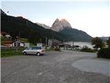 2
2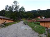 3
3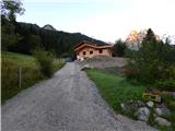 4
4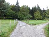 5
5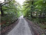 6
6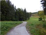 7
7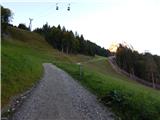 8
8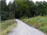 9
9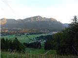 10
10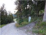 11
11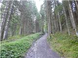 12
12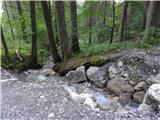 13
13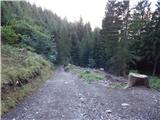 14
14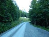 15
15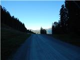 16
16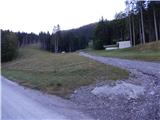 17
17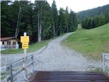 18
18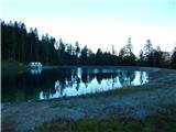 19
19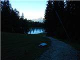 20
20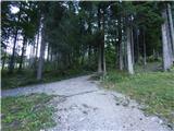 21
21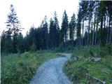 22
22 23
23 24
24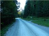 25
25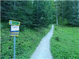 26
26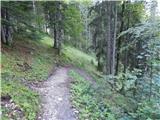 27
27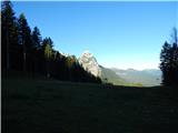 28
28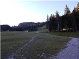 29
29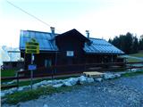 30
30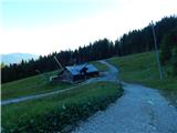 31
31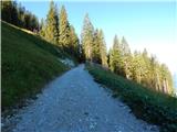 32
32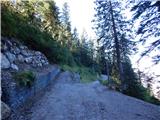 33
33 34
34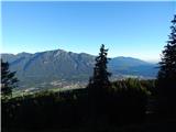 35
35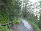 36
36 37
37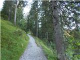 38
38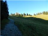 39
39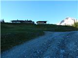 40
40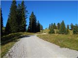 41
41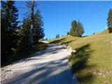 42
42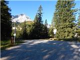 43
43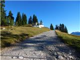 44
44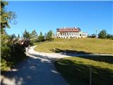 45
45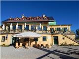 46
46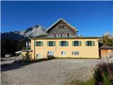 47
47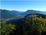 48
48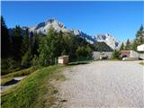 49
49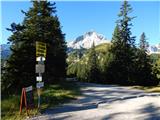 50
50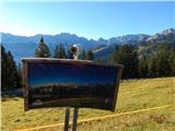 51
51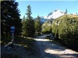 52
52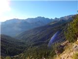 53
53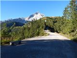 54
54 55
55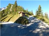 56
56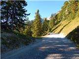 57
57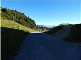 58
58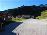 59
59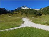 60
60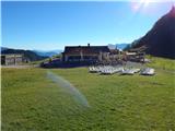 61
61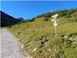 62
62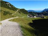 63
63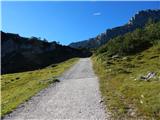 64
64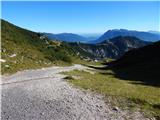 65
65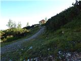 66
66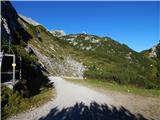 67
67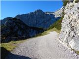 68
68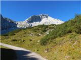 69
69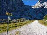 70
70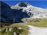 71
71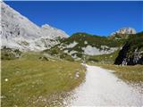 72
72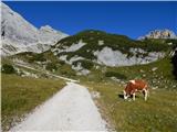 73
73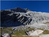 74
74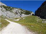 75
75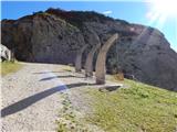 76
76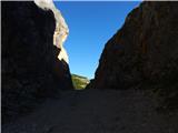 77
77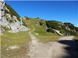 78
78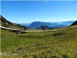 79
79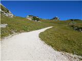 80
80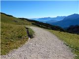 81
81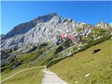 82
82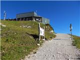 83
83 84
84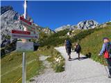 85
85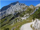 86
86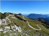 87
87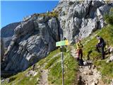 88
88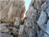 89
89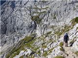 90
90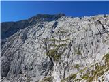 91
91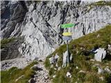 92
92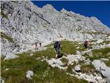 93
93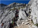 94
94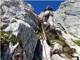 95
95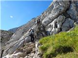 96
96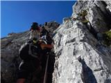 97
97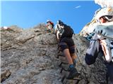 98
98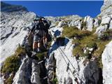 99
99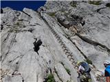 100
100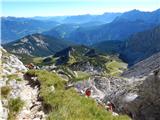 101
101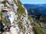 102
102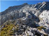 103
103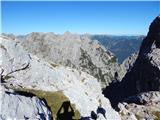 104
104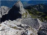 105
105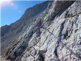 106
106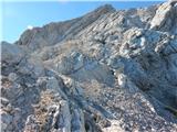 107
107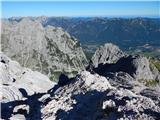 108
108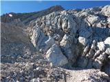 109
109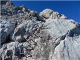 110
110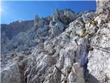 111
111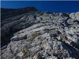 112
112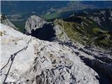 113
113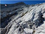 114
114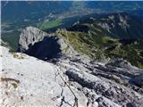 115
115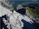 116
116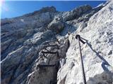 117
117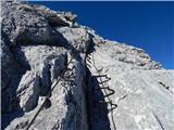 118
118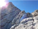 119
119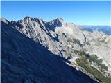 120
120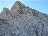 121
121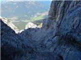 122
122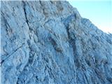 123
123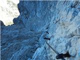 124
124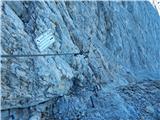 125
125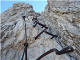 126
126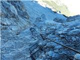 127
127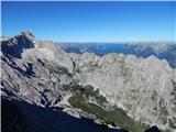 128
128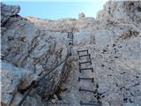 129
129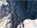 130
130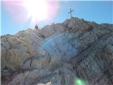 131
131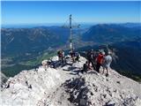 132
132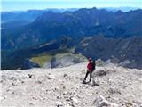 133
133 134
134 135
135
Discussion about the trail Parking Alpspitzbahn - Alpspitze (Alpspitz Ferrata)
|
| VanSims10. 10. 2013 |
Za izkušene ferratarje mala malica, za začetnike pa dober učni poligon saj ni pretežka(B) in vsebuje domala vse feratne elemente(jeklenice, skobe, lestve,...).
Sestopimo lahko po Ostgratu in potem na križišču po Nordwandsteig(levo) ali pa po Schöngänge(desno, malce težje). Sestop po sami ferrati se zaradi nasprotnega prometa odsvetuje.
Do restavracije Alpspitze lahko pridemo z žičnico in si prišparamo čas, po opisani poti pa se lahko po obisku vrha spustimo do parkirišča.
|
|
|
|
| onsight10. 10. 2013 |
Za koliko pa skrajšaš pot, če greš z žičnico do restavracije?
|
|
|
|
| VanSims11. 10. 2013 |
Dve uri je po moje za izkušene, ki se ne samovarujejo oz. morda le na nekaj ključnih mestih v spodnjem delu. Drugače pa ker je ferata praktično vseskozi zavarovana, čas s stopnjo varovanja narašča. Za nekega začetnika, ki se praktično povsod varuje z dvema karabinoma lahko znaša čas tudi tja do 3h.
|
|
|
|
| Kita26. 10. 2013 |
Zelo lepa visokogorska ferata ni kej,bo treba probat sodeč po slikah je so razgledi prečudoviti in tudi pot ni prezahtevna... 
|
|
|
|
| acjom11. 08. 2016 |
Pozdravljeni, v soboto se prvič odpravljamo po omenjeni ferati na vrh Alpspitze. Ali je žičnica v neposredni bližini restavracije Osterfelderkopf, pa je morda komu znana tudi povratna cena vozovnice   hvala
|
|
|