Parking Alpspitzbahn - Kreuzeckhaus
Starting point: Parking Alpspitzbahn (760 m)
| Lat/Lon: | 47,47154°N 11,06208°E |
| |
Time of walking: 3 h
Difficulty: easy marked way
Altitude difference: 892 m
Altitude difference po putu: 892 m
Map:
Recommended equipment (summer):
Recommended equipment (winter):
Views: 1.523
 | 2 people like this post |
Access to the starting point:
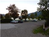
Drive through the Karavanke Tunnel into Austria, then continue to Spittal and on to Lienz (the motorway ends a little after Spittal). We continue along a relatively nice and wide road through the Drava Valley, which leads us into Itali. The road continues past Dobbiaco/Toblach and Brunico/Bruneck. We continue on the main road and then join the motorway to Austria (direction Brenner, Innsbruck). In Innsbruck, continue on the motorway westwards along the Inn River (direction Garmisch at the motorway junction). The motorway is then shortly exited at the exit for Garmisch. The road then begins to climb towards the Scharnitz Pass where the border between Austria and Germany is located. From the pass, descend to the German side and follow the signs for Garmisch-Partenkirchen. As you pass through this town, follow the signs for Austria and Ehrwald. Just before the end of Garmisch-Partenkirchen, turn left to the "Alpspitze" signs. Follow this road to the large parking lot at the bottom station of the Alpspitze and Kreuzeckbahn cable cars.
Path description:
From the parking lot, head towards the lower station of the Alpspitze cable car, first crossing the railway line and then turning onto the dirt road that runs between the two cable cars. At the beginning of the gravel road you will pass a few houses and along the way you will also see signs indicating the way to the Kreuzeck hut. The road then turns left and starts to climb steeply through the forest. The road continues along the occasional ski slope, from which you can look out towards Garmisch-Partenkirchen and then through the woods again.
Later, the road leads to a wider dirt road, which you follow to the right after the "Kreuzeck" signs. Follow the wide, sloping road for only a short distance, as signs soon direct you to the left onto a steeper road by the ski resort. Here the path leads past the artificial lake Speichersee and then rejoins the wider road. Walk along the road again for a while and then the signs for Kreuzeck direct you to the right onto a footpath.
Here we then climb in switchbacks through the woods, and soon we are out of the woods again and the view opens up towards the Zugspitze summit. There is a short climb along the ski slope and the trail leads to the private Trögelhütte hut.
At the hut, continue right along a narrow dirt road, which you then leave after a short climb and continue along a footpath. As you continue to climb through the forest, you will also see signs along the way with various verses written on them. Higher up, the path leads to mountain pasture Kreuzalm where you rejoin the dirt road. At mountain pasture, where a fine view opens up towards the top of Alpspitze, continue to the right along the dirt road and you will soon reach the Kreuzeckhaus hut, which is also the top station of the Kreuzeckbahn cable car.

Pictures:
 1
1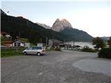 2
2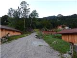 3
3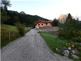 4
4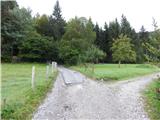 5
5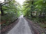 6
6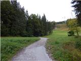 7
7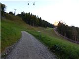 8
8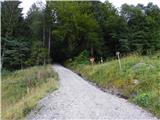 9
9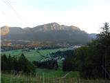 10
10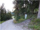 11
11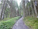 12
12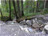 13
13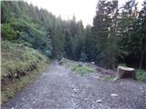 14
14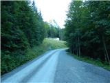 15
15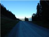 16
16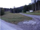 17
17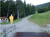 18
18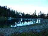 19
19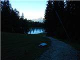 20
20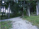 21
21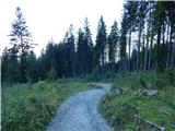 22
22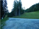 23
23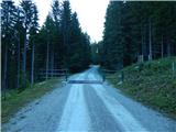 24
24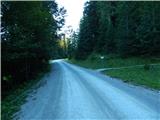 25
25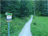 26
26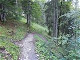 27
27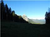 28
28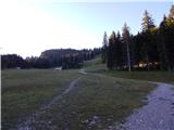 29
29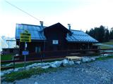 30
30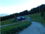 31
31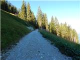 32
32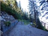 33
33 34
34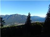 35
35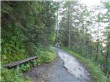 36
36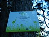 37
37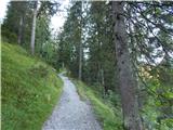 38
38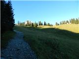 39
39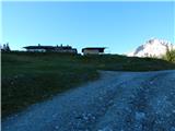 40
40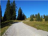 41
41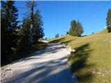 42
42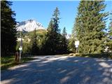 43
43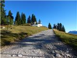 44
44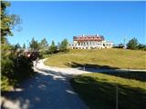 45
45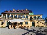 46
46 47
47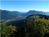 48
48 49
49
Discussion about the trail Parking Alpspitzbahn - Kreuzeckhaus