Parking Rote Wand (Tyrnau) - Rote Wand (via saddle Bucheben)
Starting point: Parking Rote Wand (Tyrnau) (870 m)
| Lat/Lon: | 47,32015°N 15,40887°E |
| |
Name of path: via saddle Bucheben
Time of walking: 2 h
Difficulty: easy marked way
Altitude difference: 635 m
Altitude difference po putu: 645 m
Map: https://www.bergfex.at
Recommended equipment (summer):
Recommended equipment (winter): ice axe, crampons
Views: 672
 | 3 people like this post |
Access to the starting point:
Leave the Maribor-Graz-Salzburg motorway (A9) after a few short tunnels outside Graz and continue right on the expressway in the route Wien-Bruck/Muhr-Peggau.
Then leave the expressway at the Frohnleiten exit and turn right towards Teichalm.
At Gschwendt, leave the main road and follow the road to Tyrnau, where you turn left at the sign "Parkplatz Rote Wand".
The narrow asphalt road leads steeply uphill. After the last houses, it turns to gravel and leads to a large parking lot, where you park.
Path description:
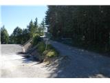
From the parking lot, continue along the dirt road which initially runs parallel to the parking lot.
On the way along the road, you will soon have a nice view of the Rote Wand.
The road climbs slowly up to the Bucheben saddle (1081 m), where you turn right into the forest at the signposts.
Continue on the mountain path through the forest. The path becomes steeper.
Once out of the forest, cross the slope and continue along the edge above the cliff or slightly left along the forest. Here you will have a nice view to the east and south.
The path then leads into the forest for a short distance and after about 200 m you reach the summit.
The path is very well marked and is quite easy. It offers a nice view and the possibility of a circular route via the Tyrnauer Almhütte hut back to the parking lot.
Pictures:
 1
1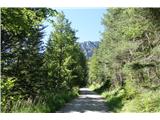 2
2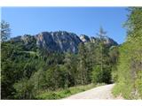 3
3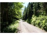 4
4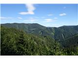 5
5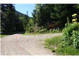 6
6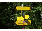 7
7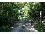 8
8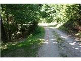 9
9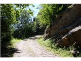 10
10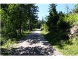 11
11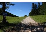 12
12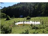 13
13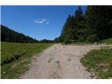 14
14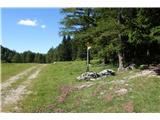 15
15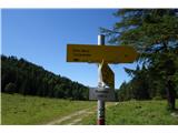 16
16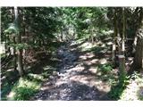 17
17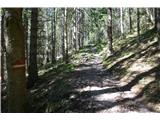 18
18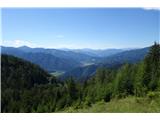 19
19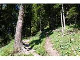 20
20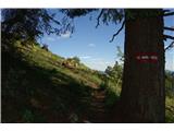 21
21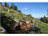 22
22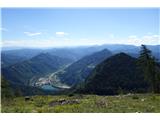 23
23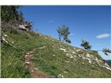 24
24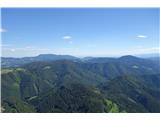 25
25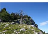 26
26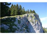 27
27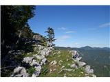 28
28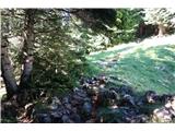 29
29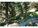 30
30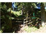 31
31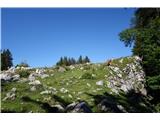 32
32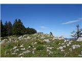 33
33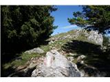 34
34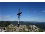 35
35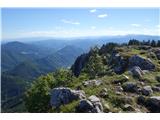 36
36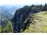 37
37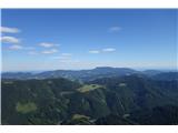 38
38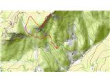 39
39
Discussion about the trail Parking Rote Wand (Tyrnau) - Rote Wand (via saddle Bucheben)