Parkplatz Erichhütte - Erichhütte
Starting point: Parkplatz Erichhütte (1339 m)
| Lat/Lon: | 47,39164°N 13,04879°E |
| |
Time of walking: 30 min
Difficulty: easy marked way
Altitude difference: 206 m
Altitude difference po putu: 206 m
Map:
Recommended equipment (summer):
Recommended equipment (winter):
Views: 2.785
 | 2 people like this post |
Access to the starting point:
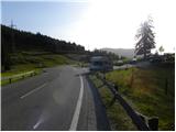
Drive through the Karavanke Tunnel into Austria, then continue along the Tauern motorway. We continue through the Katschberg Tunnel and later the Thuringian Tunnel / Tauerntunnel, and follow the motorway to Salzburg (aka Solnograd) only as far as the exit for Bischofshofen, from where we continue on the four-lane road to the aforementioned town. From Bischofshofen follow the signs for Höchkonig and Dienten am Höchkonig. The road starts to climb and leads to the Dientner sattel. From the saddle, continue for another 100 metres along the road, which begins to descend, and then you will see a parking area on the right-hand side of the road where you park.
Path description:
From the parking lot, follow the signs "Erichhütte 30 min" to the mountain road, which is closed to traffic. The dirt road ascending leads you along pastureland with a fine view of High Tauern and the nearby peaks above the mountain pasture Schönbergalm. The path then leads us through a short lane of forest where we also cross a small stream. The path continues along the pasture again until it reaches hut Erichhütte on the mountain pasture Schönbergalm.
Pictures:
 1
1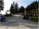 2
2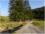 3
3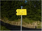 4
4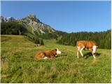 5
5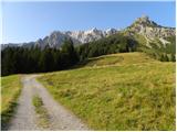 6
6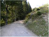 7
7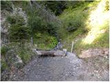 8
8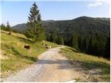 9
9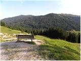 10
10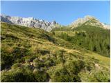 11
11 12
12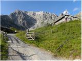 13
13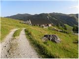 14
14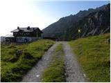 15
15 16
16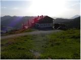 17
17
Discussion about the trail Parkplatz Erichhütte - Erichhütte