Passo Campolongo - Pralongia
Starting point: Passo Campolongo (1860 m)
| Lat/Lon: | 46,5193°N 11,87393°E |
| |
Time of walking: 1 h 40 min
Difficulty: easy marked way
Altitude difference: 249 m
Altitude difference po putu: 310 m
Map: Tabacco 07 1:25.000
Recommended equipment (summer):
Recommended equipment (winter):
Views: 725
 | 1 person likes this post |
Access to the starting point:
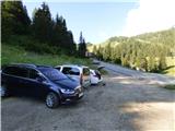
Drive through the Karavanke Tunnel into Austria, then continue to Spittal and on to Lienz (the motorway ends a little after Spittal). We continue along a relatively nice and wide road through the Drava Valley, which leads us into Itali. The road continues past Dobbiaco/Toblach and Brunico/Bruneck. Just after the last-mentioned town, which is passed by a bypass road, we turn left into the Val Badia valley. Continue along the valley past La Vila and Corvara. Then climb up to the Passo Campolongo. A few hundred metres before the pass, you will see a gravel parking area on your left. The parking lot is located behind the Hotel Laguscei, opposite the bus stop. The lower station of the chairlift is also along the road. There is also a smaller parking lot on the right hand side of the road in front of the bus station.
Path description:
From the parking lot at the Laguscei Hotel, take the cart track, which runs to the right under the cable car, and after a few dozen metres you will reach a marked crossroads.
Bear left on the fainter cart track, where you will be directed by the signs for "Inzija, Pralongia". To the right, cart track leads to the top of Cherz. Our route then crosses the ski slope to the left side of the cable car and cart track quickly becomes a track. The path then leads into the woods and down to the left the path branches off towards the Planac parking lot and on towards Corvara. We continue straight on and the path quickly leads out of the forest and onto the ski slope. Here the path climbs steeply up the ski slope for a short distance and then turns left off the ski slope and into the forest again. The trail continues through the forest, from which we occasionally get views of the Puez mountain group. This path soon leads to a crossroads, where another slightly longer path joins from the Passo Campolongo pass on the right.
At the crossroads, continue left and then cross through the forest, heading mainly eastwards. The path then leads out of the forest to a clearing or ski slope where there is a bench and another crossroads.
To the left another path leads down to Corvara, to the right a path leads to the summit of Cherz, and we continue straight on, following the signs "Inzija, Pralongia". The gentle path, which occasionally drops slightly, continues through the forest to the east. Here you will also see a few benches and small wells along the way. Once out of the forest, there is only a short descent and the path leads to the Passo Incisa saddle, where it joins the macadam road. There is also the beautifully decorated La Marmotta hut on the left.
At the marked crossroads in front of the hut, continue straight ahead on the road in the route Pralongia. The road starts to climb quite steeply to the east immediately after the hut. Here the path passes close to the cable car and the Incisa ski slope. Continue along the ascending road from which you can enjoy increasingly beautiful views of the Marmolada, Sella and Puez mountain groups.
A path then branches off to the left slightly downhill towards hut Rifugio Punta Trieste, and we continue up the road. Higher up, the road turns slightly to the left and brings us to another crossroads. To the left is another path towards the aforementioned hut, and we continue slightly to the right and continue climbing towards the top of Pralongia, where we can already see the upper station of the cable car. We then continue along the scenic road all the way to the top of the hut, which is also the Rifugio Pralongia. From here you can also enjoy even better views of the mountains above the Val Badia valley and the Setsas peak.

Pictures:
 1
1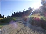 2
2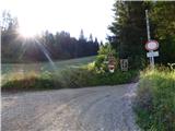 3
3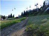 4
4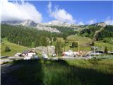 5
5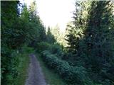 6
6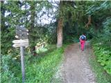 7
7 8
8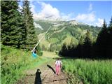 9
9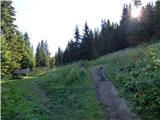 10
10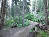 11
11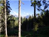 12
12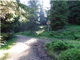 13
13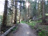 14
14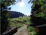 15
15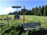 16
16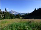 17
17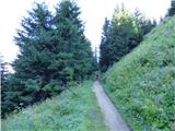 18
18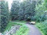 19
19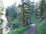 20
20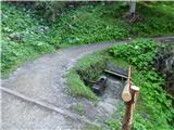 21
21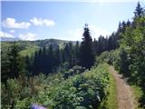 22
22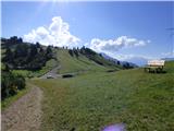 23
23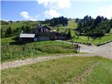 24
24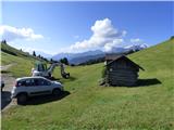 25
25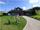 26
26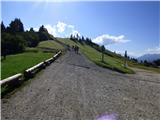 27
27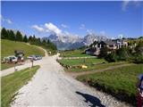 28
28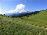 29
29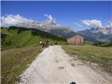 30
30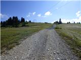 31
31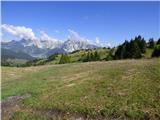 32
32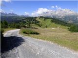 33
33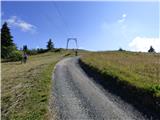 34
34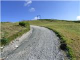 35
35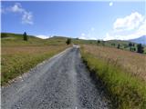 36
36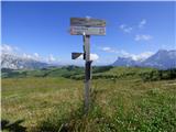 37
37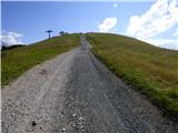 38
38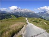 39
39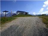 40
40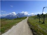 41
41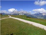 42
42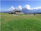 43
43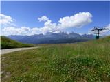 44
44 45
45 46
46
Discussion about the trail Passo Campolongo - Pralongia
|
| Savinja1120. 07. 2024 10:48:11 |
Začnemo lahko tudi levo pri hotelu Monte Cherz, kjer so postavljene table. Do Pralongie lahko pridemo po gozdni poti ali čez travnike mimo koče Cherz. V obeh primerih pridemo do koče Marmotta, od koder nadaljujemo proti Pralongii. V tem času so travniki polni bujnega cvetja, kjer se mešajo alpske in travniške rastline. Izlet lahko podaljšamo še do drugih koč, ki jih vidimo na planoti ali do Setsasa ali Col di Lane ali do planine Cherz. Koča Pralongia nudi tradicionalno hrano za malo višje cene, kot smo jih vajeni pri nas. Je nova in izredno lepo opremljena. Ljudi polno - pohodnikov, kolesarjev, mladih, starih... Ob koči imajo igrala in ogrado s šestimi zajčki. Zato je bilo tudi veliko družin z majhnimi otroki. Ves čas lahko tudi opazujemo gore v okolici. Ob poti sem na manjšem močvirnatem delu prvič videla višjo rastlino z belimi kosmatimi cvetovi, za katero sem ugotovila, da je ozkolistni munec in je pri nas zaščitena. V Sloveniji je še nisem opazila, je pa kot vsaka roža zanimiva in predvsem čedna. Zares sproščen in sproščujoč izlet v prelepem alpskem okolju, ki ti kar ne pusti oditi. Parkiranje je brezplačno, poti so dobro označene.
|
|
|