Passo di Fedaia - Punta Rocca (via ski slope)
Starting point: Passo di Fedaia (2057 m)
| Lat/Lon: | 46,4534°N 11,8889°E |
| |
Name of path: via ski slope
Time of walking: 4 h
Difficulty: partly demanding unmarked way
Altitude difference: 1193 m
Altitude difference po putu: 1200 m
Map: Tabacco 07 1:25.000
Recommended equipment (summer): ice axe, crampons
Recommended equipment (winter): ice axe, crampons
Views: 8.608
 | 2 people like this post |
Access to the starting point:
First, drive to Cortina d'Ampezzo (you can get here via Border crossing Rateče or Predel to Trbiž / Tarvisio and then take the motorway towards Udine to the Tolmezzo exit. From Tolmezzo, follow the road towards Ampezzo and the Passo della Mauria mountain pass. The road then descends and leads to a crossroads where you turn left (possibly right) towards Cortina d'Ampezzo. At all subsequent junctions, follow the signs for Cortina d'Ampezzo and then follow the signs for the Passo di Falzarego Alpine Pass. In the first part of the ascent towards the Falzarego Pass, you will reach a crossroads where the signs for Passo di Giau (2233 m) and Marmolado point to the left. After the Giau Pass, the road starts to descend and we follow it through the settlements in the lower part towards Marmolada or Passo di Fedaia. The road then starts to climb again and leads us higher up to the Fedaia Pass, where we park in the parking lot of the Rifugio Fedaia hut.
Access from Primorska: Take the motorway towards Padua, but only as far as the motorway junction, where you continue towards Veneto and Belluno. Near Belluno, the motorway ends and we follow the road towards Belluno, where we turn right at a major junction towards Agordo. From there, follow the frequent signs for Marmolada or Passo di Fedaia. When you reach the pass, park in the parking lot of the Rifugio Fedaia hut.
Path description:
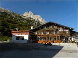
From the parking lot at the cottage, turn left onto the macadam road (transport-rescue road), which runs alongside the cable car. The road climbs up the ski slope below the slopes of the Sass del Mul peak and soon opens up to a beautiful view of Lake Fedaia. Continue along the road as it climbs up the valley between the Punta Serauta and Sas da les Unesc peaks. After the ski slope, the road then turns slightly left under the slopes of the Punta Serauta peak. Continue along the road for a while, which climbs near the cable car, and then the road soon ends.
At the end of the road, continue left towards the precipitous cliffs of Punta Serauta. The path is not very visible at this point, but the ascent is not difficult as the slope is still relatively gentle. There is a slightly steeper climb up the left side of the valley, which leads to the start of the glacier.
Here, equip yourself with a snowshoe and ice skis and continue your ascent on the ski slope. We then continue for some time up the ski slope on the left side of the valley towards the Serauta saddle, where there is an intermediate station for the gondola lift. When you get close to the saddle, you will see a tunnel on the left leading from the ski slope to the Rifugio Serauta hut.
We continue straight along the ski slope, and to the left through the tunnel it is only a few minutes' easy walk to the hut. We continue up the right-hand side of the ski slope, as there are several glacial crevasses on the slopes to the left of the ski slope. In the last part of the ascent, you will also cross a glacial crevasse as you ascend the right edge of the ski slope. If the ski slope is not groomed, it is necessary to walk in a bundle because of the crevasses.
After crossing the glacial crevasse, there is only a short climb to the top station of the gondola.

Pictures:
 1
1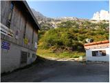 2
2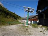 3
3 4
4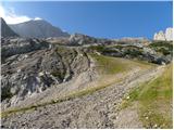 5
5 6
6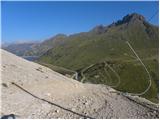 7
7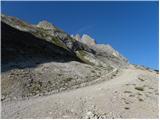 8
8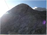 9
9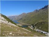 10
10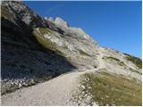 11
11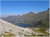 12
12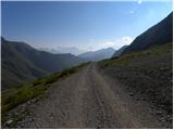 13
13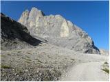 14
14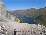 15
15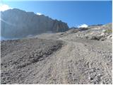 16
16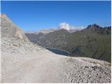 17
17 18
18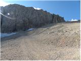 19
19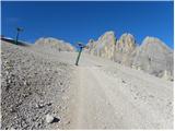 20
20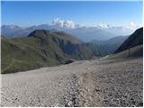 21
21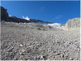 22
22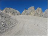 23
23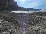 24
24 25
25 26
26 27
27 28
28 29
29 30
30 31
31 32
32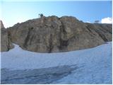 33
33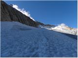 34
34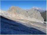 35
35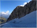 36
36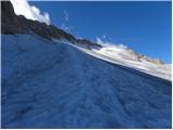 37
37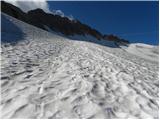 38
38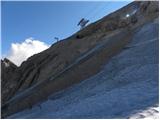 39
39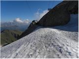 40
40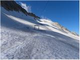 41
41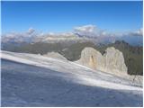 42
42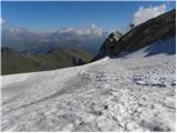 43
43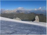 44
44 45
45 46
46 47
47 48
48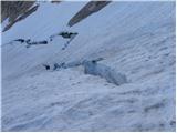 49
49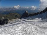 50
50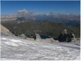 51
51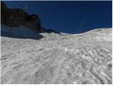 52
52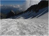 53
53 54
54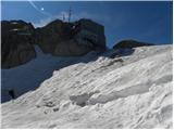 55
55 56
56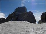 57
57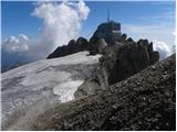 58
58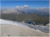 59
59 60
60 61
61
Discussion about the trail Passo di Fedaia - Punta Rocca (via ski slope)
|
| namor22. 05. 2012 |
koliko stane žičnica in od kje pelje.LP. 
|
|
|
|
| jedriličar3. 05. 2012 |
Žičara (prastara sedežnica) ti ide od rif. Pso Fedaia (kad se penješ iz Malga Ciapele, prije jezera imaš parking na Pso Fedaia) i ona te popne na cca 2.600 m (možda koji metar više). Ne znam koliko dođe, ali recimo da je otprilike kao susjedna žičara za na Pta. Peniu (rif. Fiancon), a to je 6-7 EUR za gore ili 9-10 EUR tamo-natrag. Nisamo koristio tu žičaru, išao sam pješice gore, ali cijene moraju biti tu negdje.
|
|
|
|
| Dr.19. 08. 2013 |
Žičnico so podrli in gradijo novo. Lahko pa se zapelješ na drugo stran jezera, odkoder vozi žičnica do Rifugio Padon (200 m stran je zgornja postaja). Cena vozovnice v l. 2013 je 9 €.
|
|
|
|
| jedriličar19. 08. 2013 |
Znači, zdaj pa je možno samo peš do rif. Fiancon ?
|
|
|
|
| mirank19. 08. 2013 |
DR., mislim da je tema Marmolada ne pa nasproti ležeče pobočje ki z Marmolado nima veze (lep pogled je izuzet). Sicer pa hvala za koristno informacijo o žičnici.
|
|
|
|
| jedriličar9. 09. 2013 |
Za vikend smo bili v Dolomitima, na Marmoladi. V soboto smo se vzpeli do koče Pian dei Fiacconi, kar smo imali namen v nedeljo po ferrati Cresta Ovest na Pta Peniu, pa smo se v soboto popoldan mi dva namenili na Punta Rocu (3.305 m), ki je levi vrh na grebenu Marmolade. Za razliko od opisane poti, mi dva sva se odločila po ledeniku naravno gor. Žal pa se je vreme tokom vzpona poslabšalo, pa smo mal spremenili plan in se popeli samo do najgornje (tretje) postaje gondolske žičare, in od tam na prvi dostopan vrh (ni ga na karti). Sestopili smo prvo po smučišču, pa potem obrnili na levo in naravno dol do koče Pian dei Fiacconi. Pa nekaj slikc ...
|
|
|