Passo Gardena - Sas Ciampac
Starting point: Passo Gardena (2121 m)
| Lat/Lon: | 46,54984°N 11,80847°E |
| |
Time of walking: 2 h
Difficulty: easy marked way
Altitude difference: 551 m
Altitude difference po putu: 600 m
Map: Tabacco 07 1:25.000
Recommended equipment (summer):
Recommended equipment (winter): ice axe, crampons
Views: 5.761
 | 3 people like this post |
Access to the starting point:
a) From Kranjska Gora via the Koren saddle to Austria, where at the first major junction continue left towards Podkloštro / Arnoldstein and Trbiz / Tarvisio. At the end of Podklošter, signs for Šmohor / Hermagor direct you to the right on the regional road, which takes you past the town to the end of the Ziljska Valley, or more precisely to Kötschach-Mauthen, where you turn right towards Oberdrauburg. The road continues over the Gailbergsattel Alpine pass (982 m), after which you descend into the above-mentioned town. After crossing a bridge over the River Drava, turn left towards Lienz. At the main roundabout in Lienz, turn left towards Sillian and Itali. Next we cross the national border between Austria and Itali, and we follow the main road past Dobbiaco / Toblach, Villabassa / Niederdorf, Monguelfo - Tesido / Welsberg - Taisten, Brunico / Bruneck. Just after the last mentioned town, which is passed by a bypass road, we turn left into the Alta Badia valley. Continue along the valley and turn right at La Villa towards Passo Gardena. Continue along the ascending road until you reach the Passo Gardena Pass, where you park in the pay parking area (4€ - June 2012).
b) From Nova Gorica, drive into Itali and follow the motorway to Portogruaro, where at the motorway junction turn towards Belluno. Follow the motorway to its end (do not turn towards Belluno) and then continue driving towards Cortina d'Ampezzo. When you arrive in Cortina d'Ampezzo, follow the signs for the Passo Falzarego Alpine Pass. At the Passo Falzarego (2105 m), turn right towards Alta Badia and ascend the neighbouring Passo Valparola (2192 m) before descending into the valley. At La Villa, turn left towards Passo Gardena. Follow the ascending road until you reach the Passo Gardena Pass, where you park in the pay parking area (4€ - June 2012).
Path description:
From the Passo Gardena pass, head north on the footpath past the "Baita Jimmy Hütte" signs. The path leads you along grassy slopes with magnificent views of the Sella mountain range to the south and Sassolungo to the west. The path along the grassy slopes soon leads to the road. Continue right along the dirt road, which you follow until you reach the Jimmy Hütte hut.
From the hut, follow the footpath north-eastwards and start climbing through dwarf pines. The path soon leads us out of dwarf pines and continues to climb relatively steeply. Higher up, the path then turns to the left and is followed by a climb up to the Forcella Cier notch, where we get a view to the north.
Cross the fence at the saddle and then cross the scree in a gentle descent. This path then leads to a marked crossroads where the Val de Chedul trail joins from the left.
From the crossroads, the path climbs gently again and continues to cross the slopes to the north-east. Later, the path turns slightly to the left and there is a slightly steeper climb to the Forcella de Crespeina notch
At the notch, where a view of most of the Puez mountain group opens up, continue to the right, following the "Variante Sas Ciampac" signs. The path then crosses the scree below the slopes of the Col Toronn. As you approach the ridge, the path turns left and then climbs towards the summit of Sas Ciampac. Just below the summit, the view opens up again towards the summit of Piz Boe. The last part of the climb is a short ascent up a rocky slope to the summit.

Pictures:
 1
1 2
2 3
3 4
4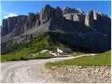 5
5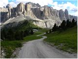 6
6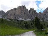 7
7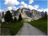 8
8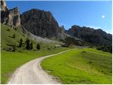 9
9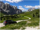 10
10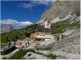 11
11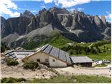 12
12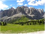 13
13 14
14 15
15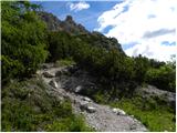 16
16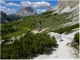 17
17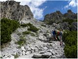 18
18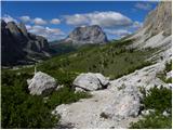 19
19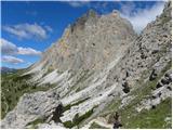 20
20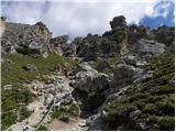 21
21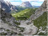 22
22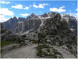 23
23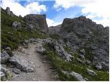 24
24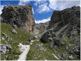 25
25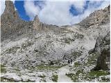 26
26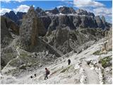 27
27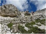 28
28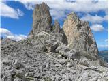 29
29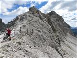 30
30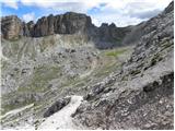 31
31 32
32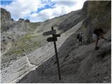 33
33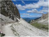 34
34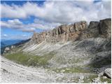 35
35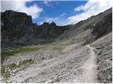 36
36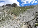 37
37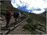 38
38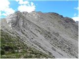 39
39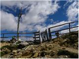 40
40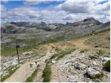 41
41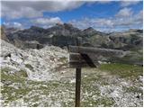 42
42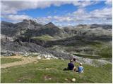 43
43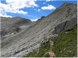 44
44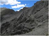 45
45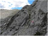 46
46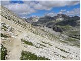 47
47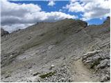 48
48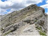 49
49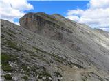 50
50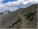 51
51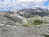 52
52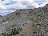 53
53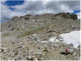 54
54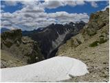 55
55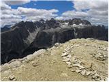 56
56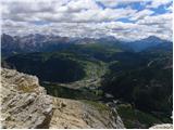 57
57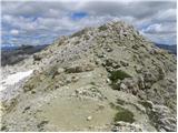 58
58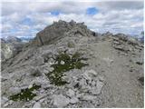 59
59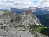 60
60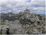 61
61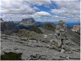 62
62
Discussion about the trail Passo Gardena - Sas Ciampac
|
| Irina15. 07. 2012 |
Dobrodošlo bi bilo, če bi za izlete v tujino ob opisu poti dodali še kilometrino in približen čas vožnje. Recimo od mejnega prehoda so cilja.
|
|
|
|
| Kriška16. 07. 2012 |
Se strinjam. To sem tudi jaz že pred nekaj časa predlagala, pa očitno ideja ni padla na plodna tla.
|
|
|
|
| Loni16. 07. 2012 |
Iz Ljubljane je do Cortine (varianta čez Fernetiče) slabe 4 ure vožnje (s postanki vred), za orientacijo.
|
|
|
|
| čemšeničan16. 07. 2012 |
Ko berem te komentarje sem se odločil, da vam napišem bol podrobno o času vožnje v te kraje ki sem jih obiskal 30.6.2012. Iz Čemšenika odhod ob 4.00 zjutraj,kava na OMV Radovljica v Lienzu ob 7.50 postanek 30 min. v Sillean 8.30,Dobbiaco 8.45, nato preko Brunech 9.20,Alta Badia 10.00 na Pas.Gardena 11.00.
Če pa kdo želi še kaj več pa naj mi pošlje zasebno sporočilo. Lep pozdrav in srečno.
|
|
|
|
| tanja30716. 07. 2012 |
Uf,obudil si mi prelepe spomine na lanskoletni vzpon na ta hrib iz Cortine,naslednji dan pa smo prekolesarili štiri prelaze na Sellaronda bike day-u...fantazija 
|
|
|
|
| mirank16. 07. 2012 |
Običajno napišem koliko km je do izhodišča v tem koncu, tako tudi zadnjič, da je do Sextna (parking v dolini naprej od MOOSa)iz Vrtojbe 180km-vožnje cca 2,5h preko Sappade. Casera Razzo je cca 140km iz obeh smeri, če se prav spomnim, sicer pa ViaMichelin je zakon za določanje razdalje po cesti, časi so bolj tako, odvisno od ure starta. Najtopleje odsvetujem pot skozi Agordo po 7h vse dni v tednu.
|
|
|
|
| kolesarkaM16. 07. 2012 |
Večno lepi Dolomiti, na smučeh, s kolesom ali peš. Res lepe fotke, ki te kar prestavijo v drug svet.
|
|
|
|
| ljubitelj gora16. 07. 2012 |
Vrjamem vam, da je tudi tam lepo, ampak najlepše je pa v domačih gorah.
|
|
|
|
| čemšeničan13. 08. 2012 |
Pozdravljeni !
V soboto 18.8.2012 je organiziran ponovni izlet z avtobusom po Dolomitih. Odhod iz Trojan ob 4.uri zjutraj preko Jesenic do Lienza v Dobbiacho, Alta Badia preko prelazov Pas. Gardena,Pas.Sella,Pas.Gardena, Pas.Falzarego v Cortina di Ampezo mimo jezera Misurina.
Če bi kdo rad šel z nami naj pokliče mot. 040 909 878 Marjan
|
|
|