Passo Sella - Sassopiatto / Plattkofel
Starting point: Passo Sella (2183 m)
| Lat/Lon: | 46,50822°N 11,75825°E |
| |
Time of walking: 5 h 10 min
Difficulty: easy marked way
Altitude difference: 786 m
Altitude difference po putu: 970 m
Map: Tabacco 05 1:25.000
Recommended equipment (summer):
Recommended equipment (winter): ice axe, crampons
Views: 5.895
 | 2 people like this post |
Access to the starting point:
From Kranjska Gora via the Koren saddle to Austria, where at the first major junction continue left towards Podkloštro / Arnoldstein and Trbiz / Tarvisio. At the end of Podklošter, signs for Šmohor / Hermagor direct you to the right on the regional road, which takes you past the town to the end of the Ziljska valley, or more precisely to Kötschach-Mauthen, where you turn right towards Oberdrauburg. The road continues over the Gailbergsattel Alpine pass (982 m), after which you descend into the above-mentioned town. After crossing a bridge over the River Drava, turn left towards Lienz. At the main roundabout in Lienz, turn left towards Sillian and Itali. Next we cross the national border between Austria and Itali, and we follow the main road past Dobbiaco / Toblach, Villabassa / Niederdorf, Monguelfo - Tesido / Welsberg - Taisten, Brunico / Bruneck. Just after the last mentioned town, which is passed by a bypass road, we turn left into the Alta Badia valley. Continue along the valley and turn right at La Villa towards Passo Gardena. Continue along the ascending road, following the signs for Passo Gardena. From the Passo Gardena pass, descend to the other side and then continue left towards the Passo Sella pass. At the Sella Pass, park at the Rifugio Passo Sella hut or at one of the smaller car parks along the road. The parking at the hut is chargeable (July 2012 - 4€).
Path description:
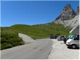
From the Rifugio Passo Sella, continue along the main road to a crossroads where a narrower road branches off to the right up towards the Rifugio Carlo Valentini. There is also a small parking lot at the crossroads. Take the road mentioned above and start climbing up the initially still asphalted road. The road leads past the aforementioned Carlo Valentini hut, then the asphalt ends and you continue slightly right along a dirt road, following the signs "Sasso Piatto Plattkofel".
From the road, which runs along the grassy slopes, we have a fine view, especially towards the Sella and Marmolada groups, but occasionally we also have a view towards the summit of Sassolungo. The road continues to climb southwards and leads past hut Rifugio Salei and then past hut Chalet Margherita to the notch Forcela Rodela, which is located below the slopes of the summit of Col Rodela. At the notch where there is a crossroads, turn right and follow the sloping road to the Rifugio Friedrich August.
From the hut continue along the road for a few dozen metres, then the road ends and you continue on the footpath past the signs "Rif. Sasso Piato". The path first descends gently and then crosses grassy slopes to the west. The path then crosses a stream and leads to the foot of the slopes of Sasso Levante. Here we also start to get better and better views towards the Catinaccio mountain group. The path continues westwards across the slopes and then leads to the Rifugio Sandro Pertini hut.
From the hut, follow the signs "Rif. Sasso Piatto" and continue to cross the slopes to the west in gentle ascents and descents. The path called Sentiero Friedrich August later leads to an undistinguished saddle with a view towards the Sasso Piatto hut.
The path then gently descends again and leads to even steeper slopes. Here we are also helped by a cable car, but the path is still relatively easy and does not cause any problems. Shortly afterwards, we reach a crossroads where a path branches off to the left down towards mountain pasture Malga del Sasso Piatto, an unmarked shortcut branches off to the right up towards the summit of Sasso Piatto, and we continue straight ahead along the wide path towards the Rifugio Sasso Piatto hut. From the crossroads, the path continues in a gentle downhill slope crosses the slopes to the west and soon leads us to the huts.
At the hut, continue right uphill following the signs "Plattkofel, Sasso Piatto". The beautifully maintained path leads over grassy slopes and then climbs slightly more steeply. Later, the grassy slopes give way to scree and there is a long climb up the western slopes of the mountain. The trail runs slightly to the right and climbs quite steeply throughout. This path leads to the main ridge, which is reached slightly to the right (south-east) of the summit.
On the ridge the path turns left and soon the Via Ferrata Oskar Schuster climbing route joins from the right. From here it is only a short climb along the ridge to the summit.

Pictures:
 1
1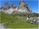 2
2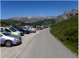 3
3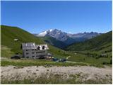 4
4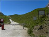 5
5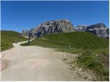 6
6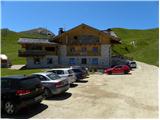 7
7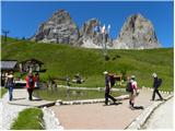 8
8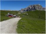 9
9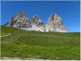 10
10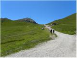 11
11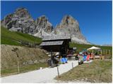 12
12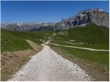 13
13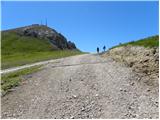 14
14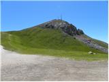 15
15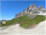 16
16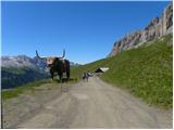 17
17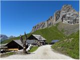 18
18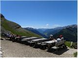 19
19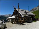 20
20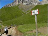 21
21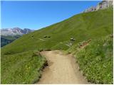 22
22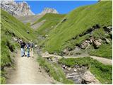 23
23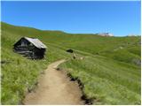 24
24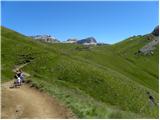 25
25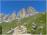 26
26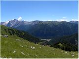 27
27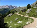 28
28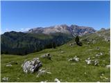 29
29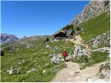 30
30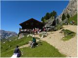 31
31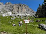 32
32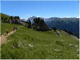 33
33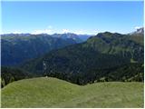 34
34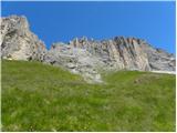 35
35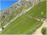 36
36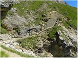 37
37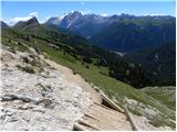 38
38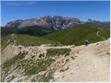 39
39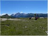 40
40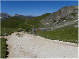 41
41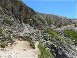 42
42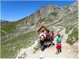 43
43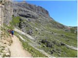 44
44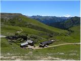 45
45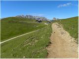 46
46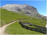 47
47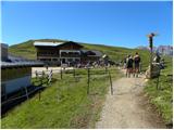 48
48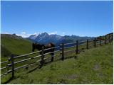 49
49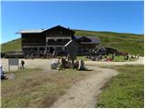 50
50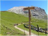 51
51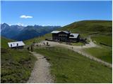 52
52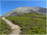 53
53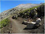 54
54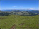 55
55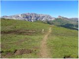 56
56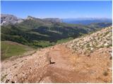 57
57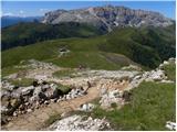 58
58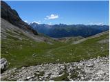 59
59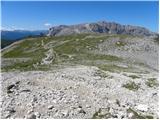 60
60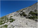 61
61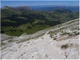 62
62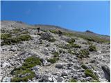 63
63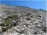 64
64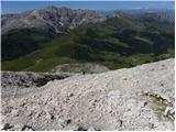 65
65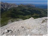 66
66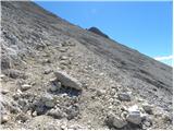 67
67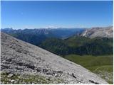 68
68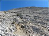 69
69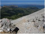 70
70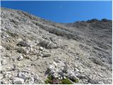 71
71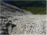 72
72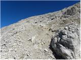 73
73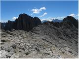 74
74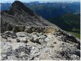 75
75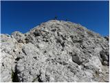 76
76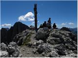 77
77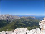 78
78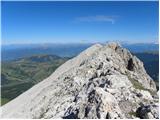 79
79 80
80
Discussion about the trail Passo Sella - Sassopiatto / Plattkofel