Passo Tre Croci - Rifugio Guido Lorenzi
Starting point: Passo Tre Croci (1805 m)
| Lat/Lon: | 46,5568°N 12,202°E |
| |
Time of walking: 3 h
Difficulty: easy marked way
Altitude difference: 1195 m
Altitude difference po putu: 1230 m
Map: Tabacco 03 1:25.000
Recommended equipment (summer):
Recommended equipment (winter):
Views: 11.668
 | 3 people like this post |
Access to the starting point:
Via Border crossing Rateče or Predel to Trbiž / Tarvisio and then follow the motorway towards Udine to the Tolmezzo exit. From Tolmezzo, follow the road towards Ampezzo and the Passo della Mauria mountain pass. The road then descends and leads to a crossroads where you turn right towards Auronzo. Follow the signs for the Tre Croci Pass.
Path description:
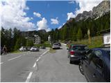
From the Tre Croci pass, turn right onto the narrow, initially asphalted road (route 203). There are also signs at the beginning of the road directing you to the road. The tarmac ends quickly and you continue past the barrier and start climbing up the dirt road, which is closed to traffic. The road through the forest then soon leads to a crossroads where a path branches off to the right towards the Forcella del Cristallo notch, and we continue along the forest road. When we emerge from the forest, we are joined on the left by a path from the parking lot at the Monte Cristallo ski resort. We continue up the road for a while and then signs point us to the right onto a footpath.
The path starts to climb a little steeper and the views of the surrounding peaks start to get better and better. The path continues to ascend, crossing the slopes to the north-west and passing mostly along the rare dwarf pines. Higher up, the path leads to the Sonforcia saddle where it rejoins the dirt road.
At the saddle, continue right along the road, which you then follow all the way to the Son Forca hut.
From the hut, continue towards the cable car. Signposts at the bottom of the cable car station will then direct you to the ski slope below the cable car. The trail continues along the ski slope below the cable car and starts to climb quite steeply. In the last part, the path climbs up a steep scree slope, which leads to the top station of the cable car. From here, it's just a walk to the hut.

Pictures:
 1
1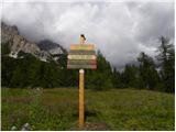 2
2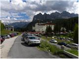 3
3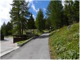 4
4 5
5 6
6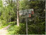 7
7 8
8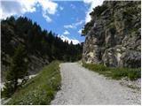 9
9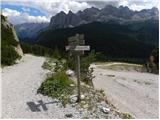 10
10 11
11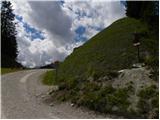 12
12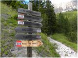 13
13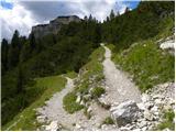 14
14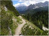 15
15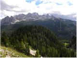 16
16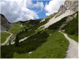 17
17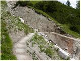 18
18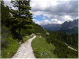 19
19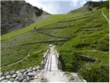 20
20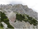 21
21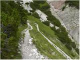 22
22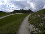 23
23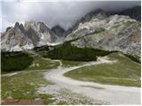 24
24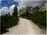 25
25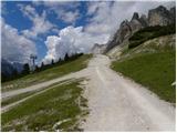 26
26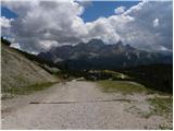 27
27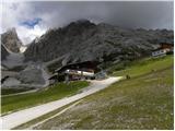 28
28 29
29 30
30 31
31 32
32 33
33 34
34 35
35 36
36 37
37 38
38 39
39 40
40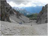 41
41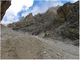 42
42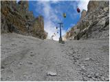 43
43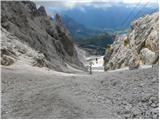 44
44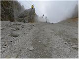 45
45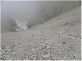 46
46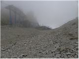 47
47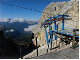 48
48 49
49 50
50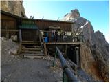 51
51 52
52 53
53
Discussion about the trail Passo Tre Croci - Rifugio Guido Lorenzi
|
| mirank19. 10. 2019 |
Koča je že kaka 3 leta stalno zaprta in vidno propada, kar na višini 3000m ni nič čudnega. Na steni je napis da stopaš na teraso na lastno odgovornost in dejansko je treba malo paziti kam stopaš (luknje v podu).
|
|
|
|
| Trobec1. 08. 2021 15:43:54 |
Pogled na objekte (kočo in žičnico) je precej žalosten...les je ponekod res že precej gnil. Pa še zanimivost, na koči sicer piše 3000m...a ji v resnici do te višine manjka še krepkih 60m. Že pogled na Cristallino jasno pove, da do tam ni samo 8m 
|
|
|
|
| felix6. 08. 2021 16:27:25 |
Kako je s pogoji za prenočevanje v Italiji (mislim na covid)?
|
|
|