Passo Valparola - Lagazuoi Piccolo
Starting point: Passo Valparola (2131 m)
| Lat/Lon: | 46,5342°N 11,9896°E |
| |
Time of walking: 2 h 45 min
Difficulty: easy marked way
Altitude difference: 647 m
Altitude difference po putu: 700 m
Map: Tabacco 03 1:25.000
Recommended equipment (summer):
Recommended equipment (winter): ice axe, crampons
Views: 4.645
 | 2 people like this post |
Access to the starting point:
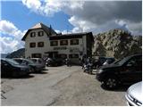
First, drive to Cortina d'Ampezzo (you can get here via Border crossing Rateče or Predel to Trbiž / Tarvisio and then take the motorway towards Udine to the Tolmezzo exit. From Tolmezzo, follow the road towards Ampezzo and the Passo della Mauria mountain pass. The road then descends and leads to a crossroads where you turn left (possibly right) towards Cortina d'Ampezzo. At all subsequent junctions, follow the signs for Cortina d'Ampezzo. Or from the Primorska side, take the motorway towards Trieste. Continue on the Italian motorway towards Padua, but only as far as the motorway junction where you continue towards Veneto and Belluno. Near Belluno, the motorway ends and we continue towards Cortina d'Ampezzo at the next junctions and then follow the signs for the Passo di Falzarego Alpine pass. Follow this ascending road to the pass and then turn right towards Passo Valparola. From the Passo Valparola pass, descend to the first left-hand bend where an old road, closed to traffic, branches off to the right. There is also a small parking lot here.
Path description:
From the parking lot, follow the old road past the signs for route 20a and start descending gently. Soon you will come to signs pointing right up the road. Continue in gentle ascents and descents, crossing the slopes to the north. This route, which mostly follows the rare dwarf pines, then leads to a marked crossroads. We continue straight on along route 20a, following the signs "Salares - Lagazuoi", and the path to the left leads down towards San Ciascian. Along the way, you will also see a signpost indicating the entrance to the Fanes Sennes Braies Nature Park. The path then begins to climb up a steep slope in switchbacks until you reach the Forcella de Salares notch.
At the notch where the crossroads are, continue right along route 20a, following the Lagazuoi signs. Continue ascending gently southeastwards for a long time below the slopes of Spinarac Peak (2532m). Soon we start to get beautiful views also to the east where the Cresta di Fanes ridge stands out. The trail continues south-eastwards and leaves the Fanes Sennes Braies Nature Park and later leads to a marked crossroads.
To the left the path leads to the Chiesa bivouac, and we continue straight on following the signs "Rif. Lagazuoi" and start climbing up towards the Forcella Lagazuoi notch. At the notch, continue right towards the Lagazuoi hut. The path ahead begins to climb moderately in switchbacks up a relatively steep slope, along which you can see a number of remains from the First World War. The path leads us higher up to the top station of the cable car and, just a few metres after that, to the Lagazuoi mountain hut.
From the hut, we continue along the well-trodden path, which soon leads us along the summit ridge to an expansive and scenic peak.

Pictures:
 1
1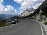 2
2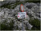 3
3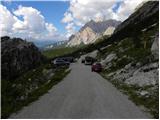 4
4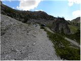 5
5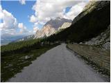 6
6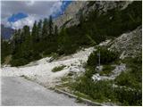 7
7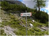 8
8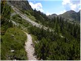 9
9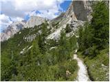 10
10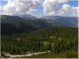 11
11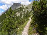 12
12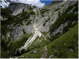 13
13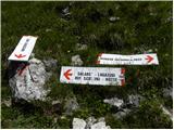 14
14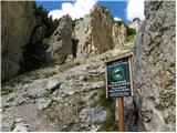 15
15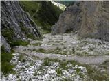 16
16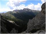 17
17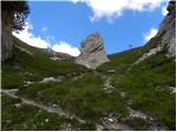 18
18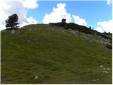 19
19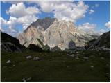 20
20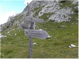 21
21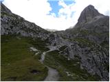 22
22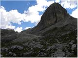 23
23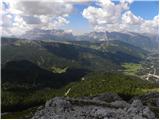 24
24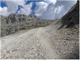 25
25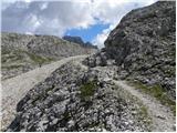 26
26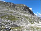 27
27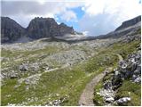 28
28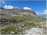 29
29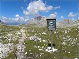 30
30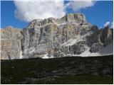 31
31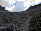 32
32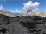 33
33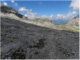 34
34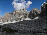 35
35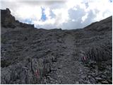 36
36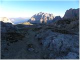 37
37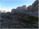 38
38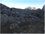 39
39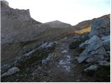 40
40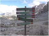 41
41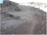 42
42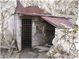 43
43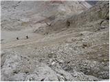 44
44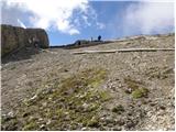 45
45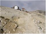 46
46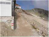 47
47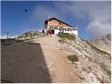 48
48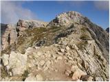 49
49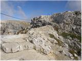 50
50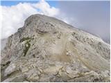 51
51 52
52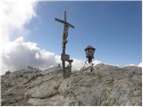 53
53
Discussion about the trail Passo Valparola - Lagazuoi Piccolo
|
| chazhmy23. 08. 2018 |
Pred nekaj dnevi prehodil pot v obratni smeri. Na vrhu je bilo precej ljudi, ampak ni pretirane gneče, saj je pot široka (na vrhu je bil tudi nekdo z invalidskim vozičkom). Od Forcela Lagazuoi do Forcela de Salares pa je pot res uživaška in precej neobljudena ter zelo dobro označena.
Če kdo želi podaljšat pot, gre lahko od F. de Salares (oz. F. Lagazuoi, če greš v obratni smeri) mimo koče Rif. Scotoni in jezera Lagazuoi, kar nanese še dodatnih cca. 200 višinskih metrov.
|
|
|
|
| Robie30. 06. 2025 08:50:05 |
Priporočam "ferato" Kaiserjager za vzpon in povratek skozi galerijo. Na ta način se izogne gneči in delno tudi vročini.
|
|
|
|
| mirank30. 06. 2025 11:34:11 |
No jaz pa močno priporočam vzpon skozi galerijo in sestop po Kaiserjager poti, ki ni tako zahtevna. Je pač lepo zavarovana pot, in če boste dovolj zgodnji bo zaradi jugozahodne lege tudi malo sence. V galeriji sestopat s čelko čez tiste polmetrske zglajene stopnice ni noben užitek s tem, da ti nasproti rine množica ljudi. Priporočam začetek ture najkasneje ob 8h.
|
|
|