Petačev graben - Sveta Jedert
Starting point: Petačev graben (460 m)
| Lat/Lon: | 46,0923°N 14,2887°E |
| |
Time of walking: 1 h
Difficulty: easy marked way
Altitude difference: 290 m
Altitude difference po putu: 300 m
Map: Ljubljana - okolica 1:50.000
Recommended equipment (summer):
Recommended equipment (winter):
Views: 9.061
 | 1 person likes this post |
Access to the starting point:
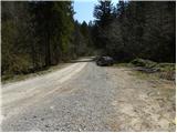
From Horjul or Dobrova, drive to Polhov Gradec, then continue to Črnji Vrho. A little above Polhovi Gradec, at the junction at the confluence of the Mala and Velika Bozna rivers, continue straight on in the direction of Sela and Škofja Loka (on the left Črni Vrh). Continue along the Mala Božna stream and then you will see the mountain direction signs for Selo, Tošč and Črni Vrh along the road, where you can park.
Path description:
On the opposite side of the parking lot we see a macadam road (direction Selo, Tošč, Črni Vrh and Gabrše), but we follow it for only a few 10 m, and then the footpath signs direct us slightly left to cart track, which climbs along the Selanovo brok. We climb along the stream for some time, and then the signs direct us to the left side (right bank) of the stream. Cart track turns sharp left just a little further on and after a few minutes of further walking leads us out of the wods and onto vast grassy hayfields. The path then turns sharply to the right and continues to climb crosswise over increasingly scenic slopes. After about 45 minutes' walk from the starting point, you will come out on a road which you follow to the right (Ogrin, Črni Vrh, Pasja ravan and Sveti Ožbolt on the left). Continue ascending for a short distance and then, after passing a few houses, gradually start descending. After a short descent, you reach a crossroads by a quarry and a chapel. Here, continue to the right in the direction of Tošč and follow the gently ascending road, arriving at the Church of St Jedert within 10 minutes of further walking.

We can extend the trip to the following destinations: Tošč
Pictures:
 1
1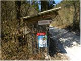 2
2 3
3 4
4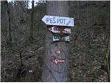 5
5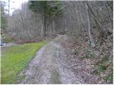 6
6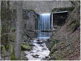 7
7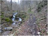 8
8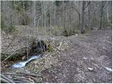 9
9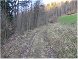 10
10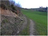 11
11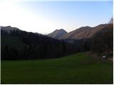 12
12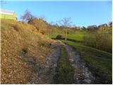 13
13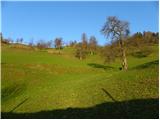 14
14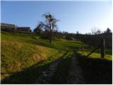 15
15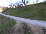 16
16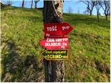 17
17 18
18 19
19 20
20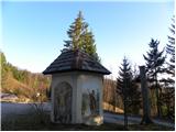 21
21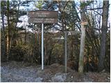 22
22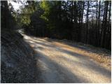 23
23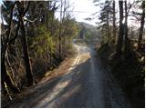 24
24 25
25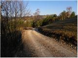 26
26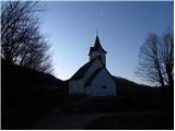 27
27
Discussion about the trail Petačev graben - Sveta Jedert
|
| TomKepi19. 10. 2019 |
Danes sem si izbral to pot, ampak žal nisem prišel do cilja. Markacij ni nobenih in tudi pot se konča z prepadom, ki ga je ustvaril zemeljski plaz. Srečal sem domačina, ki je dejal, da je pot neprehodna že od 2014.
|
|
|
|
| franca31. 01. 2022 21:36:31 |
V nedeljo sem šla po Petačevem grabnu na Tošč. Da je bil to Petačev graben, sem ugotovila šele po analizi doma, ker se nič ni ujemalo z opisom, nobene oznake ne ob cesti ne kasneje, pot je bila blaten kolovoz ob Selanovem potoku s slapiči, ki se je končal s podorom. Od tam sem šla naravnost v breg po strmem gozdu do jase in na njenem zgornjem robu prišla do novega kolovoza nad isto grapo. Po nekaj malo uhojenih poteh sem prišla do ceste, ki je na sliki 16, od tam naprej pa po opisu do svete Jedrt. Verjetno se da najti tudi enostavnejšo varianto, vsekakor pa ne gre več za označeno pot, moja tudi čisto enostavna ni bila.
|
|
|