Piano Fiscalino / Fischleinboden - Rifugio Locatelli
Starting point: Piano Fiscalino / Fischleinboden (1454 m)
| Lat/Lon: | 46,6668°N 12,3536°E |
| |
Time of walking: 3 h 10 min
Difficulty: easy marked way
Altitude difference: 951 m
Altitude difference po putu: 951 m
Map: Tabacco 10 1:25.000
Recommended equipment (summer):
Recommended equipment (winter):
Views: 6.985
 | 1 person likes this post |
Access to the starting point:
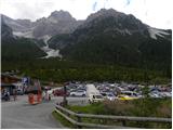
From Ljubljana through the Caravan Tunnel to Spittal. Continue to Lienz, where you will reach a roundabout and continue towards Sillian and Itali. On the Italian side of the border, you quickly reach San Candido, where you turn left towards the tourist town of Sesto / Sexten. Just after Sesto, you reach San Giuseppe / Moss, where signs for Val Fiscalina / Fischleintal point you to the right. Continue along the ascending road and follow it to a large pay parking area.
The free parking lot is about 2 km further down, at the bottom station of the circular cable car "Alta Pusteria".
Path description:
From the parking lot, continue along the main road for a few dozen metres and, just before the Dolomitenhof Hotel, turn right onto a narrow road that is closed to traffic. The road, still asphalted at first, soon becomes a dirt road. Later, turn left off the road onto a wide footpath that leads through a valley with views ahead. The hut Talschlusshütte / Rifugio Fondo Valle is soon reached along a sloping path.
At the hut, continue to the right, following the signs "Rif. Tre Cime" and "Rif. Comici". After a few minutes' walk along a wide path, you will reach the marked crossroads again. At the crossroads, where there is a magnificent view of the north face of the Einserkofel / Cima Una (2698m), continue right on path 102, where you are directed by the signs for hut Rifugio Locatelli / Drei Zinnen Hütte, and to the left the path leads to hut Rifugio Comici / Zsigmondy Hütte.
The trail then climbs slightly steeper up the right side of the Alteinsteinertal / Valle Sasso Vecchio valley and mostly follows the dwarf pines. The path then approaches the stream a few times and the view towards Monte Paterno begins to open up. As we approach the waterfall of the Altensteiner Bach stream, the path turns slightly to the right and starts to climb below the slopes of the peaks of Punta Slawina Lunga / Langlahn spitze (2770m) and Sasso Vecchio / Altsteinspitze (2909m). The path leaves the dwarf pines and climbs to the north-west. Later, when the path leads to flatter grassy slopes, the path turns left and leads past the Laghi dei Piani lakes to the Locatelli hut.

Pictures:
 1
1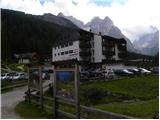 2
2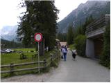 3
3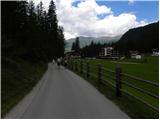 4
4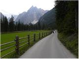 5
5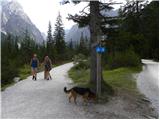 6
6 7
7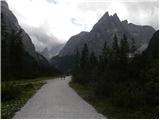 8
8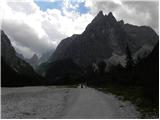 9
9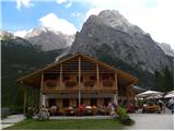 10
10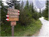 11
11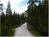 12
12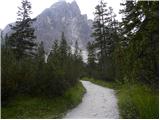 13
13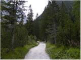 14
14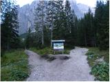 15
15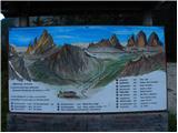 16
16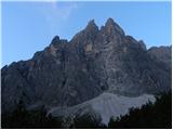 17
17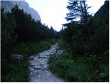 18
18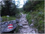 19
19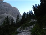 20
20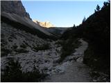 21
21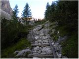 22
22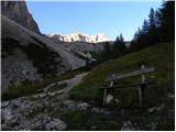 23
23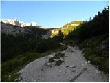 24
24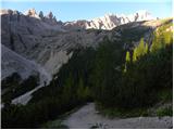 25
25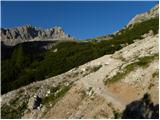 26
26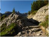 27
27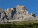 28
28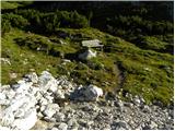 29
29 30
30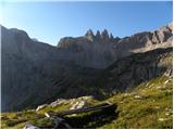 31
31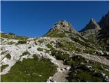 32
32 33
33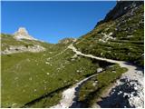 34
34 35
35 36
36 37
37 38
38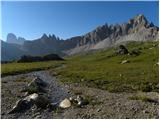 39
39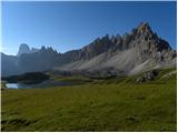 40
40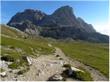 41
41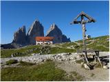 42
42 43
43 44
44 45
45
Discussion about the trail Piano Fiscalino / Fischleinboden - Rifugio Locatelli