Piano Fiscalino / Fischleinboden - Torre di Toblin / Toblinger Knoten
Starting point: Piano Fiscalino / Fischleinboden (1454 m)
| Lat/Lon: | 46,6668°N 12,3536°E |
| |
Time of walking: 4 h 30 min
Difficulty: extremely difficult marked way
Ferata: C
Altitude difference: 1163 m
Altitude difference po putu: 1170 m
Map: Tabacco 10 1:25.000
Recommended equipment (summer): helmet, self belay set
Recommended equipment (winter): helmet, self belay set, ice axe, crampons
Views: 4.095
 | 3 people like this post |
Access to the starting point:
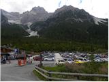
From Ljubljana through the Caravan Tunnel to Spittal. Continue to Lienz, where you will reach a roundabout and continue towards Sillian and Itali. On the Italian side of the border, you quickly reach San Candido, where you turn left towards the tourist town of Sesto / Sexten. Just after Sesto, you reach San Giuseppe / Moss, where signs for Val Fiscalina / Fischleintal point you to the right. Continue along the ascending road and follow it to a large pay parking area.
The free parking lot is about 2 km further down, at the bottom station of the circular cable car "Alta Pusteria".
Path description:
From the parking lot, continue along the main road for a few dozen metres and, just before the Dolomitenhof Hotel, turn right onto a narrow road that is closed to traffic. The road, still asphalted at first, soon becomes a dirt road. Later, turn left off the road onto a wide footpath that leads through a valley with views ahead. The hut Talschlusshütte / Rifugio Fondo Valle is soon reached along a sloping path.
At the hut, continue to the right, following the signs "Rif. Tre Cime" and "Rif. Comici". After a few minutes' walk along a wide path, you will reach the marked crossroads again. At the crossroads, where there is a magnificent view of the north face of the Einserkofel / Cima Una (2698 m), continue right on the path 102, where you will be directed by the signs for hut Rifugio Locatelli / Drei Zinnen Hütte, and to the left the path leads to hut Rifugio Comici / Zsigmondy Hütte.
The trail then climbs slightly steeper up the right side of the Alteinsteinertal / Valle Sasso Vecchio valley and mostly follows the dwarf pines. The path then approaches the stream a few times and the view towards Monte Paterno begins to open up. As we approach the waterfall of the Altensteiner Bach stream, the path turns slightly to the right and starts to climb below the slopes of the peaks of Punta Slawina Lunga / Langlahn spitze (2770 m) and Sasso Vecchio / Altsteinspitze (2909 m). The path comes out of the dwarf pines and ascends to the north-west. Later, when the path leads to flatter grassy slopes, it turns left and leads past the Laghi dei Piani lakes to the Locatelli hut.
From the hut, continue north past the chapel, at which you will see a signpost pointing you towards the Via Ferrata Torre di Toblin climbing route. The trail then follows the right-hand side of mountain Sasso di Sesto northwards and is marked by red triangles. Later, the trail turns left and there is a short climb up to the saddle between the Sasso di Sesto and Torre di Toblin peaks. At the saddle, continue slightly to the right and cross the slopes below the western face of Torre di Toblin. The path then leads to the north side, where you enter the climbing part of the route.
At the start, the path climbs steeply upwards along the right-hand steel cable. The path then follows a steep gully and climbs vertically up a ladder several times. As the path is usually quite crowded, the risk of falling rocks is also high. Later, the path turns slightly to the left and crosses a vertical slope on steps. There are a few more vertical climbs on the ladder, and then you soon reach a very scenic summit. Descend on a slightly easier, but still very challenging, route, which first briefly follows the southern ridge and then descends to the eastern side. Then it's a steep descent down along the cliff, and you'll see a couple of World War I tunnels along the way. The steep path then leads to the scree on the eastern side of the mountain, from where you continue south to the right and descend to the Locatelli hut.
As the path is usually very crowded, do not climb in the opposite direction to that described above. For this reason, the descending path at the bottom is not marked.

Pictures:
 1
1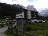 2
2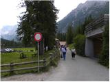 3
3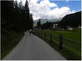 4
4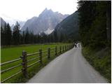 5
5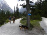 6
6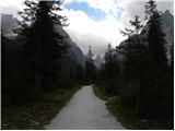 7
7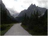 8
8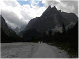 9
9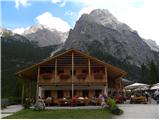 10
10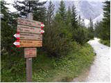 11
11 12
12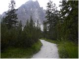 13
13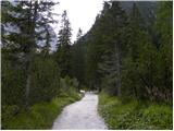 14
14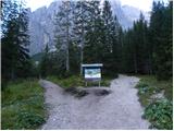 15
15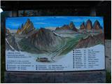 16
16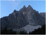 17
17 18
18 19
19 20
20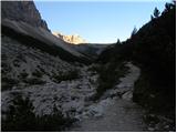 21
21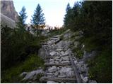 22
22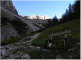 23
23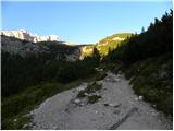 24
24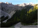 25
25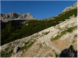 26
26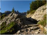 27
27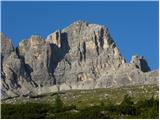 28
28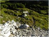 29
29 30
30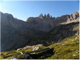 31
31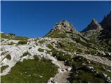 32
32 33
33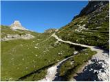 34
34 35
35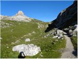 36
36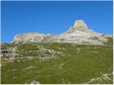 37
37 38
38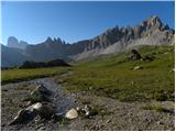 39
39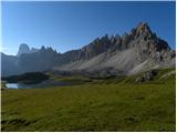 40
40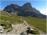 41
41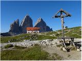 42
42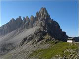 43
43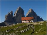 44
44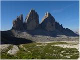 45
45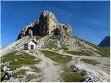 46
46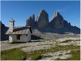 47
47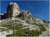 48
48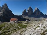 49
49 50
50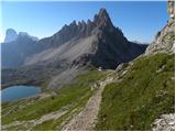 51
51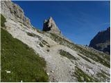 52
52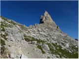 53
53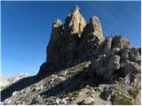 54
54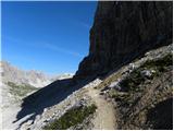 55
55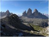 56
56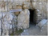 57
57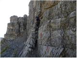 58
58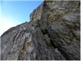 59
59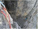 60
60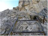 61
61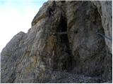 62
62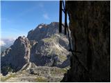 63
63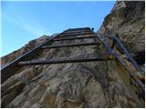 64
64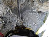 65
65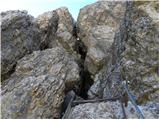 66
66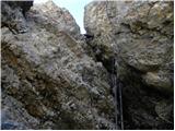 67
67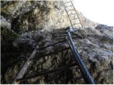 68
68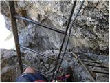 69
69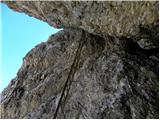 70
70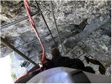 71
71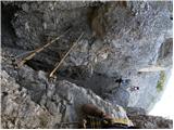 72
72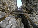 73
73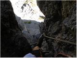 74
74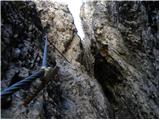 75
75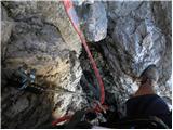 76
76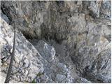 77
77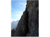 78
78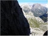 79
79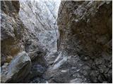 80
80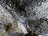 81
81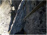 82
82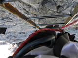 83
83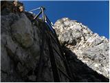 84
84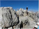 85
85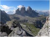 86
86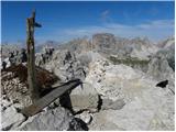 87
87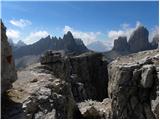 88
88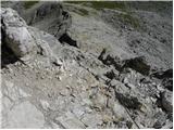 89
89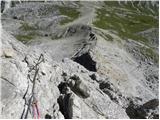 90
90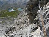 91
91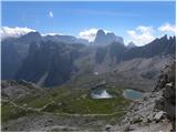 92
92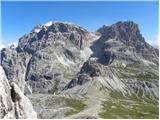 93
93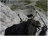 94
94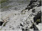 95
95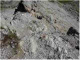 96
96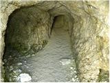 97
97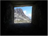 98
98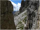 99
99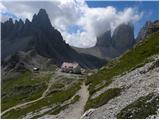 100
100
Discussion about the trail Piano Fiscalino / Fischleinboden - Torre di Toblin / Toblinger Knoten
|
| JORDAN15. 08. 2013 |
4.8.13 sva bila letos drugič v Dolomitih.Za cilj sva si izbrala Torre di Toblin,katerega sva osvojila v popoldanskem času kar se je izkazalo za odlično potezo saj sva bila na ferati sama,pa še vzpon je v senci.Vse skupaj je šlo zelo hitro,tako da sva za vzpon od koče Locatelli in sestop porabila 1:15h.Pri sestopu sva malo pohitela,ker se je bližala nevihta.Feratta kljub temu da je kratka je zahtevna in odlično varovana,ni pa za vrtoglave.
|
|
|
|
| mirank7. 01. 2017 |
Na slikah 5,8,9 in 13 je res Cima Una, kar me je zmotilo je podatek o višini. 3094m je višina Zwolferja-cima dodici ali Croda di Toni (ni vidna na nobeni sliki, ker je v megli zadaj), Cima una je visoka 2698m.
|
|
|
|
| Rok7. 01. 2017 |
Hvala za opozorilo. Sem popravil podatek o višini.
|
|
|
|
| mirank3. 10. 2020 |
Dober in izdaten opis, bi pa predlagal varianto za tiste, ki imajo še kaj drugega v planu. Na sliki 36 je lepo vidno sedlo severno (desno) od Toblina; nanj se povzpnemo kar direktno na primernrm mestu (tu in tam je shojeno). Na samem sedlu srečamo malce slabšo vidno prečno pot proti Lastronu dei scarpieri. Tu zavijemo levo proti Toblinu po oz ob mestoma še ohranjenih jarkih iz 1. sv vojne. ta kratki položni vzpon zaključi malo strmejšega skrotja, kjer se držimo malce desno in gor in tam stopimo na markirano pot nekje v območju sl 55. Tako prišparaš najmanj pol ure ali pa še več. Patreno kliče še isti dan  
|
|
|