Plajberški graben / Bleiberger Graben - Rabenberg
Starting point: Plajberški graben / Bleiberger Graben (1000 m)
| Lat/Lon: | 46,4895°N 14,2166°E |
| |
Time of walking: 1 h 45 min
Difficulty: easy unmarked way
Altitude difference: 465 m
Altitude difference po putu: 465 m
Map: Karavanke - osrednji del 1:50.000
Recommended equipment (summer):
Recommended equipment (winter): ice axe, crampons
Views: 169
 | 2 people like this post |
Access to the starting point:
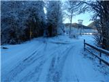
Cross the Border crossing Ljubelj into Austria, and at the Mali Ljubelj pass, turn left towards the Poden / Bodental valley. There is a bit of a climb before you reach Slovenji Plajberk / Windisch Bleiberg, and a little after the village the road turns left. In the middle of the left turn, turn right onto a side road towards Strugarje / Strugarjach. Continue through Plajberisch Graben - Bleiberger Graben, and follow the road to a crossroads where, at an interesting sign to the right, the road branches off in the direction of the Vranjica saddle / Orienzasattel and the Psinski vrh hill / Sinacher Gupf. Park in a suitable place near the crossroads.
Path description:
From the starting point, continue along the right-hand road in the direction of the Dog Peak / Sinacher Gupf and the Vranjica saddle / Orienzasattel (straight Strugarje / Strugarjach). At first, walk along the gently sloping road, which leads you past individual farmhouses, then after the Vranjšnjak farmhouse / Oreinschnak, the asphalt ends, and the path leads you along the edge of the pasture. Higher up, the road turns into a dense forest and leads us in a moderate ascent to a crossroads at the Vranjica saddle, where we continue slightly right at the first crossroads in the direction Singerberg (Psinski vrh on the left), and at the second crossroads, only a few 10 steps away, we turn right again in the same direction (straight ahead St. Johan in the Rosary / St. Johan im Rosental and Bistrica in the Rosary / Feistritz im Rosental).
There is a cross-climb to the left, following the slopes of the Rabenberg peak, and at the crossroads follow the wider or marked road. Higher up, at the area called Velika rovna, the road is laid out and then climbs cross-country to the Albink saddle, where there is a marked crossroads.
From the crossroads at the Albnik saddle, continue sharp right on the unmarked road (left Singerberg, straight Slovenji Plajberk), which climbs moderately for a while, then the road, from which we have occasional views mainly to the north, is laid. In the last part of the road, follow the folded road to its end, from where you continue to the left and in a few steps climb up to the highest point of the Rabenberg peak.
Starting point - saddle Vranjica 0:30, saddle Vranjica - saddle Albink 0:50, saddle Albink - Rabenberg 0:25.
Description and pictures refer to 2019 (December).

Pictures:
 1
1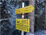 2
2 3
3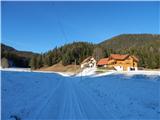 4
4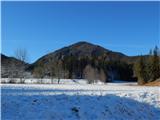 5
5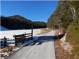 6
6 7
7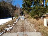 8
8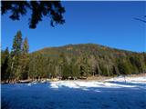 9
9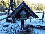 10
10 11
11 12
12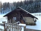 13
13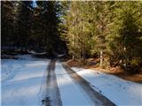 14
14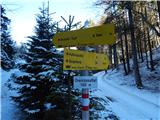 15
15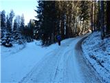 16
16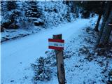 17
17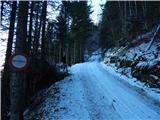 18
18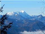 19
19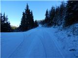 20
20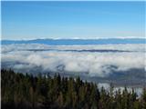 21
21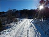 22
22 23
23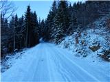 24
24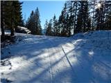 25
25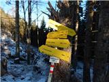 26
26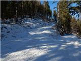 27
27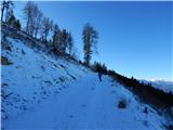 28
28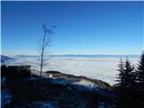 29
29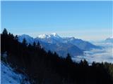 30
30 31
31 32
32 33
33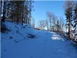 34
34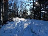 35
35 36
36 37
37
Discussion about the trail Plajberški graben / Bleiberger Graben - Rabenberg