Planina Blato - Glava v Zaplanji (Za Kopico)
Starting point: Planina Blato (1147 m)
| Lat/Lon: | 46,3112°N 13,8501°E |
| |
Name of path: Za Kopico
Time of walking: 7 h
Difficulty: easy unmarked way
Altitude difference: 1409 m
Altitude difference po putu: 1700 m
Map: Triglav 1:25.000
Recommended equipment (summer):
Recommended equipment (winter): ice axe, crampons
Views: 5.572
 | 2 people like this post |
Access to the starting point:
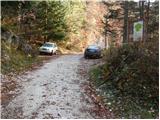
From the Ljubljana - Jesenice motorway, take the Lesce exit and follow the road towards Bled and on to Bohinjska Bistrica. Continue towards Bohinjsko jezero (Ribčev laz), at which you will come to a crossroads where you will turn right towards Stara Fužina. At Stara Fužina, at the crossroads by the chapel, turn sharp left onto the ascending road towards mountain pasture Blato, mountain pasture Vogar and the Voja valley. The road continues to the place where the toll and parking fees are collected, and we follow it to the next crossroads, where we continue to the left (right Voje). We then follow the road to the next crossroads (we drive for some time), where we take a sharp right in the direction of mountain pasture Blato (straight ahead mountain pasture Vogar). Follow this road to the parking lot above mountain pasture Blato.
Path description:
From the parking lot at mountain pasture Mud, follow the road back a little to the signs at cart track. Here we take the cart track, which climbs steeply at first and then moderately, and within ten minutes' walk leads us to a crossroads, where we turn left (straight mountain pasture in Laz). Cart track is then followed through the forest to the hut at mountain pasture at Jezero. Here you will have a view of the surrounding hills.
Go around the mountain hut on the left and the path leads us in a slight downhill to a crossroads where we continue straight along cart track (to the left mountain pasture Viševnik). The mostly rocky cart track, which follows an unmarked valley, climbs steeply a few times and, after half an hour's walk from mountain pasture at Jezero, leads to mountain pasture Dedno polje, where you reach the next crossroads.
Here you leave the broad path leading to the cottage at the Triglav lakes. Continue to the right (direction Vratca Pass, Hribarice and Prehodavci), initially slightly downhill past shepherds' huts to the above-mentioned mountain pasture. On the other side of mountain pasture the path starts climbing again and leads to a less visible crossroads where the path branches off to the right to mountain pasture in Laz. Continue straight up the path, which gradually starts to climb more steeply. The path, which takes us past the animal watering point (the watering point is dry), climbs mostly through coniferous forest (larch and spruce). After about half an hour's walk from mountain pasture Dedno polje, the world flattens out and a fine view opens up of the peaks that surround the initial part of the Za Kopica valley. The route continues up the southern slopes of Slatna and Prvego Vogel, and then gradually passes into the central part of the Za Kopico valley. This valley is then followed all the way to the Vrata saddle, where the path from the Štapce pass (the ridge of Tičarica, Kopica and Zelnarica) joins us from the left. Here we continue on, initially slightly downhill, crossing the slopes of Vršaki, where we cross a wide but slightly exposed short shelf (not difficult), and then we reach a crossroads, where the path from the Triglav lakes joins us. Continue right up the rocky path, which leads to the vast areas of Hribarice. At Hribarice there are two crossroads, both going straight ahead (both left Kanjavec). Then cross the plateau Hribarice to the saddle Čez Hribarice. The trail continues down the scree towards the saddle Dolič. After a half-hour descent, there is a slight ascent to the saddle where the next crossroads are. Continue left towards the Tržaški hut, which can already be seen (right Velo polje), after an easy 5-minute descent.
From the hut, continue right to the west and climb the steeply ascending mulatier. After half an hour's walk from the hut, the world flattens out and the path no longer gains altitude. Now you can see Triglav in front of you. Continue walking in the route Triglav along the foothills, taking care not to step in any holes and twist your legs. Next, we come to a crossroads where the path from Plemenice joins. Here continue left on the unmarked path (Triglav on the right), which you follow for 10 minutes to Morbegna. From Morbegna to the top we have only a few dozen steps to walk on easy pathless ground.
Blato - Dedno polje 1:30, Dedno polje - Vrata 2:30, Vrata - Dolič 1:15, Dolič - Glava v Zaplanji 1:45.

Pictures:
 1
1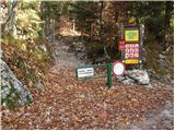 2
2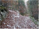 3
3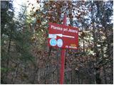 4
4 5
5 6
6 7
7 8
8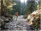 9
9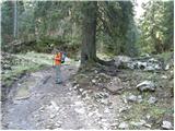 10
10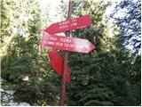 11
11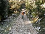 12
12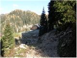 13
13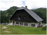 14
14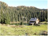 15
15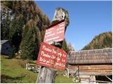 16
16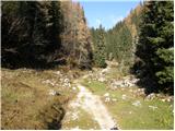 17
17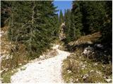 18
18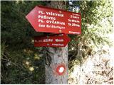 19
19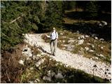 20
20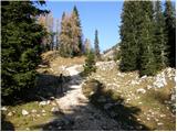 21
21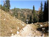 22
22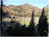 23
23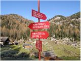 24
24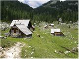 25
25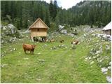 26
26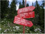 27
27 28
28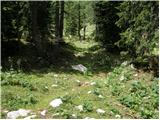 29
29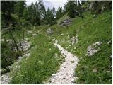 30
30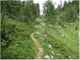 31
31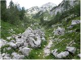 32
32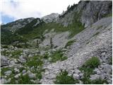 33
33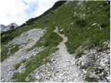 34
34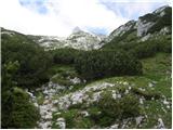 35
35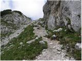 36
36 37
37 38
38 39
39 40
40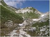 41
41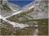 42
42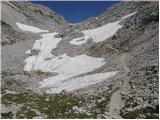 43
43 44
44 45
45 46
46 47
47 48
48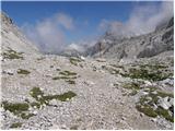 49
49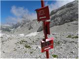 50
50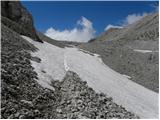 51
51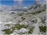 52
52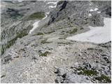 53
53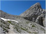 54
54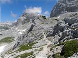 55
55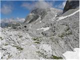 56
56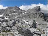 57
57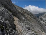 58
58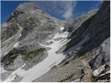 59
59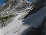 60
60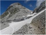 61
61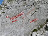 62
62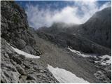 63
63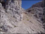 64
64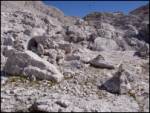 65
65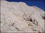 66
66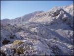 67
67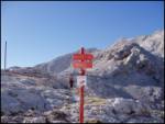 68
68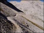 69
69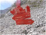 70
70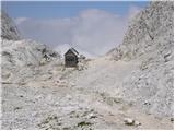 71
71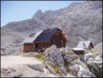 72
72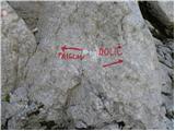 73
73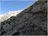 74
74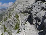 75
75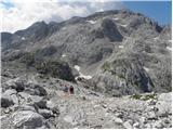 76
76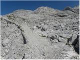 77
77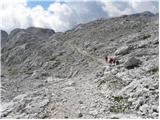 78
78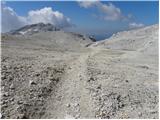 79
79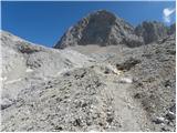 80
80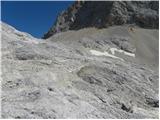 81
81 82
82 83
83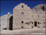 84
84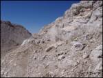 85
85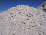 86
86
Discussion about the trail Planina Blato - Glava v Zaplanji (Za Kopico)