Planina Blato - Kanjavec (via Dolina za Debelim vrhom)
Starting point: Planina Blato (1147 m)
| Lat/Lon: | 46,3112°N 13,8501°E |
| |
Name of path: via Dolina za Debelim vrhom
Time of walking: 5 h 45 min
Difficulty: easy pathless terrain
Altitude difference: 1422 m
Altitude difference po putu: 1620 m
Map: TNP 1 : 50.000
Recommended equipment (summer):
Recommended equipment (winter): ice axe, crampons
Views: 16.520
 | 3 people like this post |
Access to the starting point:
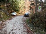
From the Ljubljana - Jesenice motorway, take the Lesce exit and follow the road towards Bled and on to Bohinjska Bistrica. Continue towards Bohinjsko jezero (Ribčev laz), at which you will come to a crossroads where you will turn right towards Stara Fužina. At Stara Fužina, at the crossroads by the chapel, turn sharp left onto the ascending road towards mountain pasture Blato, mountain pasture Vogar and the Voja valley. The road continues to the place where the toll and parking fees are collected, and we follow it to the next crossroads, where we continue to the left (right Voje). We then follow the road to the next crossroads (we drive for some time), where we take a sharp right in the direction of mountain pasture Blato (straight ahead mountain pasture Vogar). Follow this road to the parking lot above mountain pasture Blato.
Path description:
From the parking lot at mountain pasture Mud, follow the road back a little to the signs at cart track. Here we take the cart track, which climbs steeply at first and then moderately and leads us within a ten-minute walk to a crossroads where we go right in the direction of mountain pasture in Laz (left mountain pasture at Jezero). After only a few 10 steps of further walking, you reach the next crossroads, where you again continue to the right along the increasingly worse cart track (straight mountain pasture at Jezero, a steep path). The path continues to climb moderately and mostly through the forest. After an hour and a half of walking, the path branches off to the right at mountain pasture Krstenica, and we continue straight on in the direction of mountain pasture Laz. The way forward begins to descend slightly and then quickly leads us to mountain pasture.
From mountain pasture, continue to the right along the marked trail, which goes over Lazovški preval towards Vodnik's home. The path climbs gently at first through a sparse forest. The path soon emerges from the forest and climbs slightly steeper.
At Lazovški preval leave the marked path and turn left towards Debeli vrh (marked cairns). After a short climb, turn slightly right to the north side of Debeli vrh. A little care is needed here, as there are some potholes along the way. Follow the moguls across the slopes below the north face of Debeli vrh and start descending on fairly steep terrain. After descending, turn right (northwards), cross the valley and then start to climb below the western slopes of Vrh Hribaric (2388m). Following the terrain marked cairns, continue to climb gently in a northwards direction until you reach Hribarice, where you will rejoin the marked path. Head straight in the direction of Kanjavac. The path climbs quite steeply and follows an undistinguished valley between the eastern and western summits of Kanjavac. At the saddle between the two peaks, turn right and reach the summit in a few minutes.

Pictures:
 1
1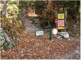 2
2 3
3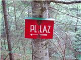 4
4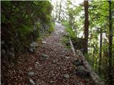 5
5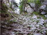 6
6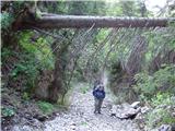 7
7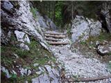 8
8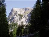 9
9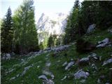 10
10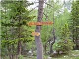 11
11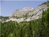 12
12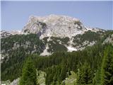 13
13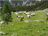 14
14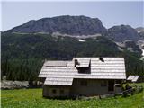 15
15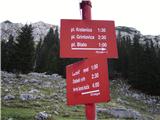 16
16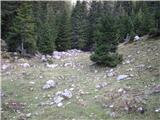 17
17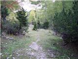 18
18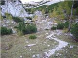 19
19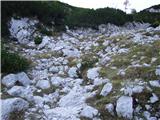 20
20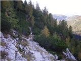 21
21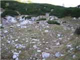 22
22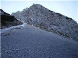 23
23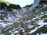 24
24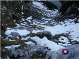 25
25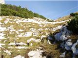 26
26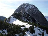 27
27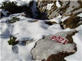 28
28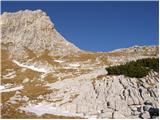 29
29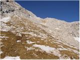 30
30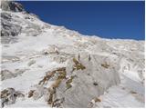 31
31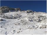 32
32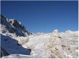 33
33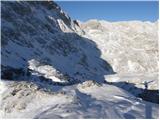 34
34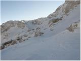 35
35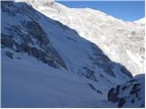 36
36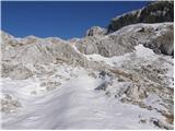 37
37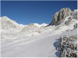 38
38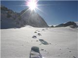 39
39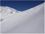 40
40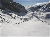 41
41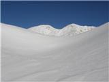 42
42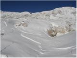 43
43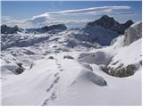 44
44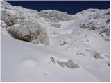 45
45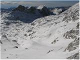 46
46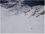 47
47 48
48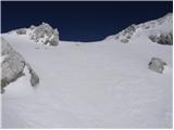 49
49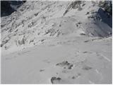 50
50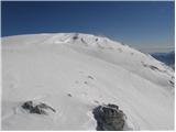 51
51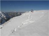 52
52
Discussion about the trail Planina Blato - Kanjavec (via Dolina za Debelim vrhom)
|
| IDAS8. 08. 2020 |
Ali je ta pot za Debelim vrhom še aktivna, ker je na zemljevidu ni? Ali so možici do markirane poti na Kanjavec?
|
|
|
|
| matej7128. 08. 2020 |
Prehode se še vedno da najti s pomočjo možicev. Se pa vidi, da po njej ne hodi veliko ljudi. Jaz sem jo prehodil pred cca 2 tednoma.
|
|
|
|
| IDAS9. 08. 2020 |
Možici so bili do grebena na severni strani Debelega vrha, potem pa nič več...ali je pot na grebenu bolj levo ali desno, ker so do grebena dvojni možici (dve smeri)...
|
|
|
|
| matej7129. 08. 2020 |
V zgornji tretjini doline gre pot bolj po desni strani doline, gledano v smeri Kanjavca. Prej pa po levi, pod severnim ostenjem DV.
|
|
|
|
| IDAS10. 08. 2020 |
Prav lepa hvala! Očitno je res lahko, sem našla še dva opisa poti in nekaj slik. Grem, ko bom utegnila.
|
|
|