Planina Blato - Mala Tičarica (snowy approach)
Starting point: Planina Blato (1147 m)
| Lat/Lon: | 46,3112°N 13,8501°E |
| |
Name of path: snowy approach
Time of walking: 3 h 30 min
Difficulty: easy pathless terrain
Altitude difference: 924 m
Altitude difference po putu: 1000 m
Map: Triglav 1:25.000
Recommended equipment (summer):
Recommended equipment (winter): ice axe, crampons
Views: 7.368
 | 2 people like this post |
Access to the starting point:
From the Ljubljana - Jesenice motorway, take the Lesce exit and follow the road towards Bled and on to Bohinjska Bistrica. Continue towards Bohinjsko jezero (Ribčev laz), at which you will come to a crossroads where you will turn right towards Stara Fužina. At Stara Fužina, at the crossroads by the chapel, turn sharp left onto the ascending road towards mountain pasture Blato, mountain pasture Vogar and the Voja valley. The road leads to a place where tolls and parking fees are collected, and we follow it to the next crossroads, where we continue to the left (right Voje). We then follow the road to the next crossroads (we drive for some time), where we take a sharp right in the direction of mountain pasture Blato (straight ahead mountain pasture Vogar). Follow this road to the parking lot above mountain pasture Blato.
If the road to mountain pasture Blato is snow-covered, you will need to park lower down, which will add 1 to 1. 5 hours to the journey.
Path description:
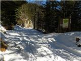
From the parking lot at mountain pasture Mud, take the wide cart track in the direction of mountain pasture at Jezero. After about 10 minutes' ascent, you reach a marked crossroads where you continue left (right mountain pasture in Laz). cart track, which occasionally climbs a little steeper, leads you higher up to a narrower passage, after which you reach steeper slopes, which are only crossed by cart track. After this steep part, which is dangerous for slipping in icy snow, the path turns to the left and enters a pleasant valley, which often has cold air. Follow the above-mentioned path, which becomes completely flat higher up, to mountain pasture at Jezero.
From the mountain hut at mountain pasture near Jezero, continue slightly left and initially slightly downhill to a marked crossroads (in high snow, direction signs may be under the snow). Continue slightly right in the direction of Dednega polje along a small valley. Although the markings are mostly on rocks and thus not visible in the snow, there are no major problems with orientation. After half an hour's walk from mountain pasture at Jezero, the trail leads to mountain pasture Dedno polje, where the next crossroads are.
Continue in the direction of the Vrata Pass and Zasavska hut along the "path" which initially descends to the shepherd's huts and then begins to climb the slopes of Chalk on the right and Kovačičeva glava on the left. We continue up the valley between the two peaks, then the terrain flattens out and the 'path' leads us to a place where we have a beautiful view of the peaks that surround the initial part of the Za Kopico valley.
Here you will see a slightly larger basin, which you can walk along to the other side of the basin (the path towards the gateway passes more to the right).
So, at this basin, leave the route of the annual trail to the Vrata pass and continue westwards.
At the end of the basin, a beautiful passage opens to the left into another more distinct valley between Kovačičeva and Bela glava on the left and the indistinct Vrh nad Vodeno Rupo on the right.
From here we can see the top of Mala and Velika Tičarica.
The ascent continues westwards, except that the "path" passes out of the valley into steeper and steeper slopes, which in unfavourable conditions are dangerous for avalanches. The ascent continues on the slopes mentioned above, but we stick to the slightly more left-handed passages, as Mala Tičarica is on the left-hand side. Higher up, the slope eases slightly for a short time, then climbs steeply towards the top of Mala Tičarica. The last ascent towards the summit is also very dangerous for slipping due to the considerable steepness. In fog, the tour is very difficult in terms of orientation and I advise against it.

Pictures:
 1
1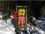 2
2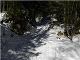 3
3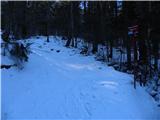 4
4 5
5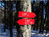 6
6 7
7 8
8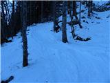 9
9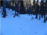 10
10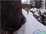 11
11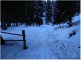 12
12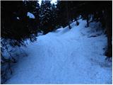 13
13 14
14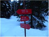 15
15 16
16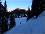 17
17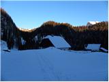 18
18 19
19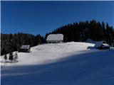 20
20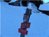 21
21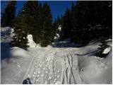 22
22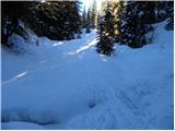 23
23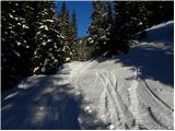 24
24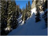 25
25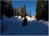 26
26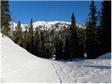 27
27 28
28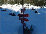 29
29 30
30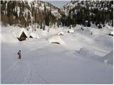 31
31 32
32 33
33 34
34 35
35 36
36 37
37 38
38 39
39 40
40 41
41 42
42 43
43 44
44 45
45 46
46 47
47 48
48
Discussion about the trail Planina Blato - Mala Tičarica (snowy approach)