Planina Blato - Ogradi (via Planina Krstenica)
Starting point: Planina Blato (1147 m)
| Lat/Lon: | 46,3112°N 13,8501°E |
| |
Name of path: via Planina Krstenica
Time of walking: 3 h 15 min
Difficulty: easy unmarked way
Altitude difference: 940 m
Altitude difference po putu: 1050 m
Map: TNP 1:50.000
Recommended equipment (summer):
Recommended equipment (winter): ice axe, crampons
Views: 15.472
 | 3 people like this post |
Access to the starting point:
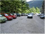
From the Ljubljana - Jesenice motorway, take the Lesce exit and follow the road towards Bled and on to Bohinjska Bistrica. Continue towards Bohinjsko jezero (Ribčev laz), at which you will come to a crossroads where you will turn right towards Stara Fužina. At Stara Fužina, at the crossroads by the chapel, turn sharp left onto the ascending road towards mountain pasture Blato, mountain pasture Vogar and the Voja valley. The road leads to a place where tolls and parking fees are collected, and we follow it to the next crossroads, where we continue to the left (right Voje). We then follow the road to the next crossroads (we drive for some time), where we take a sharp right in the direction of mountain pasture Blato (straight ahead mountain pasture Vogar). Follow this road to the parking lot above mountain pasture Blato.
Path description:
From the parking lot, continue along the dirt road, which takes a few steps past the ramp to a right-hand bend. On the right-hand side of this bend, you will see the start of a hunting trail, which leads us over a short, very steep slope with the help of a jeklenice. The path soon passes into the forest and turns slightly to the right, where it soon crosses the wide cart track (you can also follow the road to here, or the higher cart track). Continue along a pleasant forest path, which climbs parallel to a relatively steep track. Higher up, the path curves to the left, and a track joins from the right, leaving the track about 15 minutes above mountain pasture Blato.
The hunting trail continues through the forest with a few short steep climbs and after a good hour's walk leads us to a small hunting lodge on the left side of the trail. Here, a minute-long path branches off to the left to a viewpoint where we can see mountain pasture Blato below us.
From the hunting lodge onwards, the path soon leads us out of the forest, where we rejoin the cart track. It is only a good five-minute walk to mountain pasture Krstenica, where we have a beautiful view of Ogradi, Krn and the Lower Bohinj Mountains.
At mountain pasture Krstenica we also reach a marked path leading from Stara Fužina to Jezerski preval, and we walk along the above-mentioned path to the western part of mountain pasture, where we see the markers for mountain pasture in Laz. Continue in the direction of the above-mentioned mountain pasture and first start descending towards the valley separating Ogradi from the Stogov ridge. When the descent ends, the path leads us through occasionally more dense forest, crossing first the valley and then the slopes at the foot of Ogradi to the east. A little further on, the path begins to climb more visibly and turns right. The ascent does not take long as the path quickly becomes level. A few minutes' walk with slight ups and downs follows, and then you reach a crossroads, usually with a sign cairn.
Here continue sharp right (straight ahead mountain pasture in Laz) on an unmarked path leading to the top of the Ogradovi.
The clearly visible but unmarked path climbs steeply and leads us within a few minutes to the ruins of the abandoned mountain pasture on the southern slopes of Ogradovi. Here the path turns to the left and the steepness gradually eases. Continue along an occasionally slightly less visible track which climbs up the grassy slope of the mountain. The increasingly scenic path then climbs again a little steeper and leads us to the summit in a few more minutes of walking.

Pictures:
 1
1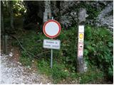 2
2 3
3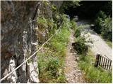 4
4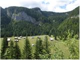 5
5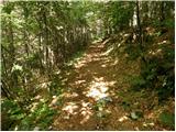 6
6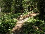 7
7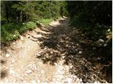 8
8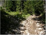 9
9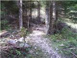 10
10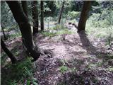 11
11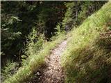 12
12 13
13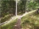 14
14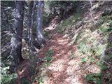 15
15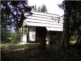 16
16 17
17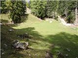 18
18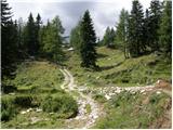 19
19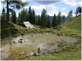 20
20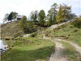 21
21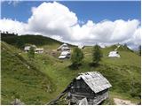 22
22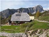 23
23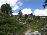 24
24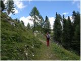 25
25 26
26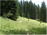 27
27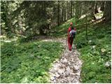 28
28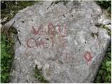 29
29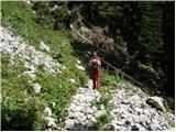 30
30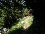 31
31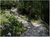 32
32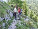 33
33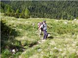 34
34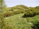 35
35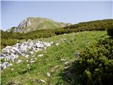 36
36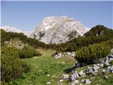 37
37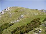 38
38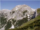 39
39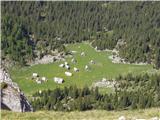 40
40 41
41 42
42 43
43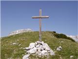 44
44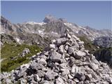 45
45
Discussion about the trail Planina Blato - Ogradi (via Planina Krstenica)
|
| zavratčan20. 10. 2015 |
res lepa planinska pot polna čudovitih razgledov
|
|
|
|
| Grenaleva21. 10. 2015 |
Lahko pa se gre od planina Krstenice levo proti planini Jezerce, pod Jezerski Stog in Adama in Evo, pa nato na vrh preko sedla, je pa malo zoprnih kakih 10 metrov od sedla, ko je treba malo po skalah, nato se hodi po grebenu, je pa potem spust po opisani poti
|
|
|
|
| zavratčan29. 10. 2015 |
Ali ni ko prideš na vrh še ena steza, ki se malce strmeje spušča?
Ali jo je kdo že izprobal?
|
|
|
|
| Grenaleva30. 10. 2015 |
No po tej smo mi šli gor, tako da smo iz planine Krstenice, zavili na planino Jezerce, pa potem do sedla (ta del je slabše označen) in na Ogradi - za dol zna najbrž biti tistih 10-20 m kar zoprnih, se pa iz sedla lahko naredi krožna čez planino Laz
|
|
|
|
| Grenaleva30. 10. 2015 |
Ljubitelj gora: je to slikano s poti na Debeli vrh? Koliko je iz prevala še do vrha?
|
|
|
|
| tango9. 10. 2020 |
Danes pa krožna tura: Planina Blato-planina Krstenica- Lazoviški preval-Ogradi- Planina v Lazu- Planina Blato.Pot na planino Krstenico je vse kaj drugačna kot je bila v mojem spominu. Vetrolom je povzročil pravi masaker, dodatno pa še podlubnik, tako da smrek kmalu ne bo več, z gozdarskimi traktorji pa se je pot spremenila v blatna korita. Še dobro, da je nadaljevanje od Krstenice do vrha Ogradov tako, da ti kar srce plapola, tako da tudi malo iskanja poti, ker so markacije zbledele, odcepi pa ne tako očitni, kot so jasno zapisani v poti " Vrh Hribaric čez Lazoviški preval", ni poseben problem. Vrh je pač vrh, pravi užitek pa spokojna Planina v Lazu, ki jo v njenem spanju varujejo Debeli vrh in Ogradi.Nikjer nikogar, samo šumenje vode in občudovanje sramežljivo orumenelih macesnov. Krasen zaključek toplih dni nad 2000m.
|
|
|
|
| bo_zl29. 06. 2024 19:12:10 |
od planine blato se držite tistega najširšega, najstrmejšega kolovoza, ko se le ta položi zavijte levo, kmalu boste na drevesu zagledali napis Krstenica. Ko se na Krstenici priključite na pot ne pojdite desno proti hiškam, zavijte levo po poti ki se začne spuščati. Odcep za ograde ima poleg možica na skali tudi velik napis Ogradi, tako da zgrešiti se več ne da.
|
|
|