Planina Blato - Zasavska koča na Prehodavcih (via Prodi)
Starting point: Planina Blato (1147 m)
| Lat/Lon: | 46,3112°N 13,8501°E |
| |
Name of path: via Prodi
Time of walking: 5 h 15 min
Difficulty: easy marked way
Altitude difference: 924 m
Altitude difference po putu: 1150 m
Map: Triglav 1:25.000
Recommended equipment (summer):
Recommended equipment (winter): ice axe, crampons
Views: 44.419
 | 7 people like this post |
Access to the starting point:
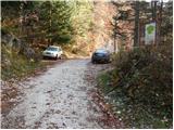
From the Ljubljana - Jesenice motorway, take the Lesce exit and follow the road towards Bled and on to Bohinjska Bistrica. Continue towards Bohinjsko jezero (Ribčev laz), at which you will come to a crossroads where you will turn right towards Stara Fužina. At Stara Fužina, at the crossroads by the chapel, turn sharp left onto the ascending road towards mountain pasture Blato, mountain pasture Vogar and the Voja valley. The road continues to the place where the toll and parking fees are collected, and we follow it to the next crossroads, where we continue to the left (right Voje). We then follow the road to the next crossroads (we drive for some time), where we take a sharp right in the direction of mountain pasture Blato (straight ahead mountain pasture Vogar). Follow this road to the parking lot in front of mountain pasture Blato.
Path description:
From the marked parking lot at mountain pasture Blato go back a few 10 steps, then take the wide and initially quite steep cart track in the direction of mountain pasture at Jezero. After 10 minutes of relatively steep ascent, you reach a marked crossroads where you continue along the left steep cart track (straight mountain pasture in Laz), only to be joined a little higher by the marked path with mountain pasture Vogar. Continue along the wide, partly stony cart track, which is laid down transiently higher up, and then climbs steeply through a small hairpin bend. Just ahead, the path bends sharply to the left and leads into a cold valley called Pungrat, where it crosses an abandoned pasture fence. The path ahead starts to climb steeply again, then turns to the right and lays completely flat. Just a few metres further on, we join the path with mountain pasture Vodični vrh on our left, and we continue straight on and after 5 minutes of further walking we arrive at mountain pasture near Jezero, in the middle of which stands a mountain hut.
From the mountain hut, continue slightly to the left and initially downhill to a marked crossroads, from which take the right path in the direction of Dednega polje (to the left mountain pasture Viševnik and Pršivec). The wide path continues, first gently and then climbing moderately to steeply through a sparse spruce forest. Higher up, a path branches off to the left across Krištofojca, leading towards mountain pasture Viševnik, and we continue along the wide path, which gently slopes upwards and then turns slightly to the right, where we see mountain pasture Dedno polje ahead. Here the path turns to the left and after a few further steps leads to mountain pasture Dedno polje, at the edge of which there is a marked crossroads.
Continue straight ahead towards the hut at Triglav Lakes (right valley Za Kopica) along the path, which continues to climb gently to moderately through mostly sparse forest. The path from which we open a beautiful view of the Lower Bohinj Mountains then descends and leads us to mountain pasture Ovčarija, where the next crossroads. Here we continue slightly left in the direction of the huts at the Triglav Lakes (across Prode) on a path that leads us after a few more minutes to a beautiful viewpoint (view of the Lower Bohinj Mountains). Here the path turns sharp right and in a moderate descent crosses steep grassy slopes. The path then enters the forest and begins to climb steeply for a short time. The steepness then eases and the path leads us out of the dense forest to a crossroads where the path from Černý jezero joins us on the left. Continue straight on the path, which climbs gently and after a few minutes leads us to a place where we see the Double Lake in front of us. The path continues gently downhill to the lake and continues on the right-hand side. Here we come to a crossroads where the path to Tičarica branches off to the right. Continue on the lower path, which after a few minutes of further walking leads us to the hut at Triglav Lakes, which we can see in front of us.
At the hut, head in the direction Triglav straight ahead. Just a few metres from the hut, you will pass the artificial lake Močivec, which is the source of drinking water at the hut. The path then climbs moderately up the valley of the Triglav Lakes. During the ascent, you can admire the walls of Tičarice and Kopica on the right, while to the left you can admire the views towards the Špičja ridge. The way forward leads us to the next crossroads, where we continue slightly to the right along the path in the direction of Prehodavci and Triglav (Veliko Špičje on the left). The forest along the way is becoming increasingly sparse and the path leads us to the largest Triglav lake, Ledvice. The trail bypasses the lake on the right side over extensive scree, which is slowly but steadily filling in the lake. A beautiful high-mountain path then leads to the next Zeleno jezero, which has a characteristic green colour.
From Zeleno jezero, continue along the left-hand path towards Zasavska hut (right Hribarice), which soon splits into two parts. Continue along the left path, which ascends directly towards Zasavska hut (the right path leads past Rjavo jezero) and after a few minutes leads us to an indistinct ridge (the border between Primorska and Gorenjska). Here, continue to the right (left Veliko Špičje, straight down Trenta) along the path, which leads us past the winter bivouac in a few minutes of easy walking to Zasavska hut na Prehodavci. Blato - Koča pri Triglavskih jezerih 3:15, Koča pri Triglavskih jezerih - Zasavska koča 2:00.

Pictures:
 1
1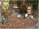 2
2 3
3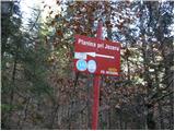 4
4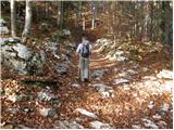 5
5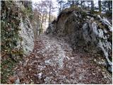 6
6 7
7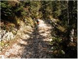 8
8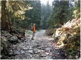 9
9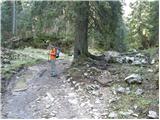 10
10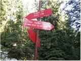 11
11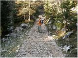 12
12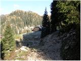 13
13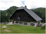 14
14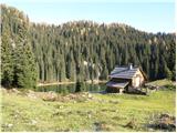 15
15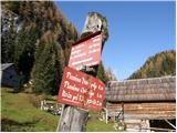 16
16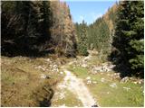 17
17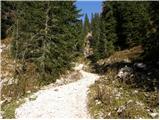 18
18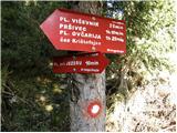 19
19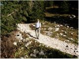 20
20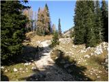 21
21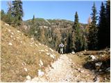 22
22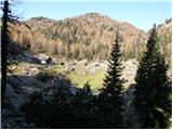 23
23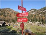 24
24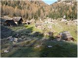 25
25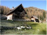 26
26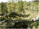 27
27 28
28 29
29 30
30 31
31 32
32 33
33 34
34 35
35 36
36 37
37 38
38 39
39 40
40 41
41 42
42 43
43 44
44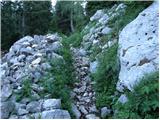 45
45 46
46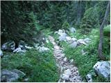 47
47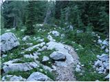 48
48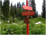 49
49 50
50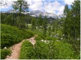 51
51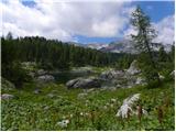 52
52 53
53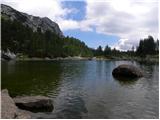 54
54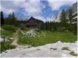 55
55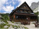 56
56 57
57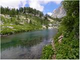 58
58 59
59 60
60 61
61 62
62 63
63 64
64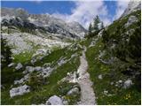 65
65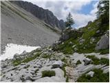 66
66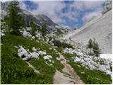 67
67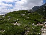 68
68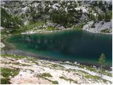 69
69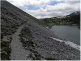 70
70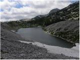 71
71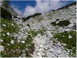 72
72 73
73 74
74 75
75 76
76 77
77 78
78 79
79 80
80 81
81 82
82 83
83 84
84 85
85 86
86 87
87 88
88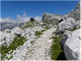 89
89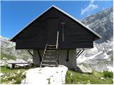 90
90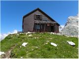 91
91
Discussion about the trail Planina Blato - Zasavska koča na Prehodavcih (via Prodi)
|
| klukc13. 06. 2008 |
uprašu bi če je res 6 ur hoje al je več 
|
|
|
|
| Tadej13. 06. 2008 |
Povprečen gornik bo za to pot potreboval 5-6h zmerne hoje, z nekaj daljšimi počitki pa kakšno uro več.
|
|
|
|
| mukica14. 06. 2008 |
Če si uhojen se ti splača iti v eno smer čez dolino za Kopico ali pa celo na Tičarico ali Zelnarico ,potem pa po drugi dol.Midva sva lani naredila turo z Zelnarico in sva porabila cca 10 ur. 
|
|
|
|
| el rocco3. 07. 2016 |
Čudovit izlet ter krasna in tehnično popolnoma nezahtevna pot. Je pa res da zaradi dolžine poti ni tako simpl in noge kar trpijo  ) Posebno doživetje je bilo tudi opazovanje svizcev ob zadnjem delu poti proti koči na Prehodavcih kjer so razgledi na zgornjo Primorsko gorovje res fenomenalni. Osebno bi rekel da je tale tura idealen dnevni izlet za uživanje v naravi in da nekaj narediš zase. Drugače pa glede povratka priporočam pot čez Štapce. Vzpon je sicer strm, vendar od koče do vrha ni več kot 15-20 minut. potem pa se proti izhodišču (Pl.Blato) pravzaprav samo še spuščaš navzdol. Ob normalni hoji bi rekel da traja 12 ur za cel izlet s postanki vred.
|
|
|
|
| an_8. 09. 2017 |
Naslednjo soboto se nameravamo podati po tej poti. V skupini imamo enega, ki mu ni preveč všeč višina, oziroma hoja po ''prepadih'' - dobi vrtoglavico. Zato me zanima informacija, če kdo ve, ali so na tej poti kakšni previsi ali ne. Hvala
|
|
|
|
| lynx8. 09. 2017 |
Ne, slike so reprezentativne.
|
|
|
|
| garmont8. 09. 2017 |
Ne razumem odgovora lynxa, zatorej odgovarjam @an.  Pot je lahka, nikjer ni neke hoje po prepadih, kot navajaš. Kar pogumno. 
|
|
|
|
| Pelca9. 10. 2017 |
Živijo, ali morda kdo ve - se da dobiti žig na Prehodavcih tudi, ko je koča zaprta?
|
|
|
|
| kowachko9. 10. 2017 |
Pelca - sem bil letos spomladi še preden je bila odprta in nisem opazil, da bi lahko dobil žig.
|
|
|
|
| Gregorvu18. 06. 2018 |
A kdo pozna razmere na tej poti? in kdaj odpre koča?
|
|
|
|
| _sandra_18. 06. 2018 |
naj bi se odprle koče 22.6., vseeno pa raje preveri na njihovem PD-ju, da boš imel točen podatek..
|
|
|
|
| boris510. 08. 2021 16:43:26 |
Saj ni res, pa žal je   . Nekateri se očitno norčujejo iz ljudi. Se pripelješ iz drugega konca Slov., natovorjen, vključno z vso opremo, ki jo potrebuješ za prenočitev v koči, ki jo moraš v naprej rezervirati vsaj nekaj dni, sicer je zasedena do zadnje postelje...prevoziš 300km do izhodišča, do katerega pa te žal ne spustijo, saj je kao že preveč zasedeno parkirišče na planini Blato. Ma ne se hecat. Nazaj skozi rampo je medtem časom peljalo (in seveda plačalo parkirišče) najmanj 20 avtomobilov, parkirišče pa je še zmeraj zasedeno. Žal se nam je isto zgodilo lansko leto....kdo se tu dela iz koga norca????? Sram naj vas bo, tiste, ki ste odgovorni za to šlamparijo in goljufanje.
|
|
|