Planina Kuhinja - Batognica
Starting point: Planina Kuhinja (991 m)
| Lat/Lon: | 46,2413°N 13,663°E |
| |
Time of walking: 3 h 20 min
Difficulty: partly demanding marked way
Altitude difference: 1173 m
Altitude difference po putu: 1173 m
Map: TNP 1:50.000
Recommended equipment (summer):
Recommended equipment (winter): ice axe, crampons
Views: 35.996
 | 1 person likes this post |
Access to the starting point:
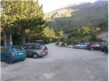
From Tolmin, drive towards Kobarid or vice versa, but only until you reach the point where the signs for Kamno direct you to the right (or left from Kobarid) across the bridge. Follow the relatively narrow and ascending road towards the village Vrsno and higher up Krn. From the village Krn, continue in the direction of the Hut at mountain pasture Kuhinja. When you reach a large parking lot, where the road continues slightly to the left towards Koča na planini Kuhinja, park in the large parking lot.
Path description:
From the parking lot, take the bottom left road towards the Hut at mountain pasture Kitchen. The path initially leads along a road that crosses lane of sparse forest, and then splits into two parts.
The right-hand path bypasses Koča na planini Kuhinja and is slightly shorter, while the left-hand path, which continues along the road, leads past the aforementioned hut.
A little above the hut, the two paths merge again, and we continue our ascent along the gently sloping path in the direction of Krn. The way ahead climbs initially gently, then occasionally more steeply, on grassy slopes, which are barred by grazing fences. The path, which crosses a worse mountain road a few times, leads us after about 40 minutes' walk to the old military hamlet of mountain pasture Slapnik.
The path then crosses the road a few more times, and then joins the path from the end of the road (the Zaslap mountain). The path then crosses slightly to the right in a moderate ascent on grassy slopes, and then again to the left to an unmarked fork in the path at an area called Leger. Continue right up (straight on the normal path to Krn) on a less visible but marked track, which initially climbs parallel to the normal path to Krn. A little higher up, a wide but rather overgrown path crosses the slopes of Krn to the east in a moderate ascent. A beautiful scenic route then leads to the base of the Krn notch. There is a ten-minute steep climb up a rocky slope to the Krn notch, where you encounter the remains of the World War. Here, continue along the right-hand path in the direction of Batognica (left Krn, straight down Krnsko jezero), which becomes technically demanding. The path leads us along an exposed path with steps on the precipitous southern slopes of Batognica. In wet or snow conditions there is a high risk of slipping. A few metres below the summit, however, the path is laid and leads us to the summit without any major problems.

Pictures:
 1
1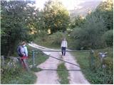 2
2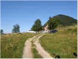 3
3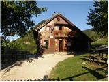 4
4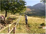 5
5 6
6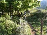 7
7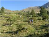 8
8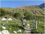 9
9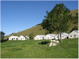 10
10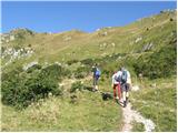 11
11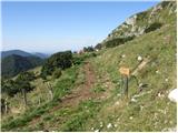 12
12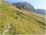 13
13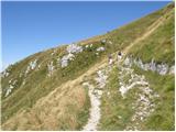 14
14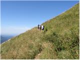 15
15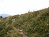 16
16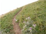 17
17 18
18 19
19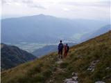 20
20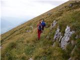 21
21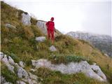 22
22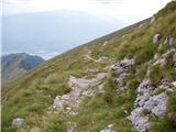 23
23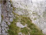 24
24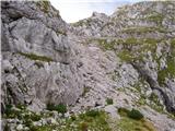 25
25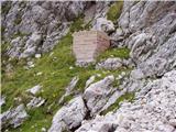 26
26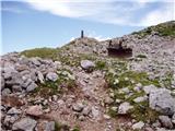 27
27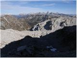 28
28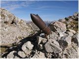 29
29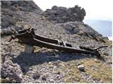 30
30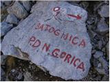 31
31 32
32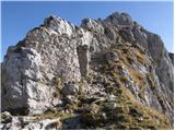 33
33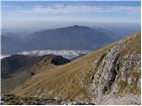 34
34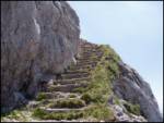 35
35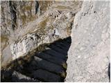 36
36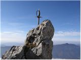 37
37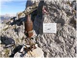 38
38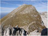 39
39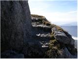 40
40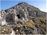 41
41 42
42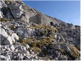 43
43 44
44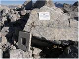 45
45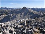 46
46
Discussion about the trail Planina Kuhinja - Batognica
|
| Guest27. 08. 2007 |
Predlagam, da se najprej povzpneš na Krn in potem sestop na Batognico, kjer si vzami čas za ogled kavern iz 1. sv. vojne. Pot nadaljuješ po grebenu Batognice po označeni poti, na vrhu se potem spustiš desno (smer Lužnica). Nadaljuješ mimo jezera Lužnica in potem za sedlom desno na planino Leskovca, od tam pa je še 5 min do parkirišča. Krožna pot vzame 6-7 ur.
|
|
|
|
| slavkola11. 07. 2011 |
Pot po okljukih do vrha Krna dokaj monotona. Raj za ljubitelje gorskega cvetja. Prebudi me prepadna stena Krna. Še malo in sem pri zavetišču. Kup Italijanov je prinesel vse s seboj. Konjiček ves utrujen počiva v senci. Kaverna nad zavetiščem polna smeti. Dijamant v blatu!Sramota! Zato pa pogled na drugi strani pri oknu jemlje dih. Kanin, Mangart, Jalovec, Škrlatica, Triglav. Vse žari! V daljavi se belijo Dolomiti. Na vrhu skupina Italijanov. Spust do škrbine. Batognica. Po stopnicah mi nasproti pride trop ovac. S strahom gledam ali bo katera padla dol. Neverjetne so! Prehodim vse kaverne. Šrapnel za spomin. Lunina pokrajina do jezera v Ložnici. Tišina. Povsem sam sem. Le okostje izgubljene ovce me pozdravi ob poti. Dve uri slišim le svoje korake in kavke. Kamniti možic visoko na levi me skrbo opazuje. Azurno jezero... Raj! Angeli v zraku? Ne, le roj jadralnih padalcev. Počitek in počasen spust po strmi pot navzol. En dan v nebesih,ki ga ne pozabiš!
|
|
|
|
| ales5018. 07. 2011 |
Italijani so pustili svoja življenja in cel kup železja poleg avstrijcev med soško fronto in še zdej se najde veliko tega ,kar ni odnešeno po muzejih,ja nekateri planinci res ne spoštujejo gora in puščajo smeti vsepovsod,ker to je le gora spoštovanja do gore same in v spomin na padle,kjer se je prelilo toliko krvi in se žal ljudje tega ne zavedajo,sebičnost ne pozna meja.
|
|
|