Planina Kuk - Vrh Planje (above Globoko)
Starting point: Planina Kuk (1150 m)
| Lat/Lon: | 46,2112°N 13,7872°E |
| |
Time of walking: 2 h 45 min
Difficulty: easy unmarked way
Altitude difference: 713 m
Altitude difference po putu: 713 m
Map: TNP 1:50.000
Recommended equipment (summer):
Recommended equipment (winter): ice axe, crampons
Views: 6.059
 | 2 people like this post |
Access to the starting point:
Between Most na Soči and Tolmin the road to Poljubinj branches off. From Poljubinj continue towards the village of Ljubinj, where after the church turn left towards mountain pasture Razor and Stador. The road leads to a parking area at mountain pasture Stador, where there is a mountain lodge nearby. We drive on to mountain pasture Lom and continue along the road following the signs mountain pasture Razor. At a height of 1150m you reach the mountain pasture Kuk, where there is a parking area. Further driving is forbidden.
Path description:
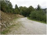
From the parking lot, continue along the road closed to traffic, which after a few dozen steps leads to the mountain pasture Kuk, where you can buy homemade dairy products (sour milk, cheese, cottage cheese) in the summer.
The road continues to climb steeply and after a while leads to the next ramp. After the ramp, the path goes into the wods and climbs almost insignificantly, and occasionally the path even descends slightly. After an hour's walk, the path leads us to mountain pasture Razor, where the mountain lodge is located.
From the hut, continue in the direction of Vogel along the gently sloping path to the next crossroads, where we turn right again in the direction of Vogel (left Tolmin Kuk). Here the path climbs moderately over a scenic slope and after a short climb leads us into the forest, where it continues for the next few minutes to the next crossroads.
Here continue left in the direction of "Globoko", right Vogel. The path climbs for a few minutes through the forest and then passes onto grassy slopes, which are sometimes covered with dwarf pines. Initially not very steep, the path climbs in switchbacks towards the ravine between Rušnati vrh and the top of Planje. In this part the path becomes steeper and more and more scenic. There is a short traverse to the right to the grassy slopes on which the path continues. Here the trail follows an old mulatier, which is now completely overgrown and many people no longer even notice that there is a mulatier here. Slightly higher up, the path leads us to a large military bunker and immediately afterwards to a small emergency bivouac (but it is locked - there are only benches inside). The path continues to climb a little more and after a few minutes leads us to Globoke.
Here we leave the marked path and head left up the less good path, which leads us to Vrh Planje in less than five minutes.
Starting point - mountain pasture Razor 1:00, mountain pasture Razor - Vrh Planje 1:45.

Pictures:
 1
1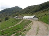 2
2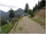 3
3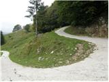 4
4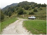 5
5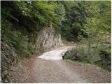 6
6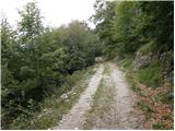 7
7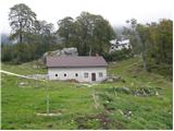 8
8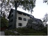 9
9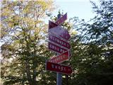 10
10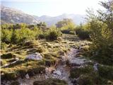 11
11 12
12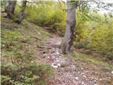 13
13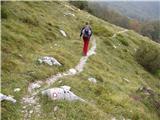 14
14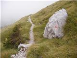 15
15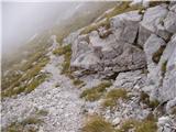 16
16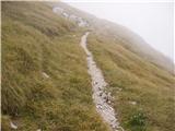 17
17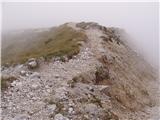 18
18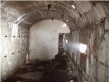 19
19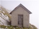 20
20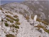 21
21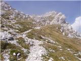 22
22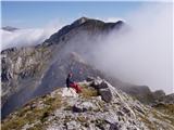 23
23
Discussion about the trail Planina Kuk - Vrh Planje (above Globoko)
|
| sAleska7. 07. 2020 |
Bivak je odprt. Da se prespat na dveh ožjih posteljah (klopeh) na katerih je podlaga za spanje, deke ...
|
|
|