Planina pod Golico - Koča na Golici (winter way)
Starting point: Planina pod Golico (980 m)
| Lat/Lon: | 46,4706°N 14,0599°E |
| |
Name of path: winter way
Time of walking: 1 h 30 min
Difficulty: partly demanding marked way
Altitude difference: 602 m
Altitude difference po putu: 602 m
Map: Karavanke - osrednji del 1:50.000
Recommended equipment (summer):
Recommended equipment (winter): ice axe, crampons
Views: 9.883
 | 1 person likes this post |
Access to the starting point:
From the motorway Ljubljana - Jesenice take the exit Lipce (also Hrušica) and follow the road in the direction of Jesenice, where the signs for Planina pod Golico direct us to the ascending road (the exit is marked and is located at the health centre in Jesenice). The relatively steep road soon leads us to the above-mentioned village, where in May, in the surrounding meadows, you can admire the bloming of daffodils. With Mountain pasture under Kahlkogel, drive on to the next crossroads, where you will see a number of mountain signposts. Here, continue right and drive another 50m to the parking lot under the Sava Caves.
Path description:
At the beginning of the parking lot, you will see mountain signs directing you left up the asphalted road. After a short climb, the path leads us to the Betel agritourism farm and beyond to a crossroads where we continue right in the direction of Golice. After a few more minutes of walking along the road, you will reach the cottage at Fenec. Pay attention here, as just a few steps further on, a wide marked path branches off to the right, leading to Golica.
The way forward is to climb over a short meadow behind which we come to the forest through which it continues. After about half an hour's walk, you will come out on a macadam road, which you follow to the right, but only as far as the bottom station of the gods cableway.
At the bottom station of the cable car, you will see a signpost with the words 'winter trail', which directs you slightly left into the wods (slightly right is the normal summer trail). The trail continues on, climbing cross-country, before entering a lane of sparse wodland, where it crosses a short, gently sloping hillside. The path then passes into a gully which is followed for only a short time, as the markings soon direct us to the left onto a steep vegetated slope. After a few minutes of ascent the steepness eases and the path leads us to a side ridge where it turns right. We continue to climb along the ridge, which later drops even slightly and then leads us to a steep jump. Up to the middle of this jump, climb straight up the slope, and then you have two options for continuing; you can either climb slightly to the right on the exposed shelf (risk of slipping) or continue straight on the steep, partly rocky slope (both routes are prone to avalanche and slipping).
Only slightly higher up, the paths merge again and then lead us up the increasingly scenic slope to the huts on Golica.

Pictures:
 1
1 2
2 3
3 4
4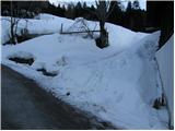 5
5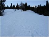 6
6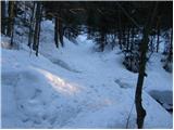 7
7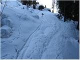 8
8 9
9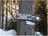 10
10 11
11 12
12 13
13 14
14 15
15 16
16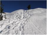 17
17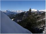 18
18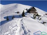 19
19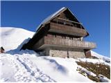 20
20
Discussion about the trail Planina pod Golico - Koča na Golici (winter way)
|
| marezt8. 01. 2018 |
Je kdo zadnje dni hodil tukaj?
|
|
|
|
| trdi9. 01. 2018 |
Jaz sem bil gor 7.1.2018. Od spodnje postaje žičnice sta bili shojeni tako letna kot zimska pot. Šel sem po zimski, ki je bila shojena kar dobro, vendar se je sneg zaradi visokih temperatur kar dobro udiral. Vseeno je šlo lepo brez derez ali krpelj, le zadnji del tik pred kočo, tam ko je par klinov, je bil kar malce nevaren, saj ti je lahko v južnem snegu mimogrede spodrsnilo. No, nazaj grede sem si za ta del nadel dereze (male). Od koče sem se sicer najprej hotel spustiti po letni poti, pa je od koče do začetka gozda precej naplazenega snega, tako da se mi je že takoj od koče udrlo do pasu, zato sem pač šel tudi nazaj dol po zimski poti.
|
|
|