Planina pod Golico - Španov vrh
Starting point: Planina pod Golico (980 m)
| Lat/Lon: | 46,4624°N 14,0488°E |
| |
Time of walking: 1 h 15 min
Difficulty: easy unmarked way
Altitude difference: 354 m
Altitude difference po putu: 354 m
Map: Karavanke - osrednji del 1:50.000
Recommended equipment (summer):
Recommended equipment (winter):
Views: 22.050
 | 3 people like this post |
Access to the starting point:
From the motorway Ljubljana - Jesenice take the exit Lipce (also Hrušica) and follow the road in the direction of Jesenice, where the signs for Planina pod Golico direct us to the ascending road (the exit is marked and is located at the health centre in Jesenice). The relatively steep road soon leads us to the above-mentioned village, where in May, in the surrounding meadows, you can admire the bloming of daffodils. Park in one of the car parks at the foot of the Španov vrh ski centre.
Path description:
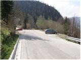
From the parking lot continue along the asphalted road, which after a few minutes walk leads us to a marked crossroads, where we continue to the right in the direction of Španov vrh and the Črni vrh ski lodge (left Rosenbachsattel, straight Golica). The road on which we continue our climb crosses a stream and leads us only a few steps further to an unmarked crossroads, where we continue on the left on an increasingly steep road. The road, which climbs past individual holiday homes and along which we see rare and faded markings, climbs steeper and steeper and leads us to a place where we cross a ski slope.
The steepness then soon eases and the increasingly scenic route, which passes through numerous meadows, quickly leads us to the Črni vrh ski lodge.
From the ski lodge, continue slightly left in the direction of Pristava. After a short climb, the less well-marked path leads us to the intermediate station of the single-seater Španov vrh.
Continue right along the edge of the initially sloping ski slope, then signs direct you right onto the ascending cart track, which climbs mostly through sparse forest.
Higher up, you will see a sign for Španov vrh, which directs you left, onto a path that climbs past a number of holiday cottages. Further on, the path briefly dips and leads us out of the forest onto the panoramic slopes of Španovy vrh. After a few more steps, you reach the edge of the ski slope, which takes you up to Španov vrh in a few minutes of slightly steeper ascent.

Pictures:
 1
1 2
2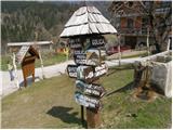 3
3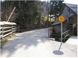 4
4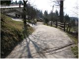 5
5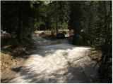 6
6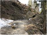 7
7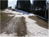 8
8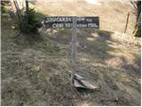 9
9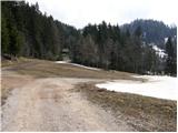 10
10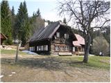 11
11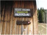 12
12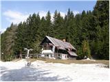 13
13 14
14 15
15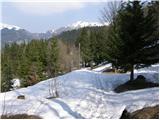 16
16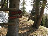 17
17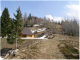 18
18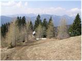 19
19 20
20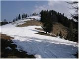 21
21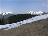 22
22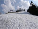 23
23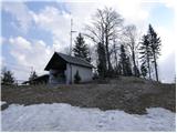 24
24
Discussion about the trail Planina pod Golico - Španov vrh
|
| Edina28. 04. 2014 |
Na tale lep sprehod sem se danes podala, nadaljevala sem proti Zavetišču GRS in mimo Križovca in Savskih jam sestopila nazaj na Planino pod Golico. Mogoče je za koga pomembno, da je cesta s Planine pod Golico proti Križovcu še neprevozna, z Javorniškega rovta do Križovca pa je že prevozna. Kako je s smeri Prihodov pa ne vem. Nekaj utrinkov s poti http://stezeinsledi.blogspot.com/2014/04/spanov-vrh_28.html
|
|
|
|
| Jusk1. 06. 2020 |
Pot sem začel spodaj v dolini,iz Murove mimo Zgornjih Pejc na Prihode,potem del poti do parkirišča pod žičnico po cesti,malo pred tem parkiriščem gre neoznačen kolovoz gor proti smučišču,sčasoma se izgubi ker postane zelo zaraščen. Nekaj minut po brezpotju naravnost gor in se pride do doma na Črnem vrhu,potem pa je samo še malo do vrha  na Španovem vrhu in okolici se še vedno najde kar nekaj cvetočih narcis 
|
|
|
|
| di1. 12. 2024 16:51:18 |
Osvojila sva tudi Triglavček.
Večinoma je pristop kopen, zadnji metri so brezpotje.
Z vrha, s prednovoletno jelko, je lep pogled tudi na Golico.
Pot na Španov vrh pa je neoznačena markirana pot (če greš po cesti, drugače pa je brezpotje).
Tudi tokrat sva se lovila z iskanjem poti oziroma sva zato hodila "naokrog". Uporabljala sva tudi zemljevid PZS v merilu 1 : 25.000, ki pa ni vreden za podrobnejšo uporabo (služi očitno predvsem tistim, ki jih zanima, kje so večini znani vrhovi, npr. Stol, Golica), saj ima kljub natančnejšemu merilu preveč praznih lis kljub obstoječim vrhovom (da o dejanskih nevrisanih poteh ne govoriva).
Uradni planinski smerokaz navaja 0,5h na Črni vrh (najvišji vrh v okrožju Španovega vrha), dejansko potrebujete še okrog 1h več (če ne zgrešite odcepa).
Trenutne razmere: Za bolj brezskrbno hojo po cesti (brez zdrsov in padca), sploh pri spuščanju, priporočava dereze.
|
|
|
|
| Majdag29. 11. 2025 10:02:24 |
26.11.--Planina pod Golico - GRS - Španov vrh, krožna pot... Pohodniki DU Jav. Kor. Bela smo se podali proti Španovem vrhu. Pred strmim vzponom na vrh smo ubrali pot na levo. Je lepa, se polagoma vzpenja in nas privede do postaje GRS. Tam je kakšnih 20 cm snega in vzdušje je prav zimsko. Potem smo se spustili po pobočju in kmalu smo bili na Španovem vrhu. Krasno potepanje in fajn družba. Pa srečno.  https://jelenkamenmajdag.blogspot.com/2025/11/na-spanov-vrh-krozna-pot.html https://jelenkamenmajdag.blogspot.com/2025/11/na-spanov-vrh-krozna-pot.html
|
|
|