Planina Polog - Mrzli vrh above Planina Pretovč
Starting point: Planina Polog (457 m)
| Lat/Lon: | 46,2373°N 13,7223°E |
| |
Time of walking: 2 h 45 min
Difficulty: easy marked way
Altitude difference: 902 m
Altitude difference po putu: 950 m
Map: Julijske Alpe - zahodni del 1:50.000
Recommended equipment (summer): lamp
Recommended equipment (winter): ice axe, crampons, lamp
Views: 13.884
 | 1 person likes this post |
Access to the starting point:
First, go to Tolmin, and from there follow the road in the direction of Zatolmin (leave the main road at the traffic lights). In Zatolmin, you will see the mountain signs for Javorca, which will direct you to the ascending road towards Javorca. After about 8 km of driving, the sometimes quite narrow and sometimes precipitous road leads us to a small crossroads where the road to Javorca branches off to the left upwards. Turn left here and follow the road for another 100 m to a marked parking area.
Path description:
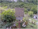
From the parking lot, continue along the paved road, which quickly enters the forest and starts to climb steeply. After about 15 minutes of walking, the forest thins out and the road turns sharp right. A few minutes of walking along the edge of the pastures and the road leads to the Church of the Holy Spirit in Javorca.
Go around the church on the left and continue along the wide and at first winding cart track, which quickly turns into a forest. Here, the roar of the waterfall of the Peščak stream can be heard below us on the left, and we continue along the marked path (kolovoz), which crosses the aforementioned stream higher up via a bridge. We continue up a moderately steep track, which continues partly through the forest and partly through dense bushes and brambles. Higher up, we cross another of the numerous grazing fences and the path leads us to mountain pasture Črč, on which there are a few old huts.
Just before the huts on mountain pasture, the markers for mountain pasture Sleme, Medrje and Laška seč direct us slightly to the left, where we climb through tall grasses to an indistinct ridge along which a grazing fence runs. Continue climbing along the grazing fence, then the path enters a dense forest, where it climbs steeply for a short distance to a water trough. Here the path turns slightly to the right, where after a few 10 steps it leads to the next pasture fence. Cross the grazing fence and walk to the huts at mountain pasture Laška seč.
Above mountain pasture the path goes into the woods and continues along a wide track. A little higher up, you come out of the forest, and just a few metres after crossing a pasture fence, we continue left along a less visible and poorly marked path. The path joins the track higher up and leads us only a few metres further to the shepherd's hut at mountain pasture Medrja.
From the hut at mountain pasture, ascend cross-country to the left, where you quickly reach a poorer forest road. Follow the road to the left, and after an initial slight ascent, it gradually begins to descend gently. A little further on, we reach a crossroads where the road continues to the right towards mountain pasture Sleme, and we continue down to the left where, after a few steps, we join the marked path from the village of Krn. There is a short descent down the road to a marked crossroads on a small pass, where we continue right in the route Mrzli vrh. The way forward leads us past an information board, after which we quickly reach the shepherd's hut at mountain pasture Pretovč. With mountain pasture, continue along the marked route in the route Mrzli vrh. From the shepherd's hut, the path climbs a prominent grassy ridge, then turns left at a slightly higher altitude, where it crosses a short scraggy slope. Onwards, through low scrub and with fine views of the surrounding countryside, you quickly climb up to the old Austrian cavern, where today there is a small memorial park, beautifully landscaped. If you have a torch, you can also see the inside of two caverns, one of which has a beautifully preserved altar.
From the memorial park, continue to the left and cross a strip of woodland and climb uphill. Once out of the woods, cross a short, slightly steeper grassy slope before the path turns right and leads to the main ridge Mrzli vrh, which takes a few minutes to reach the summit of the lookout.

Pictures:
 1
1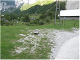 2
2 3
3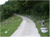 4
4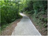 5
5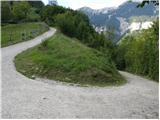 6
6 7
7 8
8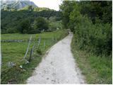 9
9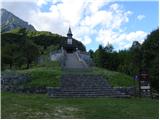 10
10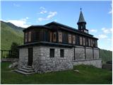 11
11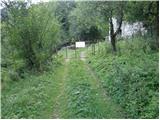 12
12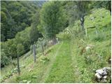 13
13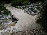 14
14 15
15 16
16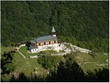 17
17 18
18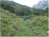 19
19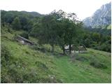 20
20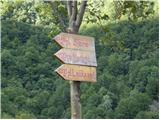 21
21 22
22 23
23 24
24 25
25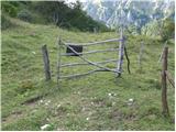 26
26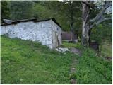 27
27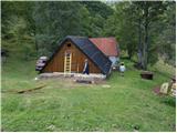 28
28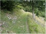 29
29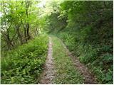 30
30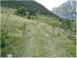 31
31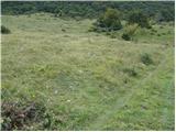 32
32 33
33 34
34 35
35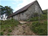 36
36 37
37 38
38 39
39 40
40 41
41 42
42 43
43 44
44 45
45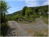 46
46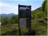 47
47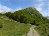 48
48 49
49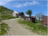 50
50 51
51 52
52 53
53 54
54 55
55 56
56 57
57 58
58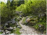 59
59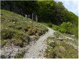 60
60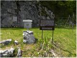 61
61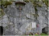 62
62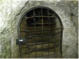 63
63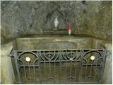 64
64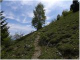 65
65 66
66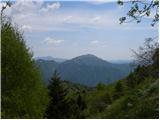 67
67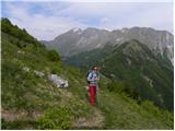 68
68 69
69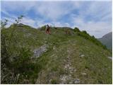 70
70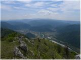 71
71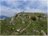 72
72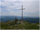 73
73 74
74
Discussion about the trail Planina Polog - Mrzli vrh above Planina Pretovč
|
| darinka410. 02. 2017 |
Zanimiva je ta pot. No jaz sem šla iz vasi Krn. Bom pa šla še enkrat , ko bo sneg skopnel. Označena je kot pot miru. Boji so bili tu med prvo sv. vojno.Zgodovinska obeležja, smerokazi. Sploh lepo urejena pot.Sem bila nekoliko presenečena, da je nasulo toliko snega od planine Pretovč proti vrhu, čeprav ni visoko. In pa , da sem se morala obrnit skoraj pod vrhom.Enostavno se je težko hodilao. Sneg sem kljub gamašem imela v čevljih.Preveč ga je bilo. Mi je bilo kar malo žal, da se ni izšlo v tej samoti do vrha, ker se je potem nebo razjasnilo.
|
|
|
|
| ločanka11. 02. 2017 |
darinka4, kje pa parkiraš?
|
|
|
|
| darinka411. 02. 2017 |
Parliraš na parkirnem na koncu vasi Krn.
|
|
|
|
| B212. 02. 2017 |
Ja, koncev vasi Krn je več in težko je parkirati, ko pa je vse "pakonc" postavljeno...
Sem v drugem forumu (Mrzli vrh 1359m) opisal kje se lahko parkira.
|
|
|