Planina Polog - Planina Dobrenjščica
Starting point: Planina Polog (457 m)
| Lat/Lon: | 46,238°N 13,7232°E |
| |
Time of walking: 2 h 45 min
Difficulty: easy marked way
Altitude difference: 847 m
Altitude difference po putu: 850 m
Map: Julijske Alpe - zahodni del 1:50.000
Recommended equipment (summer):
Recommended equipment (winter): ice axe, crampons
Views: 8.927
 | 1 person likes this post |
Access to the starting point:
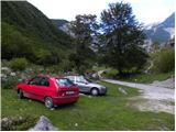
First, go to Tolmin, and from there follow the road in the direction of Zatolmin (leave the main road at the traffic lights). In Zatolmin, you will see the mountain signs for Javorca, which will direct you to the ascending road towards Javorca. After about 8 km of driving, the sometimes quite narrow and sometimes precipitous road leads us to a small crossroads where the road to Javorca branches off to the left upwards. We continue straight ahead, following the road for only about 100 m, where we then park at a suitable place next to the ramp.
Path description:
From the starting point, continue along the dirt road (the road is closed to public traffic), which after a few minutes of easy walking leads to the central part of mountain pasture, where there are a few huts. After mountain pasture, the road gets a little worse, but after a few minutes of further walking, it leads to a crossroads where the path to mountain pasture to Prodih branches off to the right (the access to mountain pasture is very interesting, as you have to cross the river Tolmin, which is facilitated by a hand-carried cable car). Continue straight ahead, and the road eventually turns into cart track and higher up into a well-preserved mulatier. The path then becomes a little steeper and leads past two benches and a fresh rock peak higher up (earthquake in Posočje 1998) to a pasture fence, over which you enter the southern edge of mountain pasture below Osojnica. Just a few metres further on, the path splits into two parts. Continue along the lower right path, which descends gently to the hunting hut at the spring Tolmin.
From the source of the Tolminka River, we continue our ascent through the mountain pasture below Osojnica, and the upper path, which is exposed to an active rocky peak, soon joins us from the left.
Continue in the direction of "Planina Prode in Prehodci" along the path which leads us to a mighty torrent where there is a crossroads again.
At the crossroads, continue to the right, following the signs for "Planina Prode", and cross the broad channel of the torrent at the dam. On the other side of the riverbed is another crossroads. This time continue to the left and the path to the right leads to Mountain pasture Prode. The path then leads through the forest parallel to the torrent bed for a short distance, then turns right and starts to climb. Later, the path leads us to a small clearing, and then begins to climb a little more steeply through the forest. We continue to climb for some time in keys through the forest. Higher up, the forest becomes a little thinner in some sections and more and more beautiful views begin to open up. The path then turns to the right and crosses the slopes to the south-east as it climbs. Out of the forest we reach slopes slightly overgrown with nettles and bushes and then the last climb to the hunting hut on Planina Dobrenjščica (aka Dobrenšca).

Pictures:
 1
1 2
2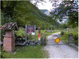 3
3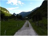 4
4 5
5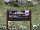 6
6 7
7 8
8 9
9 10
10 11
11 12
12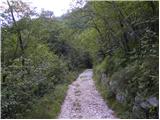 13
13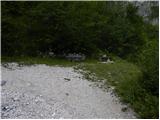 14
14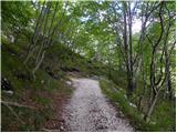 15
15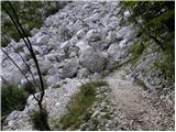 16
16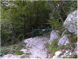 17
17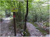 18
18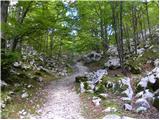 19
19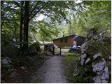 20
20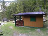 21
21 22
22 23
23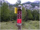 24
24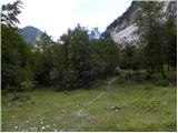 25
25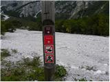 26
26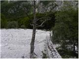 27
27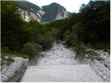 28
28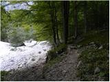 29
29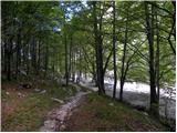 30
30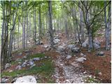 31
31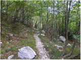 32
32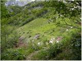 33
33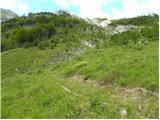 34
34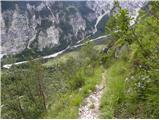 35
35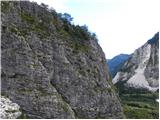 36
36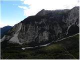 37
37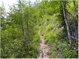 38
38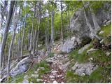 39
39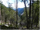 40
40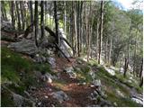 41
41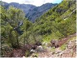 42
42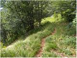 43
43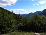 44
44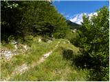 45
45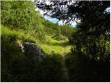 46
46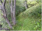 47
47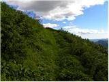 48
48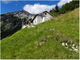 49
49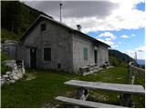 50
50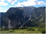 51
51
Discussion about the trail Planina Polog - Planina Dobrenjščica
|
| Bizy10. 04. 2011 |
Kot vedno so malo manj obiskane ali če hočete manj opevane poti tudi krasne. To je ena izmed njih. Ob sobotnem že skoraj vročem vremenu (na trenutke je rahel vetrič lepo hladil) je bila tam gori ena sama idila.
|
|
|
|
| zwbgr3. 11. 2022 18:38:00 |
Iz sosednjega brega je vidna stezica, ki gre iz Planine Prode po očitno prehodni grapi na Dobrenjščico. A kdo ve, kje se steza odcepi? Odcep sem že 2x neuspešno iskal iz poti Pl. Prode - izvir Tolminke.
|
|
|
|
| lojze18253. 11. 2022 19:17:10 |
S pl. Prode greš direkt mimo stavb nekako vzporedno s Tolminko oz. potjo do izvira in malo naprej mimo vodnega zajetja. Potem prečiš strugo kjer se potka izgubi in greš malo za nosom, a pomagajo možici, držiš se desno. Višje se spet pojavi stezica. V grapo, ki je dober orientir, moramo priti z desne gledano gor. Ko prideš enkrat do grape naprej ni več nekih težav. Opis imaš tudi v vodničku Brezpotja pod turo Mahavšček.
|
|
|
|
| mirank3. 11. 2022 19:55:45 |
Sicer smo tam sestopali z Dobrenjščice-sledljiva stezica, a mislim, da smo grapo samo prečili dokaj blizu nad planino-po njej se nismo spuščali. Tura se nam je malce razvlekla zaradi napake že v startu; namreč ko prečiš prodišče sl 26,27 v zg opisu, se levo odcepi steza za Prehodce in zg Prode (tam je lovska koča). Na hitro pogledano je identična sl 30 in to nas je zavedlo, tako da smo se na Dobrenjščico potem povzpeli prek Prehodcev.
Tisti odcep-sl 30 je kakih 5min naprej od odcepa za Prehodce v smeri pl Prode, ko prečiš drugo malo ožje prodišče.
|
|
|