Planina Polog - Source of Tolminka
Starting point: Planina Polog (457 m)
| Lat/Lon: | 46,238°N 13,7232°E |
| |
Time of walking: 1 h
Difficulty: easy marked way
Altitude difference: 238 m
Altitude difference po putu: 238 m
Map: Julijske Alpe - zahodni del 1:50.000
Recommended equipment (summer):
Recommended equipment (winter):
Views: 41.478
 | 3 people like this post |
Access to the starting point:
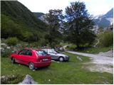
First, go to Tolmin, and from there follow the road in the direction of Zatolmin (leave the main road at the traffic lights). In Zatolmin, you will see the mountain signs for Javorca, which will direct you to the ascending road towards Javorca. After about 8 km of driving, the sometimes quite narrow and sometimes precipitous road leads us to a small crossroads where the road to Javorca branches off to the left upwards. We continue straight ahead, following the road for only about 100 m, where we then park at a suitable place next to the ramp.
Path description:
From the starting point, continue along the dirt road (the road is closed to public traffic), which after a few minutes of easy walking leads to the central part of mountain pasture, where there are a few huts. After mountain pasture, the road gets a little worse, but after a few minutes of further walking, it leads to a crossroads where the path to mountain pasture to Prodih branches off to the right (the access to mountain pasture is very interesting, as you have to cross the river Tolmin, which is facilitated by a hand-carried cable car). Continue straight ahead, and the road eventually turns into cart track and higher up into a well-preserved mulatier. The path then becomes a little steeper and leads past two benches and a fresh rock peak higher up (earthquake in Posočje 1998) to a pasture fence, over which you enter the southern edge of mountain pasture below Osojnica. Just a few metres further on, the path splits into two parts. Continue along the lower right path, which descends gently to the hunting hut at the source of the Tolminka River.

We can extend the trip to the following destinations: Planina Dobrenjščica (1 h 45 min),
Kser (3 h 30 min),
Vrh Škrli (3 h 35 min),
Velika Montura (4 h 30 min),
Vrh Planje (4 h 30 min),
Bogatin (4 h 45 min),
Mahavšček,
Velika Baba (4 h 40 min),
Tolminski Kuk (5 h 15 min),
Batognica (5 h),
Vrh nad Peski (4 h 25 min),
Krn (5 h 45 min)
Pictures:
 1
1 2
2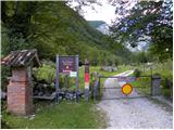 3
3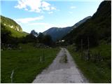 4
4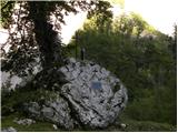 5
5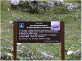 6
6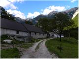 7
7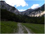 8
8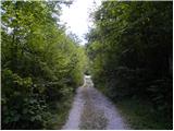 9
9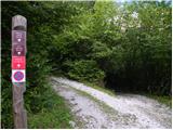 10
10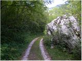 11
11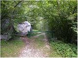 12
12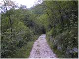 13
13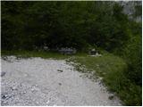 14
14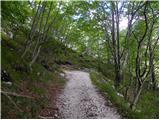 15
15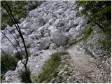 16
16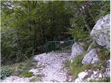 17
17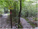 18
18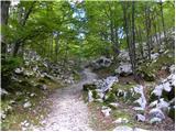 19
19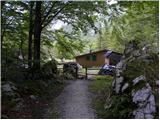 20
20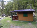 21
21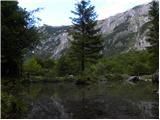 22
22
Discussion about the trail Planina Polog - Source of Tolminka
|
| Carpinus6. 07. 2013 |
Morda kdo ve v kakšnem stanju je cesta od Tolmina do planine Polog ? Mislim predvsem če je precej razrita od dežja za avtomobil.
|
|
|
|
| lukec 115. 06. 2014 |
Super izlet,nazaj čez planino na Prodih 
|
|
|
|
| franci na balanci17. 07. 2015 |
Zanima me, ali je cesta do parkirišča pod Javorco prevozna za 20-sedežni avtobus?
|
|
|
|
| tine.sl17. 07. 2015 |
Cesta je sigurno prevozna tudi za večji avtobus, saj je sorazmerno široka.
Nevem pa če ima kakšno uradno prepoved za večja vozila vendar mislim da za 20 sedežni avtobus ni problema.
|
|
|
|
| matzaj1. 11. 2015 |
Ali je cesta po septemberskem plazu že odprta?
|
|
|
|
| sh2. 11. 2015 |
V soboto je bila uradno zaprta, sedaj naj bi bil še en podor pod cesto. Tudi cerkev na Javorci je zaprta.
|
|
|