Planina Polog - Vrh nad Peski (via Prehodci)
Starting point: Planina Polog (457 m)
| Lat/Lon: | 46,238°N 13,7232°E |
| |
Name of path: via Prehodci
Time of walking: 5 h 25 min
Difficulty: easy unmarked way
Altitude difference: 1719 m
Altitude difference po putu: 1790 m
Map: Julijske Alpe - zahodni del 1:50.000
Recommended equipment (summer):
Recommended equipment (winter): ice axe, crampons
Views: 7.873
 | 1 person likes this post |
Access to the starting point:
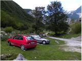
First, go to Tolmin, and from there follow the road in the direction of Zatolmin (leave the main road at the traffic lights). In Zatolmin, you will see the mountain signs for Javorca, which will direct you to the ascending road towards Javorca. After about 8 km of driving, the sometimes quite narrow and sometimes precipitous road leads us to a small crossroads where the road to Javorca branches off to the left upwards. We continue straight ahead, following the road for only about 100 m, where we then park at a suitable place next to the ramp.
Path description:
From the starting point, continue along the dirt road (the road is closed to public traffic), which after a few minutes of easy walking leads to the central part of mountain pasture, where there are a few huts. After mountain pasture, the road gets a little worse, but after a few minutes of further walking, it leads to a crossroads where the path to mountain pasture to Prodih branches off to the right (the access to mountain pasture is very interesting, as you have to cross the river Tolmin, which is facilitated by a hand-carried cable car). Continue straight ahead, and the road eventually turns into cart track and higher up into a well-preserved mulatier. The path then becomes a little steeper and leads past two benches and a fresh rock peak higher up (earthquake in Posočje 1998) to a pasture fence, over which you enter the southern edge of mountain pasture below Osojnica. Just a few metres further on, the path splits into two parts. Continue along the lower right path, which descends gently to the hunting hut at the spring Tolmin.
From the source of the Tolminka River, we continue our ascent through the mountain pasture below Osojnica, and the upper path, which is exposed to an active rocky peak, soon joins us from the left.
Continue in the direction of "Planina Prode in Prehodci" along the path which leads to a mighty torrent. Cross the torrent and on the other side continue to the left in the direction of Prehodci (slightly to the right, the Dobrenjščica mountain). Continue climbing along the well-preserved military causeway, which you can leave a few times, as the marked path runs along "shortcuts". The taller bushes and grass are slowly replaced by rubble, and the path turns more and more to the left. A little higher, we reach again the mighty torrential ravine, which here already meets the nearby scree, falling from the nearby Maly and Veliki Kuntar.
Here, an unmarked path branches off to the left across a mighty torrent, leading to mountain pasture Lašča and on to Rdeči rob and Male peske, while we continue to the right along a marked path that gradually turns into a dense forest. The mulatiera then climbs in numerous serpentines and continues through the forest for some time. As the forest thins out, the path turns increasingly to the right, where it leads to steep slopes and views. Over the artificial and wide shelf, we are helped by a rope, which comes in handy at a time when there is still snow on the shelf (in the land, the crossing is quite easy). The path continues to climb moderately once more and leads us in a few minutes to a marked crossroads at Prehodci. Continue left in the direction of Krno (Bogatinsko sedlo and Razor mountain on the right) and follow the gently sloping and scenic route. A little further on, another path from Krnsko jezero joins us from the right, and we continue in the same direction. The way forward leads us out of the plateau area and back onto the steep eastern slopes, from which we have a fine view of the Tolmin side (the area is called Na Tminskem). The path then turns slightly to the right and gradually leads us into a small valley in the high mountains. Here it begins to climb steeply and after about 20 minutes of further walking leads us to a large memorial to the fallen in World War I.
Here, continue to the right along the marked path, which crosses the foothills of Mali Peskov. Higher up, the path leads to a number of WW1 remains, and then climbs a little further to reach a small saddle between Mali Peski and Vrh nad Peski (and a little further to the right is Veliki Peski). Continue on the marked path, from which an unmarked path soon branches off to the right to Vrh nad Peski (direction "V. Peski"). The way ahead climbs in a few minutes to a small grassy saddle, and then continues on an increasingly scenic and occasionally quite steep path. This scenic and relatively steep path is then followed all the way to Vrh nad Peski, which is reached after a few minutes of further walking.

Pictures:
 1
1 2
2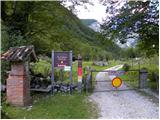 3
3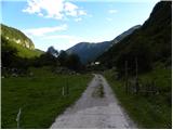 4
4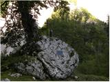 5
5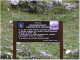 6
6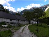 7
7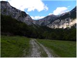 8
8 9
9 10
10 11
11 12
12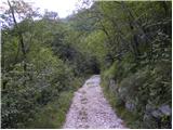 13
13 14
14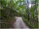 15
15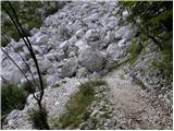 16
16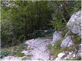 17
17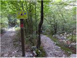 18
18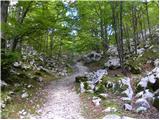 19
19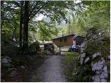 20
20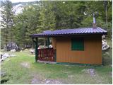 21
21 22
22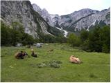 23
23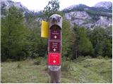 24
24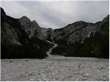 25
25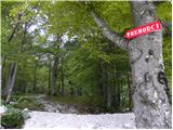 26
26 27
27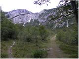 28
28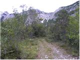 29
29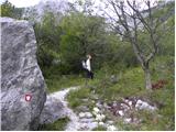 30
30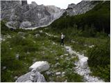 31
31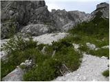 32
32 33
33 34
34 35
35 36
36 37
37 38
38 39
39 40
40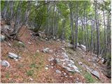 41
41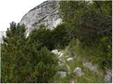 42
42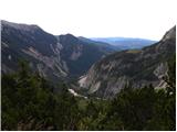 43
43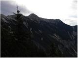 44
44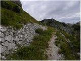 45
45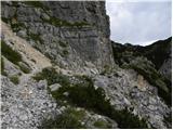 46
46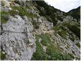 47
47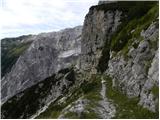 48
48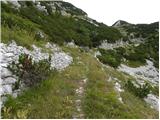 49
49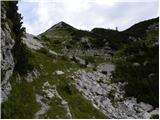 50
50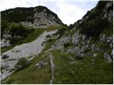 51
51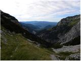 52
52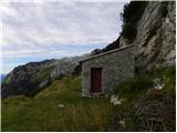 53
53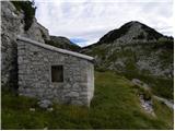 54
54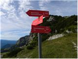 55
55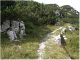 56
56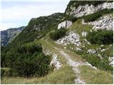 57
57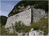 58
58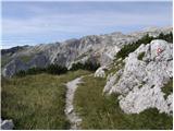 59
59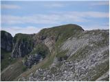 60
60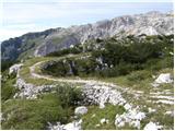 61
61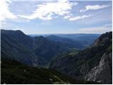 62
62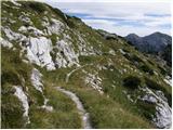 63
63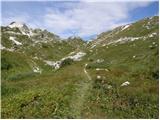 64
64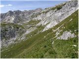 65
65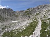 66
66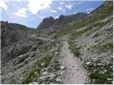 67
67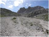 68
68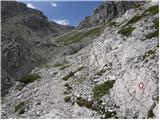 69
69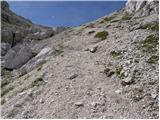 70
70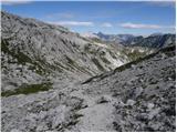 71
71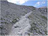 72
72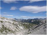 73
73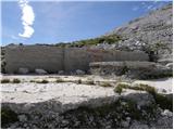 74
74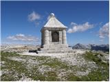 75
75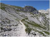 76
76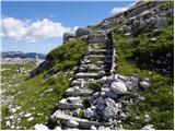 77
77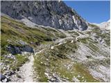 78
78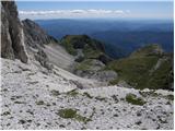 79
79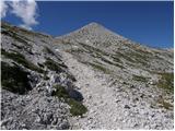 80
80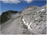 81
81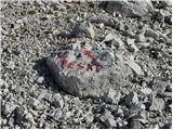 82
82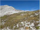 83
83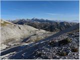 84
84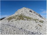 85
85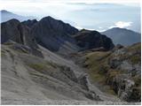 86
86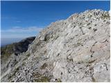 87
87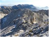 88
88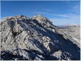 89
89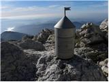 90
90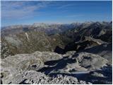 91
91
Discussion about the trail Planina Polog - Vrh nad Peski (via Prehodci)
|
| mirank15. 06. 2011 |
Pot se lepo krožno zaključi s povratkom preko jezera v Lužnici in planine Sleme. Sicer je meni za vzpon bolj pri srcu varianta preko planine Lašce (glej omenjen odcep nad planino zg Prodi- nemarkirano!) ki se z zgoraj opisano potjo sreča pri spomeniku iz 1. svet vojne. Vse skupaj je kar konkretna tura ravno prav za en dan. Pripomnil bi še rad, da za sestop s planine Sleme ni nobene potrebe prečiti zah pobočja Visočega vrha, saj vodi pastirska steza s pl Sleme direktno na pl Medrja po vzh pobočju.
|
|
|