Planina Ravne - Chapel on Molička planina (via Zelene trate)
Starting point: Planina Ravne (1580 m)
| Lat/Lon: | 46,3574°N 14,7002°E |
| |
Name of path: via Zelene trate
Time of walking: 2 h
Difficulty: easy marked way
Altitude difference: 200 m
Altitude difference po putu: 475 m
Map: Kamniške in Savinjske Alpe 1:50.000
Recommended equipment (summer):
Recommended equipment (winter): ice axe, crampons
Views: 57.841
 | 3 people like this post |
Access to the starting point:
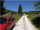
a) First drive to Kamnik, then continue to Stahovica and the Črnivec Pass. A few 100 metres before the Črnivec Pass, leave the main road leading to Gornji Grad and drive sharp left in the direction of the Volovljek Pass (Kranjski Rak). From the above-mentioned pass, continue straight ahead (on the left the road leading to Velika planina, on the right the Štajerski Rak) and start descending towards Luče. Lower down, the road bends slightly and leads to the Podvolovljek valley. Continue past the road leading to the Lučka Bela valley and then past the bar at Gams. After the bar, pay attention, because just a few 100 metres further on, a road branches off to the left, leading to mountain pasture Podveža and mountain pasture Ravne and the Planinšek farm (at the point where you leave the main road, the road marking is approximately 11 km). Continue along the initially still asphalted road, which climbs further towards the Dleskovská plateau. Higher up, the road to Planinšek branches off to the right, and here we continue along the upper left road, which a few 100 metres further on from the turnoff to the Planinšek farm becomes macadam, and this road leads us a little further on to the next crossroads, where we continue straight on in the direction of mountain pasture Ravne (to the left, mountain pasture Podveža). Continue on a slightly less favourable road, then follow to the start of mountain pasture Ravne, where you park in a suitable place on the roadside.
From the main road to mountain pasture Ravne is about 10 km, of which about 4 km are macadam.
b) First drive to Luce, then continue driving towards Kamnik. When you see the road sign by the side of the road indicating 10,5 km, pay attention to the right fork, as just a little further on the road will branch off to the right towards mountain pasture Podveža and Ravne and the Planinšek farm. Continue along the initially still asphalted road, which climbs further towards the Dleskovški plateau. Higher up, the road to Planinšek branches off to the right, and here we continue along the upper left road, which a few 100 metres further on from the turn-off to Planinšek Farm becomes macadam, and this road leads us a little further on to the next crossroads, where we continue straight on in the direction of mountain pasture Ravne (to the left of mountain pasture Podveža). The road to the right is the road to Planinšek Farm, and the road to Planinšek Farm becomes macadam. Continue on a slightly less favourable road, then follow to the start of mountain pasture Ravne, where you park in a suitable place on the roadside. From the main road to mountain pasture Ravne is about 10 km, of which about 4 km are macadam.
Path description:
From the starting point, walk via mountain pasture to the shepherd's hut, which you go around on the right by continuing in the direction of Molička mountain pasture and mountain pasture Polšak (the path on the left side of the hut leads across the Dolgo trata). After the hut the path is a bit harder to follow at first, but the markings help us, and a little further on we join the cart track, which branches off the road on the mountain pasture straight at a right-hand bend.
Once on cart track, continue left, initially walking without any significant change in elevation, and then starting a gentle to moderate climb. After a few minutes, you will reach a faint saddle between Dleskovec on the left and Smrekovec on the right. Here a path joins us from the end of the road on the right, and we continue straight ahead over a pasture fence. After the grazing fence there is a short crossing, and then we arrive at the next marked crossroads, where we continue to the left in the direction of Lučka hut, straight mountain pasture Polšak.
The way forward continues in a series of several small valleys, and then leads us to the NOB memorial, next to which there are two benches with a table. From here on, the path climbs slightly steeper, and slightly higher up, the first beautiful views towards Križevnik, Raduha and the surrounding mountains open up. Higher up, we climb moderately for a while through the dwarf pines bands, and then the trail lays down and leads us to Sedelce, where the trail over the Long Lawn joins us from the left.
Continue a few metres further along the path, which descends gently to the marker for Molička mountain pasture and Korošica.
Continue straight ahead towards Korošica and Molička mountain pasture (Velika vrh on the right) on a path that gently descends from time to time and then rises again. The path continues round the slopes of Velika peak and leads to a crossroads where a path branches off to the right up to the summit. Here we continue straight on the path, which leads us only slightly further to the Prag preval, where the next crossroads is. Continue straight ahead (sharp left mountain pasture Podveža) along the marked mountain path, which gradually starts to descend. After a good 10 minutes of descent, the path is laid and leads to a small swamp, beyond which you reach the next crossroads. Continue straight ahead (slightly to the left Korošica, to the right Robanov kot) along a pleasant mountain trail, which will take you a few minutes to reach Kocbek's shelter under Ojstrica. Chapel on Molička planina (the stove) is located just a few metres above the shelter.

Pictures:
 1
1 2
2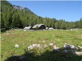 3
3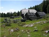 4
4 5
5 6
6 7
7 8
8 9
9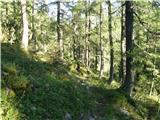 10
10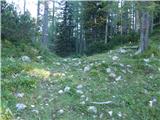 11
11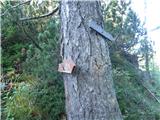 12
12 13
13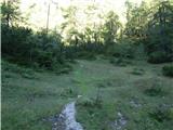 14
14 15
15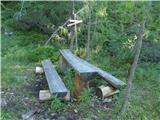 16
16 17
17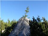 18
18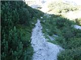 19
19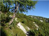 20
20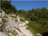 21
21 22
22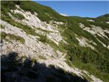 23
23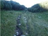 24
24 25
25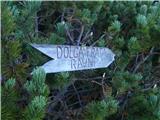 26
26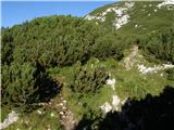 27
27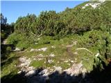 28
28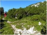 29
29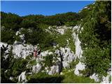 30
30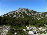 31
31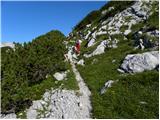 32
32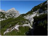 33
33 34
34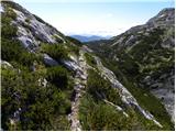 35
35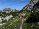 36
36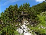 37
37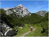 38
38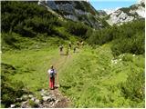 39
39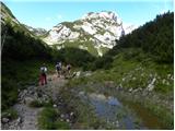 40
40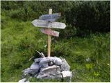 41
41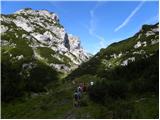 42
42 43
43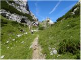 44
44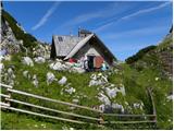 45
45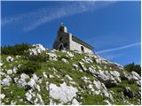 46
46
Discussion about the trail Planina Ravne - Chapel on Molička planina (via Zelene trate)
|
| ljubica17. 08. 2006 |
Prelep gorski sprehod med macesnovimi gaji, cvetjem, borovnicami (ta teden)in razgledi na gore, ki obkrožajo Dleskovško planoto. Po moje lepša varianta kot iz pl. Podvežak. LpLj
|
|
|
|
| Guest25. 01. 2008 |
Lepo pozdravljeni!
Je kdo slučajno te dni hodu kaj okoli Moličke planine, zanima me kake se razmere pa kakšna je cesta?
LP
|
|
|
|
| Kriška30. 06. 2008 |
Včerajšnja pot na Moličko planino je bila precej daljša kot piše v opisu, pa ne zaradi težavnosti poti, temveč zato, ker je bil to kot sprehod skozi bogat botanični vrt, pa si je bilo treba vzeti čas za občudovanje in fotografiranje cvetja. V tem času je narava na Dleskovški planoti zelo radodarna.
Kocbekovo zavetišče na planini je ob sobotah in nedeljah odprto in lahko dobite ohlajeno pijačo, kot bi jo vzeli iz svojega hladilnika (hlajeno pod skalami v naravnem okolju). Za postrežbo pijače skbi pašna skupnost, tako da se kakšno soboto za nekaj ur lahko zgodi, da je zavetišče zaprto, ker gre pastir preverit, kako je z živino, ki se pase na širšem območju.
Tudi kapelica je bila odklenjena, tako da smo si lahko ogledali lepo notranjost.
Zelo priporočam obisk!
|
|
|
|
| reina25. 05. 2009 |
Zakonec tedna bi radi na Moličko planino. Zanima me, je razdalja med Planino Ravne in Podvežakom, bi radi naredili krožno, če bi bilo možno. Upam, da ni več snega in da bo vreme lepo. Lep pozdrav vsem.
|
|
|
|
| rozka26. 05. 2009 |
Bila v soboto 23.05.na Ojstrici čez planino Podvežak, kjer se malo višje od planine Podvežak začne sneg...ga je bilo vsaj v soboto še ogromno 
|
|
|
|
| reina8. 06. 2009 |
Po dolgem času spet malo tu gor. Je bil kdo v zadnjih 14 tih dnevih na Molički planini. Obeta se lepo vreme konec tega tedna. Rada bi družbo popeljala gor, ker ni pretirano huda tura za bolj počasne. Upam, da ni snega.
|
|
|
|
| reina14. 06. 2009 |
Bila včeraj. Pot je precej snežena. Nikjer žive duše, koča še zaprta. Bom ponovila pohod, ko bodo vse poti kopne.
|
|
|
|
| marjanah17. 03. 2012 |
Očitno tole ni ravno priljubljena zimska destinacija, saj pot ni niti shojena. Sneg se danes vdira do kolen, tako da smo se obrnili. Poskusimo srečo ponovno poleti. 
|
|
|
|
| otiv17. 03. 2012 |
@marjanah to je predvsem raj za turne smučarje,seveda ob malo večji količini snega,kakor ga je letošnjo zimo. V juliju je še posebno lepo,ko vse polno cvetja. 
|
|
|
|
| trilko17. 03. 2012 |
Ja, jaz sem se letos ze 2x obrnil na poti na Moličko, nazadnje 1 mesec nazaj   Pa sem mislil da je že kaj manj snega glede na trenutne temperature, in sem mislil spet poskusiti. Očitno bom še malo počakal 
|
|
|
|
| otiv17. 03. 2012 |
@trilko počakaj na hladnejše vreme in seveda pred sončnim vzhodom na pot.Sam sem velkokrat opravil pot v snegu in ni bilo težav,vse pač zavisi od trenutnih razmer,te pa zadnje dni niso ugodne za hojo po snegu.
|
|
|
|
| Stamp14. 07. 2017 |
Da li sa Velikog Vrha (i Velike Zelenice) prema Moličkoj Kapelici postoji (markirana?) staza na JZ ili se mora vratiti prema Sedelcu (Zelenim tratama) na JV pa onda prema Kapelici ?
Hvala..
|
|
|
|
| garmont14. 07. 2017 |
Vrniti se moraš na Sedelce, od koder si se prej povzpel na vrh.
|
|
|
|
| garmont14. 07. 2017 |
Sem bil prehiter.  Seveda se lahko z vrha spustiš na drugo stran, ki je bližje Molički planini. Pot je že tri leta markirana, tako, da se ne rabiš vračati proti izhodišču poti. Lp
|
|
|
|
| Stamp14. 07. 2017 |
Super.. Još kad bi neki *.gpx bil za taj del.. 
|
|
|
|
| Stamp25. 07. 2017 |
Bili. Steta su Dom i Kapelica bili zaprti.. Inace super.. Opis, slike i karta na mom Photu : klik Tu a gpx na Wikiloc ili Endomondu (ili kao ZP) ako tko treba..
|
|
|
|
| orchigu24. 07. 2021 11:43:09 |
Prehodila 21.7.2021. Pot je res lepa, v tem casu posejana z barvami (roze, rusje, flikice snega, tudi kar nekaj krav na pasi direkt na poti - je bilo malo stresno se jim kdaj izognit), bi pa rekla, da za osebe s povorecno kondicijo pride konkretno vec kot dve uri, tudi na parkiriscu so oznake (po kazerikoli poti s pl. Ravne) 2.30 ali 2.45. Pot se lahko komu zacne rahlo vlect, ker je ves cas "gori doli naokoli" in med potjo nimamo zares dobrega obcutka, kaj nas caka cez naslednjih 100m in koliko imamo se do cilja. Lustna pot s predvsem fenomenalnomi razgledi pri kapelici, ampak je za racunat kar nekaj vec kot 2 uri hoje.
|
|
|
|
| Merlin188. 08. 2022 21:02:55 |
Kaksna je makedamski del ceste proti Planini ravne, je cesta v zadnjem času v slabem stanju ali se jo da prevoziti z manjšim avtomobilom? 
|
|
|
|
| KarmenT9. 08. 2022 07:37:50 |
Cesta je brez posebnosti. 
|
|
|
|
| ajdapetrovec9. 10. 2022 09:22:36 |
Krasen izlet, razgibana in nezahtevna pot z lepimi razgledi. Na vrhu tudi zelo prijazen oskrbnik in odličen čaj.
Cesta do izhodišča je bila normalno prevozna.
|
|
|