Planina Zajzera - Bivacco Stuparich (via Rifugio Grego)
Starting point: Planina Zajzera (1004 m)
| Lat/Lon: | 46,4565°N 13,46924°E |
| |
Name of path: via Rifugio Grego
Time of walking: 2 h 30 min
Difficulty: easy marked way
Altitude difference: 583 m
Altitude difference po putu: 640 m
Map: Julijske Alpe - zahodni del 1:50.000
Recommended equipment (summer):
Recommended equipment (winter): ice axe, crampons
Views: 690
 | 3 people like this post |
Access to the starting point:
From Kranjska Gora, take the Rateče border crossing to Trbiž / Tarvisio. Continue along the old road to Udine. After a few kilometres from Trbiz / Tarvisio, the road to Ovčje vas / Valbruna turns off to the left. Turn left here and follow the road as far as mountain pasture Zajzero, where you park in a large parking lot.
Path description:
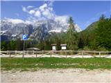
From the parking lot, where you have a very nice view of the north face of Jôf di Montasio, take the 611 trail on the right side of the chapel. Follow the signs for the Rifugio Grego hut and at the start you start to climb relatively steeply through the forest, later crossing the macadam road a few times, which also leads to the Rifugio Grego hut. The path then turns slightly to the right and leads us to a wooded ridge which also opens up some views to the north. For a better view it is necessary to step on one of the viewpoints on the edge of the ridge, but some caution is needed as the ridge to the north is precipitous.
We continue to climb through the forest and occasionally we get beautiful views towards Jôf di Montasio and Viš. We then follow this path all the way to the Rifugio Grego hut where there is a wonderful view, especially towards Montage.
The macadam road at the hut turns right and leads to the nearby Rudni vrh (Sella di Sompdogna) pass, and we follow the footpath to the signs for the hut. Route 651 leads straight ahead towards lake Laghetto di Somdogna and on to Krniška glavica (Jof di Sompdogna), and at the crossroads we turn left onto route 611 towards bivouac Stuparich.
The trail leads quickly into the forest and soon descends a little steeper. The trail then mostly crosses the slopes to the south, occasionally opening up some views towards the Višarje and the Stone Hunter. Later, the path turns slightly to the right and continues to cross slopes, occasionally descending a little. Here we also cross a few torrents and ravines, and from the path we begin to get better and better views towards Viš and Montaž. From the woods, we then pass into the dwarf pines, followed by a gentle descent into the valley to the usually dry Scolo Carnizza torrent bed, where we join the direct route from the mountain pasture of the Zajzer. There is also a marked crossroads.
Further along the valley, a slightly less well-trodden path leads to Krniška glavica and the Foran de la Grave saddle, and we follow the signs for the Stuparich bivouac and first cross the torrent bed. The path then starts to climb and turns left. The relatively steep path then passes mostly through a sparse larch forest, but higher up there are some dwarf pines and bushes along the way. This path then leads to a marked crossroads.
To the right is the path to the valley of Dunje (Val Dogna) and Krniška glavica, and we continue to the left. From the crossroads, the slopes cross to the east and the path soon leads to the Stuparich bivouac.

Pictures:
 1
1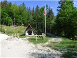 2
2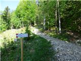 3
3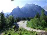 4
4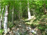 5
5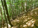 6
6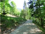 7
7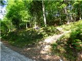 8
8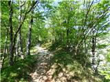 9
9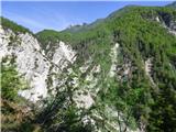 10
10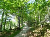 11
11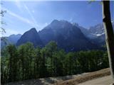 12
12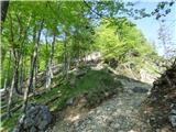 13
13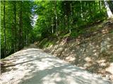 14
14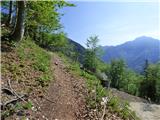 15
15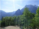 16
16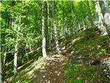 17
17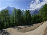 18
18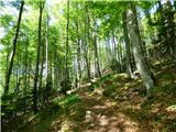 19
19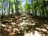 20
20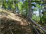 21
21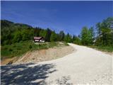 22
22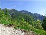 23
23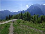 24
24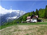 25
25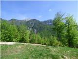 26
26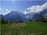 27
27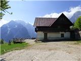 28
28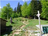 29
29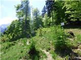 30
30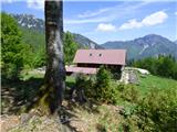 31
31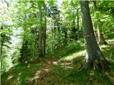 32
32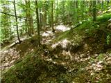 33
33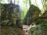 34
34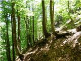 35
35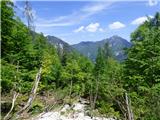 36
36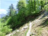 37
37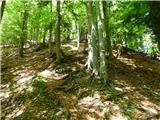 38
38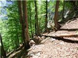 39
39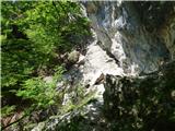 40
40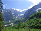 41
41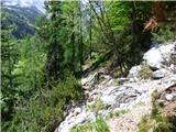 42
42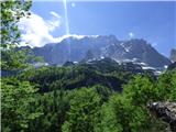 43
43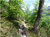 44
44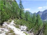 45
45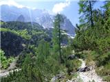 46
46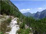 47
47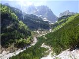 48
48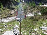 49
49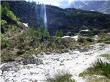 50
50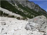 51
51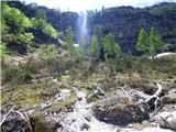 52
52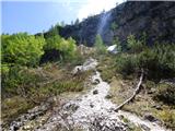 53
53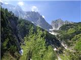 54
54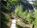 55
55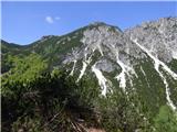 56
56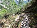 57
57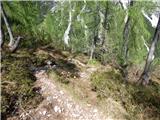 58
58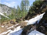 59
59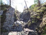 60
60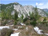 61
61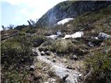 62
62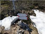 63
63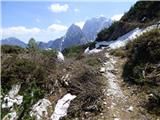 64
64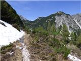 65
65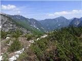 66
66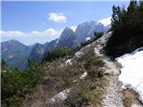 67
67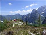 68
68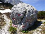 69
69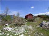 70
70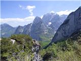 71
71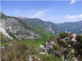 72
72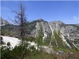 73
73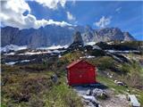 74
74
Discussion about the trail Planina Zajzera - Bivacco Stuparich (via Rifugio Grego)