Planina Zajzera - Laghetto di Somdogna
Starting point: Planina Zajzera (1004 m)
| Lat/Lon: | 46,4565°N 13,46924°E |
| |
Time of walking: 1 h 15 min
Difficulty: easy marked way
Altitude difference: 443 m
Altitude difference po putu: 450 m
Map: Julijske Alpe - zahodni del 1:50.000
Recommended equipment (summer):
Recommended equipment (winter):
Views: 621
 | 2 people like this post |
Access to the starting point:
From Kranjska Gora, take the Rateče border crossing to Trbiž / Tarvisio. Continue along the old road to Udine. After a few kilometres from Trbiz / Tarvisio, the road to Ovčje vas / Valbruna turns off to the left. Turn left here and follow the road as far as mountain pasture Zajzero, where you park in a large parking lot.
Path description:
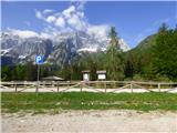
From the parking lot, where you have a very nice view of the north face of Jôf di Montasio, take the 611 trail on the right side of the chapel. Follow the signs for the Rifugio Grego hut and at the start you start to climb relatively steeply through the forest, later crossing the macadam road a few times, which also leads to the Rifugio Grego hut. The path then turns slightly to the right and leads us to a wooded ridge which also opens up some views to the north. For a better view it is necessary to step on one of the viewpoints on the edge of the ridge, but some caution is needed as the ridge to the north side is precipitous.
Continue to climb through the forest and occasionally beautiful views open up towards Jôf di Montasio and Viš. We then follow this path all the way to the Rifugio Grego hut where there is a wonderful view, especially towards Montage.
The macadam road at the hut turns right and leads to the nearby Rudni vrh (Sella di Sompdogna) pass, and we follow the footpath to the signs for the hut. To the left, the 611 trail leads to the Stuparich bivouac, and we continue straight on the 651 trail, which leads to the Laghetto di Somdogna lake and on to the Krniška glavica (Jof di Sompdogna).
From the hut, the path climbs through the forest for a while, but becomes flatter and turns slightly to the right. The path then leads out of the woods to a clearing on which is the Laghetto di Somdogna lake.

Pictures:
 1
1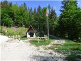 2
2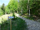 3
3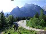 4
4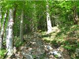 5
5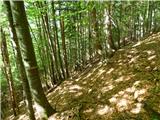 6
6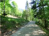 7
7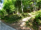 8
8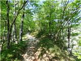 9
9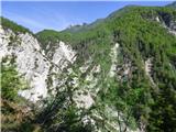 10
10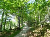 11
11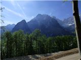 12
12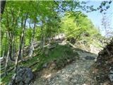 13
13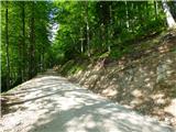 14
14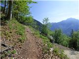 15
15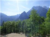 16
16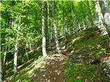 17
17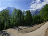 18
18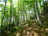 19
19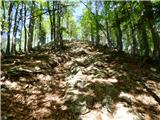 20
20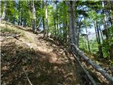 21
21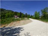 22
22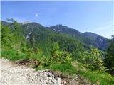 23
23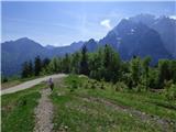 24
24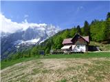 25
25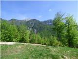 26
26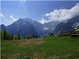 27
27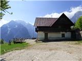 28
28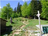 29
29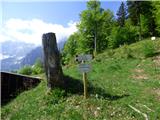 30
30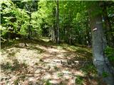 31
31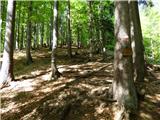 32
32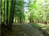 33
33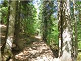 34
34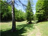 35
35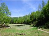 36
36 37
37
Discussion about the trail Planina Zajzera - Laghetto di Somdogna