Planinski dom pod Ježo - Ježa
Starting point: Planinski dom pod Ježo (740 m)
| Lat/Lon: | 46,1636°N 13,6694°E |
| |
Time of walking: 30 min
Difficulty: easy marked way
Altitude difference: 209 m
Altitude difference po putu: 209 m
Map: Julijske Alpe - zahodni del 1:50.000
Recommended equipment (summer):
Recommended equipment (winter):
Views: 5.415
 | 1 person likes this post |
Access to the starting point:
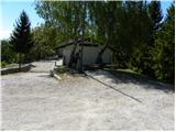
From Nova Gorica go to Tolmin or vice versa, and we follow the road to Ročinj, where the signs for Kambreško direct us left (and right from Tolmin). After 4 km we reach Kambreško, and at the crossroads in the middle of the village we turn right towards Srednje and Livko. We continue on the asphalt road, which turns to macadam and leads us to Planinski dom pod Ježo, where we park in a suitable place on the roadside.
The starting point can also be reached from the Solarji Pass, or from Volč or Livko.
Path description:
From the parking lot at Planinski dom pod Ježo, first cross the macadam road and then take the footpath towards Očna, Na gradu and Ježa. The trail goes immediately from the road into the forest, through which it starts to climb steeply. After about 15 minutes of walking, the path is laid and leads to a marked crossroads where the path to Očno and Deveti konfin branches off to the right (at the crossroads there is a sign only for Očno).
Continue straight on the path, which continues through the forest, but it starts to climb steeply again. A few more minutes of ascent follow and the path leads us out of the forest to the grassy top of Ježa, from which we get some views of the surrounding hills.
Pictures:
 1
1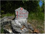 2
2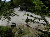 3
3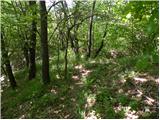 4
4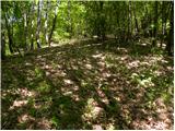 5
5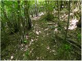 6
6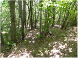 7
7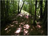 8
8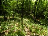 9
9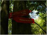 10
10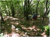 11
11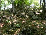 12
12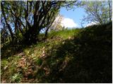 13
13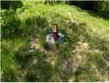 14
14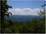 15
15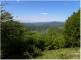 16
16
Discussion about the trail Planinski dom pod Ježo - Ježa