Planšarsko jezero - Roblekova planina
Starting point: Planšarsko jezero (897 m)
| Lat/Lon: | 46,4039°N 14,5152°E |
| |
Time of walking: 1 h 20 min
Difficulty: easy unmarked way
Altitude difference: 387 m
Altitude difference po putu: 387 m
Map: Karavanke - osrednji del 1:50.000
Recommended equipment (summer):
Recommended equipment (winter): ice axe, crampons
Views: 14.386
 | 1 person likes this post |
Access to the starting point:
From the motorway Ljubljana - Jesenice take the exit Kranj - East and follow the road towards Jezersko. From the petrol station on Zgornje Jezersko, follow the main road for about 1 km, then turn right towards Planšarski jezero, which you will reach after a 100 m further drive. Park in the large parking lot near the lake.
Path description:
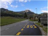
From Planšarski jezero, follow the road you came on back to the main road, cross it carefully, and then continue along its edge towards Austria. Walk along the main road for about 200 m and then you will see the signs for the Roblek homestead, which will direct you to the left onto the local road. Follow the local road across a large meadow with a view, then reach a small crossroads (Pr Božjem učes), where you turn left (to the right is the Roblek homestead). The dirt road then leads past a small wooden house, after which the road gradually turns into a forest. As the road enters the forest, it first crosses a small stream, then quickly leads to a long right turn where it crosses the stream again.
Just before the road crosses the stream again, leave the road and continue straight on to cart track, which starts to climb moderately. Cart track leaves a small ravine higher up and turns left onto steep slopes, over which it climbs cross-country to the abandoned farmstead of Žarkovo. Here the path leads us for a while over a scenic slope, and then returns to the road along which we walked in the lower part of the route. Follow the road to the left, and we follow it, with occasional views of Kamnik Savinja Alps, all the way to the border ridge.
When the road crosses over to the Austrian side, we leave it and continue slightly to the right on a well-traced path that continues along the border ridge. Continue along the gently sloping ridge to the nearby Roblekova planina, which is reached after 5 minutes of further walking.

Pictures:
 1
1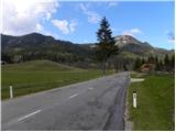 2
2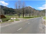 3
3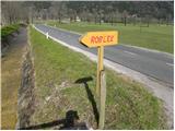 4
4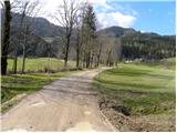 5
5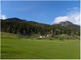 6
6 7
7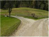 8
8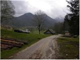 9
9 10
10 11
11 12
12 13
13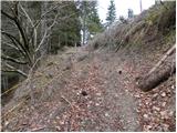 14
14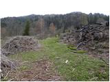 15
15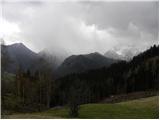 16
16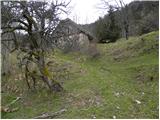 17
17 18
18 19
19 20
20 21
21 22
22 23
23 24
24 25
25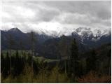 26
26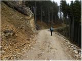 27
27 28
28 29
29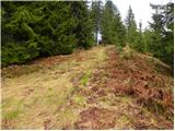 30
30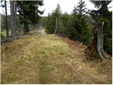 31
31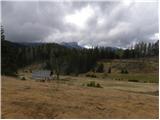 32
32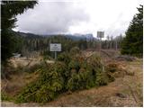 33
33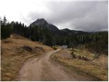 34
34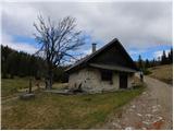 35
35
Discussion about the trail Planšarsko jezero - Roblekova planina
|
| francimedved30. 04. 2012 |
Zanimiva tura je tudi s prelaza Jezerski vrh, Rakeževa planina, Ankova planima, Roblekova planina.
|
|
|
|
| jana196612. 01. 2020 |
Iz planine se po cesti pot lahko nadaljuje proti Jezerskemu vrhu in po stari cesti ,katera poteka 500m od mejnega prehoda ,v graben zaključi na točki začetka.Zelo lepa krožna zimska tura včeraj v soncu.
|
|
|
|
| RosanaJ31. 03. 2024 18:53:14 |
Slabo sledljivo, nič označeno. Morda tistim, ki vseeno želijo na planino, predlagam vzpon kar po cesti. Malce daljša, a manj naporna in zelo razgledna pot
|
|
|
|
| ločanka1. 04. 2024 08:50:49 |
RosanaJ se ti kar čudim. Pred leti sva hodila od sedla Jezerski vrh proti Roblekovi planini in ni bilo prav nobenih problemov. Lani sva pa hodila od Jezerskega vrha nazaj do cerkve sv.Andreja in tudi ni bilo nobenih dvomov na poti  .
|
|
|