Plavški Rovt - Waterfalls in Preska
Starting point: Plavški Rovt (890 m)
| Lat/Lon: | 46,4579°N 14,0329°E |
| |
Time of walking: 30 min
Difficulty: easy pathless terrain
Altitude difference: 20 m
Altitude difference po putu: 20 m
Map: Karavanke - osrednji del 1 : 50.000
Recommended equipment (summer):
Recommended equipment (winter): ice axe, crampons
Views: 8.984
 | 4 people like this post |
Access to the starting point:
From the motorway Ljubljana - Jesenice take the exit Lipce (Jesenice East) and follow the road to Jesenice, where signs for Planina pod Golico direct you to the ascending road (the third semaphoreised junction from the centre or railway station). The steep road leads to a junction where you turn left and then over a bridge towards Plavske Rovto. When you reach this village, follow the road until it runs out of asphalt. After the village, the dirt road first drops slightly and then turns left. After a few 10 metres, you will see a parking space on the right hand side.
Path description:
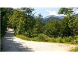
After a few metres of walking, shortly after the place where we left our vehicle, we turn right on a macadam road which slightly descends and shortly afterwards turns right. As we descend on the almost flat macadam, we get a nice view of Klek and the Rosenbachsattel saddle rising above our horizon. The path turns slightly left and leads to its end near the bed of the Raten stream (also Svobodni potok on some maps) with a bridge on the right, and just a little higher up to a small abandoned quarry which we see straight ahead. A few 10 metres before the latter, turn right to cart track with a small bridge crossing the Svobodni potok. Immediately on the other side of the brook you will see another cart track branching off to the right (we will come back to this fork later), which you should take and leave the first one. Soon the path, which becomes overgrown, leads us to the bed of the Raten stream, which we cross, and on the left bank of the stream, along the rocks on the right, we climb to the vicinity of the 8-9 metre high, beautiful and picturesque waterfall on the Raten stream. Then cross the stream again at a suitable point and continue along the right bank to the upper 5 metre waterfall, which falls onto a moss-covered rock. If you wish, you can climb a little higher along the right bank and see the riverbed with the undercut and a small trough above this waterfall. Then return to the fork at the little bridge and turn right to cart track, which we left earlier. After a short climb along the Svobodni potok on the left, on the same side there is the possibility of a short descent to the stream bed, where you will encounter picturesque stepping stones. Once back on cart track, continue uphill for only a short distance before turning right at an overgrown, barely visible left fork. After walking for a few 10 metres, you come close to a stream with a rock wall on the other side. You then climb along the stream bed for a few more metres, eventually coming across a 6-7 metre high, picturesque waterfall on Svobodni potok.

Pictures:
 1
1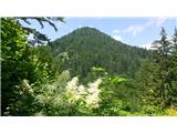 2
2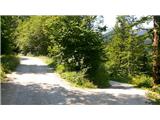 3
3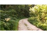 4
4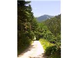 5
5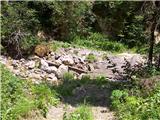 6
6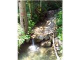 7
7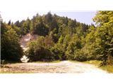 8
8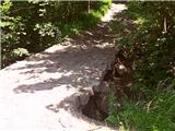 9
9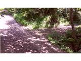 10
10 11
11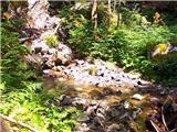 12
12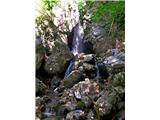 13
13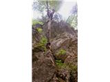 14
14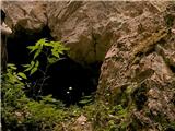 15
15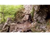 16
16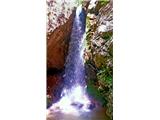 17
17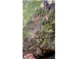 18
18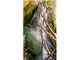 19
19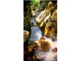 20
20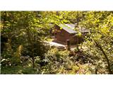 21
21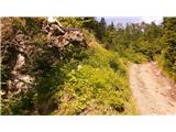 22
22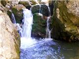 23
23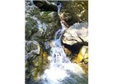 24
24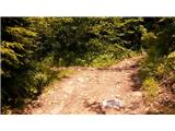 25
25 26
26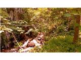 27
27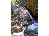 28
28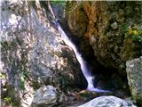 29
29
Discussion about the trail Plavški Rovt - Waterfalls in Preska
|
| MonikaG12. 05. 2021 09:40:49 |
Če se v Plavški Rovt odpravljate po razgled na narcise, si morate nujno ogledati še slapove v Preski. Sicer pot ni označena ampak je lepo prehodna. Malenkost je treba biti previden, sploh pri prečkanju struge in zraven slapu, ampak nič hujšega. Super izlet in lepa neokrnjena narava!
|
|
|