Plockenpass - Rifugio Marinelli
Starting point: Plockenpass (1360 m)
| Lat/Lon: | 46,6027°N 12,9447°E |
| |
Time of walking: 2 h 30 min
Difficulty: partly demanding marked way
Altitude difference: 762 m
Altitude difference po putu: 820 m
Map: Tabacco 9
Recommended equipment (summer):
Recommended equipment (winter): ice axe, crampons
Views: 6.461
 | 2 people like this post |
Access to the starting point:
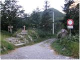
From Trbiz/Tarvisio, take the motorway to Udine/Vidmo. Leave the motorway at Carnico and first follow signs for Tolmezzo, then signs for Austria and the Pso di Croce Carnico Pass / Plockenpass. On the Italian side of the pass, park in a large parking lot.
Path description:
At the parking lot, take the narrow road marked Rifuggio Marinelli (route 146). After a few dozen metres, you will reach a crossroads where you turn right onto a military mulatier, which you then follow up through sparse woodland and meadows below the steep slopes of mountain Creta di Collinetta (2238m). The military mulatier becomes a track and soon you will reach a crossroads where the path to the top of the mountain branches off to the right.
We continue on the left path, which crosses the grassy slopes in a slight ascent and leads us to a small plain. An unmarked trail from mountain pasture Collinetta di Sotto joins us from the left, and just after this we reach a marked crossroads where the trail to Cresta Verde (2150m) branches off to the right. Continue along the 146 towards the Marinelli hut, which is still less than two hours away. Here the trail becomes a bit steeper and climbs through lightly overgrown bushes and tall grass. Once out of the scrub, the path becomes more level and a path branches off to the right to Creta di Collina (2659m).
Here, crossing quite steep slopes, we start to descend and some fixed safety gear is helpful. A slightly more challenging descent through a natural window and crossing steep slopes covered with nettles follows, leading to a junction.
The right-hand path leads to Cima di Mezzo (2713m), and we continue on the left-hand path towards the hut. The path climbs again through meadows and just before the hut we join a dirt track (route 148). Here we will also see the Laghetto di Plotta lake along the way. The cart track then ends shortly and it is only a few minutes' climb to the hut.

Pictures:
 1
1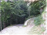 2
2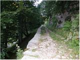 3
3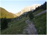 4
4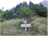 5
5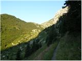 6
6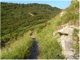 7
7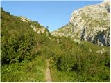 8
8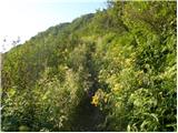 9
9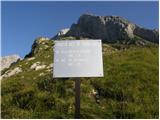 10
10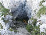 11
11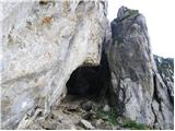 12
12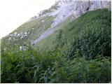 13
13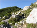 14
14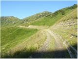 15
15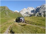 16
16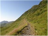 17
17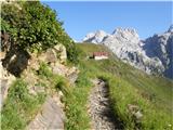 18
18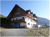 19
19
Discussion about the trail Plockenpass - Rifugio Marinelli
|
| GORNIK 123. 06. 2009 |
Ali kdo ve,kakšne so razmire na tej poti?
|
|
|
|
| triglavski24. 06. 2009 |
V tistih koncih sem sicer bil že v začetku tega meseca. Sneg je bil le v nekaterih kotanjah in ni predstavljal nobenih težav, sedaj je sigurno že vse kopno. Sicer pa je pot povsem netežavna, jaz območja z ruševjem nisem videl nikjer, le grmičevje, ki pa ne ovira hoje, skozi naravni preduh je nameščenih nekaj jeklenic, ki olajšajo prehod, vendar ni težavno. Priporočam, le vreme se mora izboljšati.
|
|
|
|
| Edelweiß2. 07. 2025 23:04:23 |
Bil na tej poti prejšnji teden. Snega ni nikjer več, pot je v celoti kopna. Jeklenice zgledajo precej nove in pa dodanih ali pa zamenjanih je nekaj novih skob. Ob jezeru ki pa je zelo majhno (bilo bi ustreznejše da se uporablja besedo jezerce) in s katerega so se videli zgolj šopi visoke trave je tudi klopca za oddih.
|
|
|