Starting point: Plužna (450 m)
| Lat/Lon: | 46,336°N 13,5133°E |
| |
Time of walking: 30 min
Difficulty: partly demanding unmarked way
Altitude difference: 100 m
Altitude difference po putu: 130 m
Map: Julijske Alpe - zahodni del 1:50.000
Recommended equipment (summer): helmet, lamp
Recommended equipment (winter): helmet, ice axe, crampons, lamp
Views: 5.222
 | 3 people like this post |
Access to the starting point:
First, drive into the centre of Bovec, where you follow the road up past the church towards the village of Kaninska. Follow the road and it will soon lead you to a crossroads where you continue left down towards the village Plužna (straight road to Kanin). The road will then lead you to the village Plužna, where you will take a sharp right turn in the middle of the village uphill. The road then leads us to the last house in the village behind which the road starts to descend and after 100 m of descent leads us to the signposts, where we park in a small parking lot near them.
Path description:
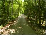
From the starting point, continue straight down (left down the Virje waterfall) along the road, which soon lays down, crosses a bridge and leads us to a small crossroads. Continue to the right (left reservoir lake 1 minute) along the gently sloping path which, after a few minutes of further walking, leads to the source of Glijuna.
At this spring, you will see signs for the karst cave Srnica, which direct you slightly left on a footpath that starts to climb moderately through the dense forest. Higher up, the path levels out a little more, crosses lane of bushes and then turns slightly to the left. A short scree slope is crossed, and then the path leads to the torrent of the cave Srnica. At the beginning of the torrent, the path turns to the right and climbs steeply to the entrance to the Srnica Cave. The last metres below the cave entrance are guarded by a rope.
Pictures:
 1
1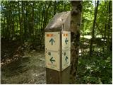 2
2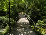 3
3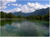 4
4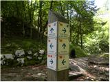 5
5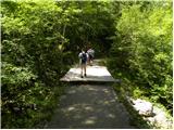 6
6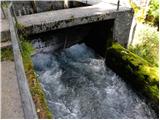 7
7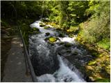 8
8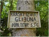 9
9 10
10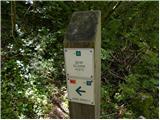 11
11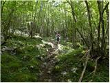 12
12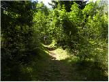 13
13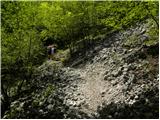 14
14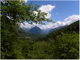 15
15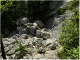 16
16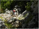 17
17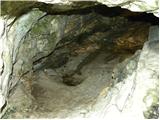 18
18 19
19
Discussion about the trail Plužna - Srnica cave
|
| francimedved1. 07. 2014 |
Od Gljuna naprej je slabo označena pot, tako da je pohodnik večkrat v dvomih, če je na pravi poti.
|
|
|