Starting point: Pod Krnico (1250 m)
| Lat/Lon: | 46,4346°N 14,4083°E |
| |
Time of walking: 45 min
Difficulty: easy unmarked way
Altitude difference: 197 m
Altitude difference po putu: 200 m
Map: Karavanke - osrednji del 1:50.000
Recommended equipment (summer):
Recommended equipment (winter):
Views: 1.140
 | 1 person likes this post |
Access to the starting point:
Drive to Tržič, then follow the signs for Dovžanovo s Gorge, Dolina and Jelendol. At Jelendol, turn right towards Medvodje (left mountain pasture Šija), then follow a fairly steep dirt road to Medvodje, where you turn left towards Dolga njiva. When you reach Košutna (1080 m), go right towards mountain pasture Dolga njiva (the other mountain pasture below Košuta are on the left) and follow the road to the marked parking area below Cirque, where you park.
Path description:
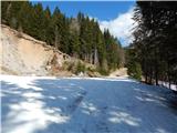
From the starting point, continue along the road parallel to the marked trail, and when you cross the Košutna stream, the road turns right and climbs cross-country. The road ascends for some time and then splits.
Continue along the road to the right, which continues south-eastwards, occasionally affording fine views. When you reach a small pass to the north of Črna peč, continue straight on to cart track, bear right from it and then take two minutes through the forest to reach the top of Črna peč, walking a few steps further west for a good view.
Description and pictures refer to March 2020.
Pictures:
 1
1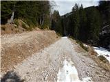 2
2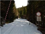 3
3 4
4 5
5 6
6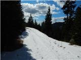 7
7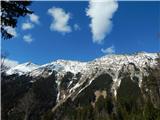 8
8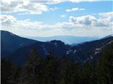 9
9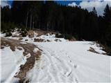 10
10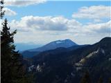 11
11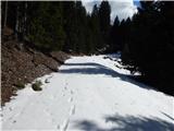 12
12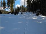 13
13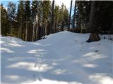 14
14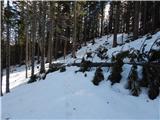 15
15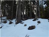 16
16 17
17 18
18
Discussion about the trail Pod Krnico - Črna peč