Starting point: Pod Krnico (1250 m)
| Lat/Lon: | 46,4346°N 14,4083°E |
| |
Time of walking: 1 h 20 min
Difficulty: easy unmarked way
Altitude difference: 551 m
Altitude difference po putu: 551 m
Map: Karavanke - osrednji del 1:50.000
Recommended equipment (summer):
Recommended equipment (winter): ice axe, crampons
Views: 20.045
 | 3 people like this post |
Access to the starting point:
From the Ljubljana - Jesenice motorway, take the Ljubelj exit. The road then quickly leads us to Tržič, and we continue to follow it in the direction of the villages Jelendol and Medvodje. In the village Medvodje turn left towards Kosuta (direction Dolga njiva and Koschutnikturm) onto the forest road which we follow to the crossroads at Košutna (1082 m). Here we turn right and follow the sometimes worse road to the parking area of a small quarry.
Path description:
From the parking lot, take the cart track road, which branches off to the left of the road. Cart track goes into the wods and climbs moderately, crossing first a small and then a larger stream. Cart track, which has some shortcuts, makes a few bends and after a good 15 minutes leads to the pastures mountain pasture Lower Long Meadow.
After a short walk along mountain pasture, the path leads to a crossroads where there are signposts. Bear right in the direction of the Koschutnikturm eastern approach route. After a few dozen steps, the gently sloping path leads to the shepherd's hut at mountain pasture Lower Dolga njiva.
Continue on the mountain pasture up the middle of which is a wide dirt track which, after a good 15-minute walk, leads out of the forest to the mountain pasture Upper Long Meadow.
The marked trail to Koschutnikturm then turns left, and we continue slightly right towards the border ridge. A little higher, at a suitable place, cross a grazing fence and continue climbing along an occasionally slightly less visible path that runs along the boundary line (the path leading to Plešivec starts at boundary stone 13). This path, which is mostly surrounded by dwarf pines, is then followed to the top.
During the ascent to Plešivec, you should also be careful of snakes, as there are a lot of them.
Starting point - Zgornja Dolga njiva 45 minutes, Zgornja Dolga njiva - Plešivec 35 minutes.

Pictures:
 1
1 2
2 3
3 4
4 5
5 6
6 7
7 8
8 9
9 10
10 11
11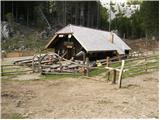 12
12 13
13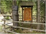 14
14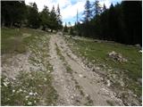 15
15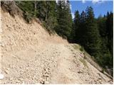 16
16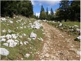 17
17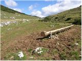 18
18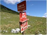 19
19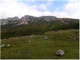 20
20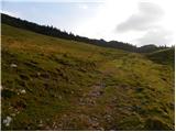 21
21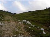 22
22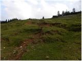 23
23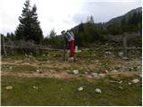 24
24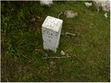 25
25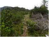 26
26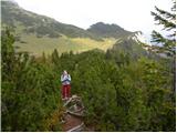 27
27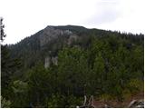 28
28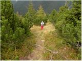 29
29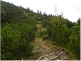 30
30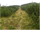 31
31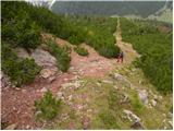 32
32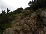 33
33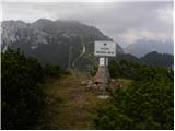 34
34
Discussion about the trail Pod Krnico - Plešivec
|
| Guest28. 04. 2007 |
Lep izlet, opravila sva ga danes, le da sva z Zgornje Dolge njive oz. z Orlovskega sedla nad njo zašla in šla po poti okrog Plešivca skoraj do planine Brsnina, nato pa na mejo in z južne strani na Plešivec. Že res, da je ta pot daljša, je pa zanimiva, saj vidiš precej več, pa še del poti se ti ni treba vračati po isti poti, od koder si prišel.
|
|
|
|
| Guest31. 10. 2007 |
Lepa pot primerna za te dni, ko je v visokogorju sneg. Tu pa nekaj cm snega izleta ne ovira. Priporočam, Evgen.
|
|
|
|
| Guest31. 10. 2007 |
Kako je pa s cesto do parkirišča pri kamnolomu, je normalno prevozna?
|
|
|
|
| Loni22. 09. 2013 |
Včeraj sem dala čez greben Košute, danes pa pred kosilom samo hiter skok na Plešivec. Luštna turca za na hitrco opraviti.
|
|
|
|
| Loni23. 09. 2013 |
sem pozabila omeniti, da so par korakov levo od mejnega kamna št. 13 stopnice, ki olajšajo prehod ograje, pri kamnu pa je lesena usmerjevalna tabla.
|
|
|
|
| tango21. 11. 2021 14:35:16 |
Na povratku s Košutnikovega Turna sva skočila še na Plešivec, od koder je čudovit pogled na celoten greben Košute, pa tudi na KSA. Ko si v tistem koncu, je kratek skok na Plešivec skoraj nujen!
|
|
|