Pod Peco/Koprein-Petzen - Topitza
Starting point: Pod Peco/Koprein-Petzen (1280 m)
| Lat/Lon: | 46,5072°N 14,6961°E |
| |
Time of walking: 1 h 15 min
Difficulty: easy marked way
Altitude difference: 369 m
Altitude difference po putu: 369 m
Map: Kamniške in Savinjske Alpe 1:50.000
Recommended equipment (summer):
Recommended equipment (winter): ice axe, crampons
Views: 7.270
 | 1 person likes this post |
Access to the starting point:
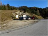
Cross the Jezersko border crossing or Pavličevo sedlo to Železna Kaple, and there, at the beginning of the village, you will see signs for Lepena/Leppen, which will direct you to the right. The road then leads through the village to the village of Pod Peco/Koprein-Petzen, where it starts to climb steeply. The road climbs higher and leads to the Riepl Inn, where you park in the parking lot next to the information boards.
Path description:
From the parking lot, first walk a few steps down the asphalted road, then turn onto the macadam road towards Topica. The road first climbs gently over a grassy slope, then passes into the forest, where after a few minutes of walking, signs direct you to the right onto a footpath. The path continues through dense coniferous forest on a path that is lined with numerous needles, allowing for a pleasantly soft walk. A little higher up, the path bends and leads to a larger clearing where you can see an animal feeding area. Only a few 10 steps further on, we leave the wide cart track and continue our ascent along the marked mountain path, which starts to climb moderately along the edge of the forest. Higher up, the path leads to a ridge, where it turns to the left and lays completely flat. The way forward takes us past a hunting observation post and continues along the ridge, following a relatively fresh clearing. After a few minutes of easy walking, the path turns to the right and starts to climb steeply along the edge of the very steep western slopes of Topica. Higher up, the path gently slopes down to partly unploughed slopes, from which there is a fine view, especially to the south. As you climb up this slope, you will see a salt pan, and the path turns left just above it. A few minutes' ascent to the left and the path leads to a crossroads where we join the path from the valley of the Lobnik stream. Here, continue to the right and after a few minutes of further walking, you will reach the top of Topica.

Pictures:
 1
1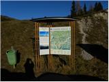 2
2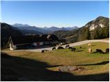 3
3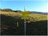 4
4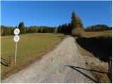 5
5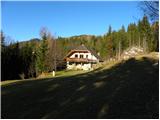 6
6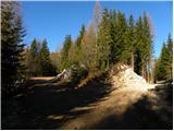 7
7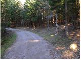 8
8 9
9 10
10 11
11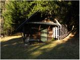 12
12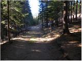 13
13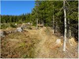 14
14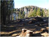 15
15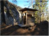 16
16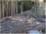 17
17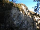 18
18 19
19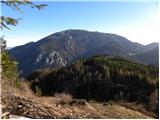 20
20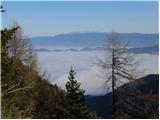 21
21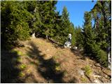 22
22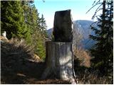 23
23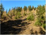 24
24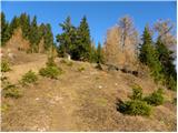 25
25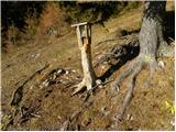 26
26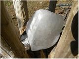 27
27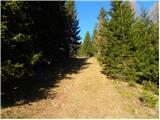 28
28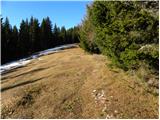 29
29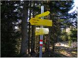 30
30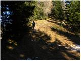 31
31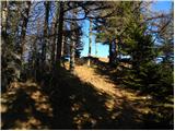 32
32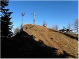 33
33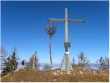 34
34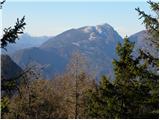 35
35
Discussion about the trail Pod Peco/Koprein-Petzen - Topitza
|
| Tadej23. 11. 2009 |
Ob povratku s Topice, si je vredno ogledati še prvo cerkev vseh ver za mir in pa bližnji Peršmanov spominski dom, slednji je odprt le od maja do oktobra ob sobotah in nedeljah.
|
|
|
|
| kregl23. 11. 2009 |
Poznaš slučajno pristop s slovenske smeri, torej, če pridem iz Črne - Koprivna - čez luže... kolk je potem do tega "tvojega" starta?
|
|
|
|
| Tadej23. 11. 2009 |
Od mejnega prehoda na planini Luža do izhodišča je približno 30 minut.
|
|
|
|
| Lunca22. 10. 2017 |
Da se naredit tud krozno. Vcerej start pri gostilni Riepel. Na vrh Topice, potem pa naprej do Ojstre. Z Ojstre sva potem nadaljevali v smeri proti Zelezni kapli, vendar samo do odcepa, kjer prides na pot 603, ki povezuje Zelezno kaplo in Peco. Po poti 603 sva se potem vrnili na izhodisce. Na poti sva si ogledali se Persmanov muzej. Muzej je resnicno vreden ogleda, vodicka pa prijazna, da malo takih. Pot je ves cas odlicno markirana.
|
|
|