Podbrdo - Koča na Petrovem Brdu (by road)
Starting point: Podbrdo (508 m)
| Lat/Lon: | 46,2132°N 13,9717°E |
| |
Name of path: by road
Time of walking: 1 h
Difficulty: easy marked way
Altitude difference: 296 m
Altitude difference po putu: 300 m
Map: Škofjeloško in Cerkljansko hribovje 1:50.000
Recommended equipment (summer):
Recommended equipment (winter):
Views: 5.050
 | 4 people like this post |
Access to the starting point:
a) First drive to Škofja Loka, then continue to Železniki, Podbrdo and Tolmin. When you arrive in Podbrdo, park in a suitable place in the centre of the town.
b) From the road Idrija - Most na Soči, turn right at Bača pri Modreju, or left if you are coming from the route of Posočje, and continue to Podbrdo. When you arrive in Podbrdo, park in a suitable place in the centre of the town.
Path description:
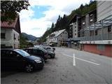
From the centre of Podbrdo, continue along the main road towards Železniki, where the path initially leads past the kindergarten and the Simon Kos Primary School Podbrdo. Some 10 m further on, at a small crossroads, continue left towards the parish church of St. Nicholas in Podbrdo, where opposite the TIC in Podbrdo we see the first mountain direction signs for Bača at Podbrdo and Vrh Bače (there are also signs for the Mountain Marathon of the 4 Municipalities (GM4O)). A little further on, the road we are walking on turns slightly left over a small bridge (straight cemetery) and begins to climb crosswise over the river Bača. The asphalt soon ends, and the road behind the wooden sign leads us to a marked crossroads, where a marked footpath branches off to the left, and we continue along the road, along which there are still signs for GM4O. At a small leveling-off point the road turns right and splits into two parts. The left-hand path (originally a road) leads to the settlement of Bača at Podbrdo, but here we continue straight on, this time on a road that gradually crosses over to the left bank of the river Bača. A little further on, at a crossroads with two benches, the GM4O route turns left, and we continue along the right-hand road, which continues to climb transversely. At the left turn, where the trail passes onto the southern slopes of Kramarjev hill, the marked footpath from Podbrdo joins us from the right. We continue along the road, which climbs crosswise, and from it we occasionally get some views towards Podbrdo, Kalarski brdu and the slopes of Porezno. Higher up, the forest ends and the road leads us to the hayfields of Petrovy Brdo. After the trestle, which you will see on your left, continue left at a small crossroads. A few steps further on, you will reach a parking area below the Petrovo Brdo Pensioners' Home. At the end of the parking lot, turn right and walk past the chapel to the main road. Follow the main asphalt road to the left, which leads you through an underpass under a stone or partly wooden bridge. On the other side of the underpass, continue left and you are already at the Petrov Brdo Mountain House.

Pictures:
 1
1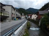 2
2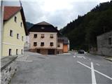 3
3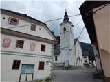 4
4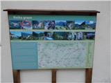 5
5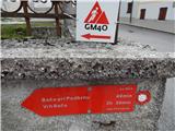 6
6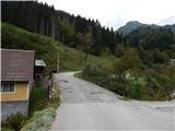 7
7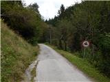 8
8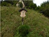 9
9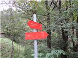 10
10 11
11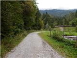 12
12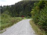 13
13 14
14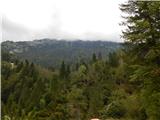 15
15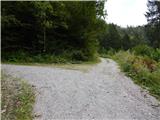 16
16 17
17 18
18 19
19 20
20 21
21 22
22 23
23 24
24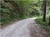 25
25 26
26 27
27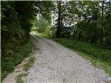 28
28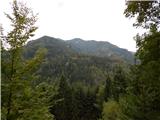 29
29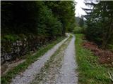 30
30 31
31 32
32 33
33 34
34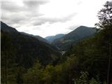 35
35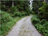 36
36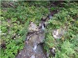 37
37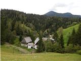 38
38 39
39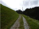 40
40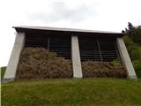 41
41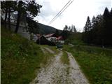 42
42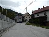 43
43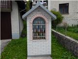 44
44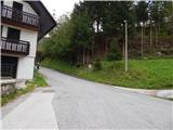 45
45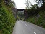 46
46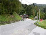 47
47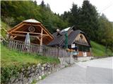 48
48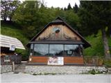 49
49
Discussion about the trail Podbrdo - Koča na Petrovem Brdu (by road)
|
| mirank16. 02. 2021 |
Koča je bolj kot ne oštarija, saj je ob cesti, ma "oskrbnik" je bolj planinsko prijazen kot so v večini koč.
|
|
|
|
| acjom14. 01. 2024 15:01:10 |
Zakaj je koča zaprta ze dlje casa????
|
|
|
|
| lijaneja14. 01. 2024 17:26:22 |
Ta koča ni več odprtega tipa.
|
|
|