Podbrezje (Dolenja vas) - V Boštkú
Starting point: Podbrezje (Dolenja vas) (440 m)
| Lat/Lon: | 46,2901°N 14,2798°E |
| |
Time of walking: 15 min
Difficulty: easy unmarked way
Altitude difference: 26 m
Altitude difference po putu: 40 m
Map: Karavanke - osrednji del 1:50.000
Recommended equipment (summer):
Recommended equipment (winter):
Views: 427
 | 2 people like this post |
Access to the starting point:
From the road Naklo - Podbrezje, in the settlement Podbrezje turn left (from the opposite direction right) towards the hamlet Dolenja vas. The route starts at the house with the house number Podbrezje 59. There are no parking spaces in the settlement, so it is best to park somewhere along the main road, this will extend the route by about 10 minutes.
Path description:
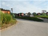
From the crossroads near the house with house number Podbrezje 59, turn slightly right, then follow the road to the last house, from where you continue into the forest. Follow the wider path through the woods, first a little to the left, straight ahead for a while and then slightly to the right. After a few minutes of easy walking, you will reach the signpost at Boštkú.
From the sign you can continue to a viewpoint a few minutes away, but at the crossroads we continue slightly left and follow the winding path, which only drops a little in the last part, all the way to the viewpoint.
Description and pictures refer to the situation in 2019 (August).
Pictures:
 1
1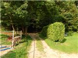 2
2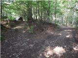 3
3 4
4 5
5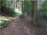 6
6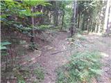 7
7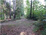 8
8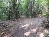 9
9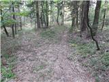 10
10 11
11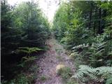 12
12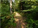 13
13 14
14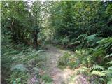 15
15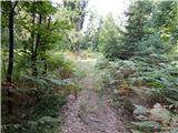 16
16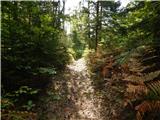 17
17 18
18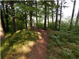 19
19 20
20
Discussion about the trail Podbrezje (Dolenja vas) - V Boštkú