Starting point: Podgozd (209 m)
| Lat/Lon: | 45,7971°N 14,9659°E |
| |
Time of walking: 1 h 50 min
Difficulty: easy marked way
Altitude difference: 679 m
Altitude difference po putu: 679 m
Map: Dolenjska - Gorjanci, Kočevski Rog 1:50.000
Recommended equipment (summer):
Recommended equipment (winter): ice axe, crampons
Views: 15.180
 | 1 person likes this post |
Access to the starting point:
a) First drive to Žužemberk, then continue to Dvor and Soteska. When you arrive in Dvor, continue driving to the right in the direction of Kočevje. After crossing the Krka River, the road climbs steeply and leads to the settlement of Jama, where you turn left towards Podgozda. When you arrive in Podgozd, follow the road at the crossroads, along which there are signs for Sv. Petra. Park a little behind the "last" house, in a suitable place next to the wooden signpost for St. Peter.
b) From Novo mesto or Bela krajina, drive to Soteska, and from there continue to Žužemberk. When you reach the village of Dvor, turn left in the direction of Kočevje. After crossing the Krka River, the road climbs steeply and leads to the settlement of Jama, where you turn left towards Podgozda. When you arrive in Podgozd, follow the road at the crossroads, along which there are signs for Sv. Petra. Park a little behind the "last" house, in a suitable place next to the wooden signpost for St. Peter.
c) First drive to Kočevje, then continue driving in the direction of Novo mesto and Žužemberk. After Lašče, the road starts to descend steeply towards the Krka valley, but we do not descend completely into the valley, as in Jama we continue to the right towards Podgozd. When you arrive in Podgozd, follow the road at the crossroads, where there are signs for St. Peter's. Park a little behind the "last" house, in a suitable place next to the wooden signpost for St. Peter.
Path description:
From the starting point, continue along the marked path in the direction of Sv. Peter, where the path first leads us along the wide cart track, from which we soon go left, onto the path that continues along the forest. The path, which at first gives us some views of the other side of the Krka River, where we can see Plešivica, quickly passes into the forest, where the first station of the Stations of the Cross is located (up to the top, there are 14 crosses in total, which is the equivalent of 14 Stations of the Cross).
Continue up the path through the woods, and at a higher level join the cart track. As you ascend the cart track, follow the signs carefully at the crossroads, and cross a dirt road higher up. After the road, climb moderately for a while, then reach the wider cart track, which leads to the next road, a marked path, with occasional Stations of the Cross along the way. Continue along the ascending road for a while, but soon leave it as the markings lead you left onto a path which, after a few minutes, leads you to the next road. Once on the road, take a few steps to the left and then, at the 9th stop, continue to the right, back on the footpath, or cart track. A few minutes higher, cross the dirt road for the last time, and the path continues to climb, first moderately and then steeply. Higher up, a mesh fence appears to the right of the path, and then a steep path climbs up to St Peter's, where there is a lookout tower and, slightly to the right, a pleasant shelter, which is usually open on Sundays.
Description and pictures are as of 2016 (September).

Pictures:
 1
1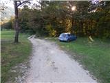 2
2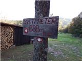 3
3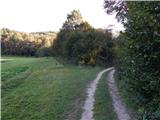 4
4 5
5 6
6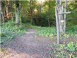 7
7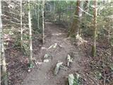 8
8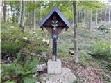 9
9 10
10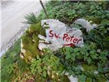 11
11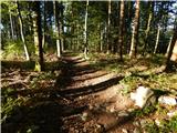 12
12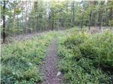 13
13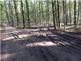 14
14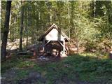 15
15 16
16 17
17 18
18 19
19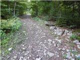 20
20 21
21 22
22 23
23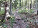 24
24 25
25 26
26 27
27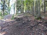 28
28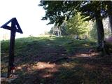 29
29 30
30 31
31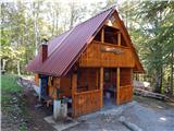 32
32
Discussion about the trail Podgozd - Sveti Peter
|
| Matjaž9692. 01. 2023 12:10:26 |
Pot je odlično označena, nemogoče je zgrešiti. Kmalu po začetku je na levi strani brezno, označeno je z opozorilnimi tablami. Vredno je pogledati. Čas hoje je krajši, lahko bi bilo navedeno, da je 1,5h.
|
|
|